Category Archives: Outer Banks

Epilogue Maria

Wednesday morning my barometer was still reading 996 millibars as the center of Maria moved slowly northward offshore over a hundred miles away.

The winds shifted from northeast, north and then northwest. Already high sound tides were getting slightly higher, but not high enough to cause concern. Our neighbors in Hatteras Village and Ocracoke had more storm surge and it flooded some of their streets.

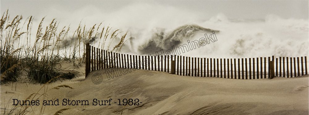
Meanwhile the tumultuous ocean wet the highway through Mirlo Beach.

The artificial dune line north of town was keeping the highway passable.

NCDOT worked frantically to keep the water from washing out the road at the S-Curve…. just barely.

It looks like north Rodanthe survived another one.

Seas were still intense yet I could see it was beginning to show signs of moderating.

The clouds from Maria kept drifting around.

Rodanthe Pier is always a great place to view the excitement.

Eric and I ventured out on the shaky deck as a huge set rolled in and broke right in front of us.

We were astonished to see a couple of teenagers body surfing in the hurricane soup… just craziness.

Having been out on the blowing beach all day, I decided to head home and wash the sand off.

Later I drove to ramp 25 to end my date with Maria. The seas were calming down as the sun set.

Hurricane clouds loomed in the sky.

And I kept shooting the awesome environment around me.

The best hurricanes are the ones that keep their distance.


Closer Call Maria

Thankfully Hurricane Maria is forecast to go by out to sea, east of us. It should be about a hundred miles away early tomorrow morning while weakening to a tropical storm.

Nonetheless it’s a blustery day in the villages, with gigantic seas and northeast winds gusting to 40 and higher.  As Maria passes, winds should clock around due north then northwest. The switching wind is usually dramatic.

At noon the ocean off Rodanthe was already in turmoil.

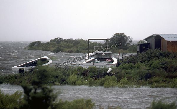
The main concern on Hatteras Island will be flooding from the Pamlico Sound. I’ll post more as conditions allow.

continued…. At sundown, I went to check the north end of town again. That’s where the action is.

This evening the S-Curve is still passable at low tide.

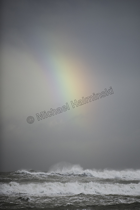
There were some breaks in the cloud cover with intermittent rain squalls.

It was a chore holding the camera steady in wind gusts.

For maximum sky coverage, I used a 20mm lens.

In the quickly fading light, I made sure to get a vertical shot.

Tonight I’ll have my truck parked on higher ground. Tomorrow will be different.

So far, so good!

Close Call Jose

Late Summer through Fall has long been my favorite time to be on Hatteras Island. Crowds thin and weather conditions become more tropical. There are so many pluses, then tropical influences can develop into hurricanes.

I’ve always relished waves spawned from a distance. Sitting well offshore last week Jose generated some of the best surf in years. For a few of those days however, seas washed over the highway in spots and even shut it down for a tide cycle. I went to Rodanthe to investigate.

During road closures, north Rodanthe becomes a staging area for exiting traffic.

Sea water flows in from the beach and because of it’s salinity is highly corrosive for automobiles splashing through.

At the end of Surfside Drive sits another imperiled cottage.

In 1980 this beach house was 4 lots back from the oceanfront. Now look at it.

With NCDOT shutting down the main road, Mirlo Beach looked pretty empty and bleak.

NCDOT was busy working in the usual places, like S-Curves.

The oceanfront at Mirlo Beach has long been an area of high erosion rates. Homeowners there are certainly in a real estate bind, and with another storm named Maria coming, things are likely to get much worse.

I couldn’t resist a self portrait opportunity and wondered if this porch swing would still be intact next week, after Maria sweeps by the Outer Banks.

Hurricanes are a fact of life here and although we tend to compare some storms to others, they are unique unto themselves. The ones that pass well off the coast can be beautiful and dramatic, with spectacular skies.

In 1991, I made this photograph of the leading edge of Hurricane Bob as it approached Cape Hatteras. An evacuation had been ordered and the following day we experienced gusts near a hundred with the eye going by about 25 miles offshore.

With Hurricane Maria, about 300 miles to the southeast, we’re under an evacuation order. Tropical storm and storm surge warnings are up. Now it’s a waiting game.

Shelly Island and the Great Power Outage

When the bridge to Hatteras Island at Oregon Inlet was opened in 1962, it changed the way people live here. Road access and electricity made life easier for the locals and boosted the economy.

The recent power outage reminded me again that we’re living on an island and dependent upon on  mainland conveniences. Disruptions in electric service have been commonplace historically, but less common as transmission lines got updated.

After years of living here I’ve learned to expect the unexpected. The recent power outage is a good example. It came as a surprise and unlike numerous other events was due to a manmade error. Once the island was evacuated of visitors there was an immediate quietness from the busy peak-summer noises, and streets became eerily deserted.

For two days, a portable generator kept our freezer and refrigerator from spoilage and kept some lights on, until the electric co-op could bring in the generators to give us needed relief.

Luckily, during the outage we experienced the best weather of the entire summer. Temperatures moderated and humidity was minimal.

On a gorgeous evening, I rode my bike down the center of highway 12 without a car in sight.

To help in the repair, huge bucket trucks were staged on the road to the Rodanthe Pier.

Normally packed with fishermen, the pier was empty.

Throughout the Summer we kept hearing about the newly formed island off of Cape Point. This constantly changing location has always been a geographic phenomenon. There have been island shoals there before, but I haven’t witnessed one as large as the new Shelly Island.

It became wildly popular and made national news. The crowds out there made me want to avoid it. But when the lights went out, and the evacuation order came, I changed my mind.

That’s when I decided it was a perfect time to check it out.

Upon arrival we could see Shelly Island across the waves in the distance. There were a few people out there and perhaps 2 dozen vehicles parked along the Cape Point shoreline.

I saw children and adults frolicking in an ultimate water park. Tide pools created big spas and everyone was clearly having a wonderful time.

I was taken by a little girl happily playing with a doll.

My friends Chris and Chandra were paddling back after exploring the island.

Another paddle boarder was on his way over with his dog behind him.

People walked to and from the island on a shallow sandbar.

Once I waded to the island, I could understand it’s namesake, as a nice small wave rolled along shore.

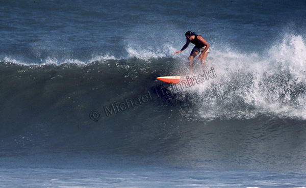
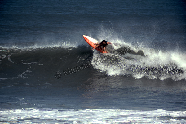
A surfer cruised by on his long board.

Shelly Island is a shell seeker’s paradise.

Mike Bigney found and old piece of a shipwreck timber.

By some estimates, Shelly Island is a mile long.

In an unscheduled day off, the whole crew from Lisa’s Pizza was on hand to make a good time of it.

At the far end of Shelly is the shoal were north and south swells converge. It’s also been an area of numerous shark sightings. I expect to make more visits to Shelly Island.


Vintage

The way photography is today, you can’t believe every picture you see. Images can be enhanced or altered relatively easy. My photography has been pretty straight forward. I’ve always tried to make prints how I shot them. In the real darkroom tools were fairly limited compared to digitized versions.

Last year I had a commission to work on a book cover with the Cape Hatteras Lighthouse and Keepers Quarters as it’s main theme. It needed to look like it could have been the early 1900’s. The historical fiction book entitled Seaspell was written by local author Bronwyn Williams and published by Chapel Hill Press.

I scoured through thousands of images before I came up with a working concept. In 1996 I was using a medium format camera producing negatives measuring 2 ¼ x 2 ¾ inches. The larger negatives yielded some pretty sharp prints compared to 35mm.

The main shot I used was taken from an unusual northwest angle near the old coast guard base. Visible to the right was the original keepers quarters. To make it look more dated, I removed a utility pole, some shrubs and the boardwalk extending from the lighthouse over to the beach.

Other items needed to be added though. In the original photo, the sky was clear and featureless. I had taken another photo as Hurricane Edouard passed offshore on September 1 that same year. It showed the lighthouse from another angle, but displayed gorgeous clouds as a result of the nearby storm.

I selected those clouds and pasted them into the featureless sky, and it made a dramatic difference. To give a little more depth to the composition, a strip of blue ocean was added between the dunes from a third photograph. The publisher later added a figure walking down the path.

It took some time to throw it all together and still appear genuine, but it illustrates you just can’t believe everything you see.