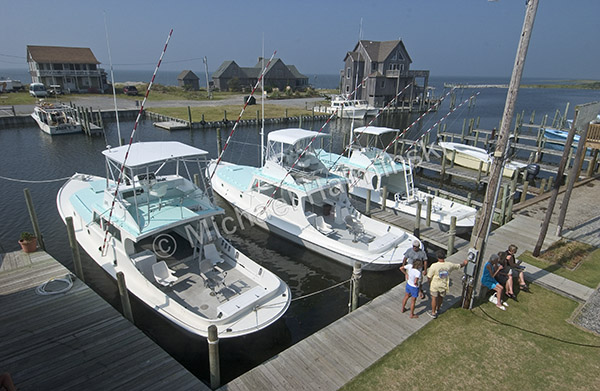
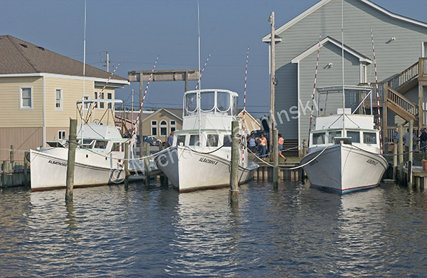
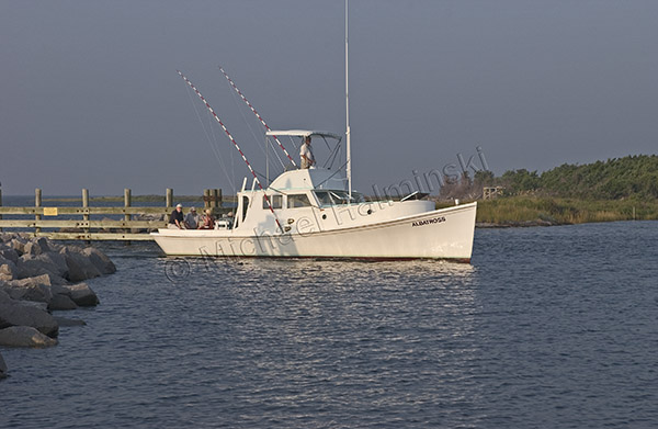
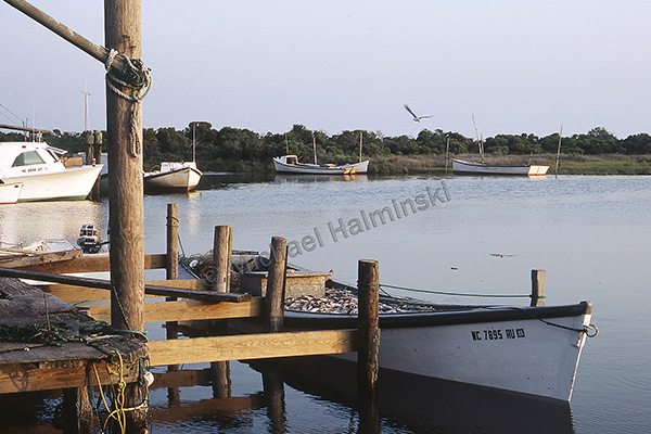
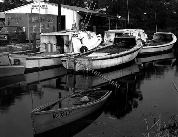
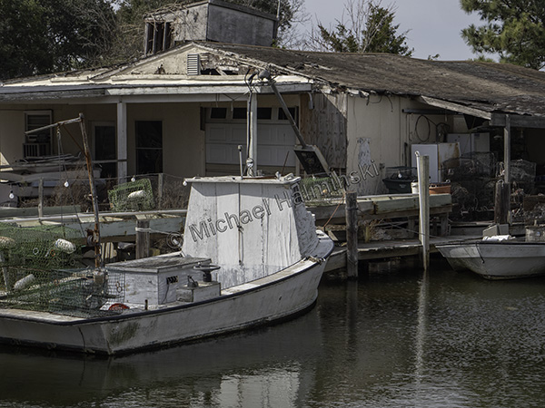
Over 5 decades ago I moved to Hatteras Island. Things were a bit different back then. Hatteras had yet to be discovered by the masses and many locals made livelihoods from the sea. I was particularly taken with the commercial fishing industry. On the sound side of all seven villages, there were small working waterfronts where individuals could keep their boats and bring in the catch. Today those waterfronts are all but gone.
The village of Avon originally known as Kinnakeet had one of those waterfronts. That’s where generations of native Kinnakeeters had lived, and worked on the water. I saw this place as a hidden gem.
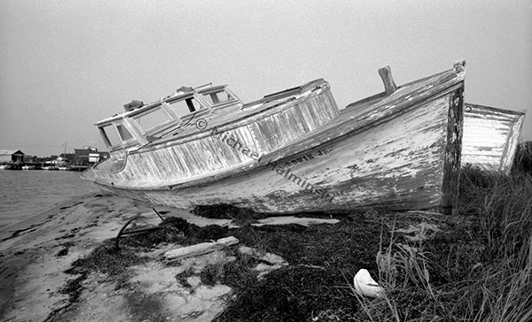
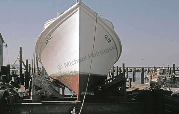
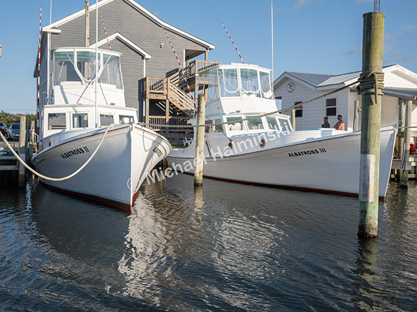
While wandering the Avon Harbor in 1977, I photographed a wooden workboat that lay derelict in the marsh. It was about 40 feet long and beautiful. With rounded stern, dead-rise design and distinctive trunk cabin, it could have been a sister ship to the Albatross boats built in Marshallberg, NC. The Edwin Jr. had seen better days. Little did I know at that time, it was a precursor to a way of life in decline.