Category Archives: inlets and sandbars

I D’s Island

Just a few hundred yards offshore of my property, sits a low marshy island in Pamlico Sound. On navigational maps it’s called Great Island, but I’ve always known it as I D’s Island, named for my late neighbor Mr. I D Midgett. I D’s Island has likely been owned by that same family since first settling on Hatteras a few hundred years ago.

Mapping surveys from the 1880’s by Lt. Francis Winslow showed Great Island to be considerably larger in those days, perhaps 2 or 3 times bigger. Today it’s not only smaller, but has been cut into segments. Wave action and rising waters continue to erode this pristine salt marsh. Once upon a time it must have been connected to the main body of Hatteras Island.

Sometimes I D would perform prescribed burns on the island. Burning off vegetation is said to improve plant and wildlife habitat. With a State permit in hand, he had to wait for certain conditions after a dry spell accompanied by a light northeasterly breeze.

On a September evening in 1991, I D Midgett with sons Dale and I D jr. began burning the island.

Fanned by an ocean breeze, flames spread with a setting sun backdrop.

Burning continued well in to the night.

I don’t think I’ll ever see anything quite like that again.


Pelican Island

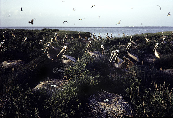
The Summer of 1980 I went on an excursion in a 14 foot skiff with photographer friends Ray Matthews and Foster Scott. We launched the boat from Ocracoke and began to explore the inlet and some small islands. One island especially attracted us. Known as Beacon Island, it was once the site of a small brick lighthouse in the mid-1800’s.

Breeding pelicans were first observed on Beacon in 1928, but the population ran into trouble with widespread use of DDT which weakened the shells, causing mortalities as the birds numbers plummeted. Following the ban of DDT in 1972, brown pelicans began making a dramatic comeback.

One morning, I used a 20mm Nikkor lens on an F2 to photograph the nest site on the opposite side of the island.

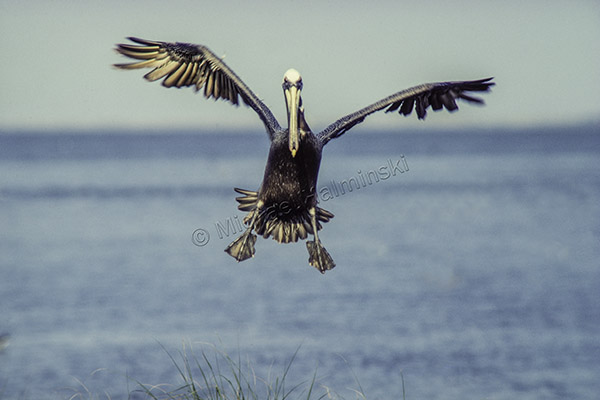
Then attaching a 400mm Novoflex lens I caught this one returning to its nest.

We used the island as a base camp, and explored surrounding waters and islands for three days. At the time, research was being conducted on Beacon as it was the northernmost nesting site for brown pelicans on the east coast. Since then the island has come under the ownership and protection of Audubon North Carolina. Today pelican nesting on Beacon is prolific.


Bridging the Gap

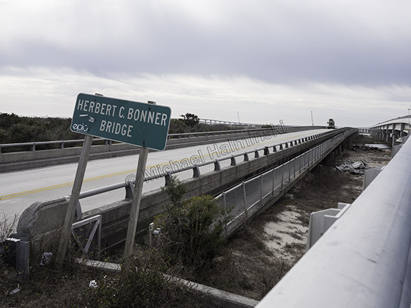
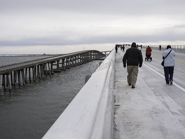
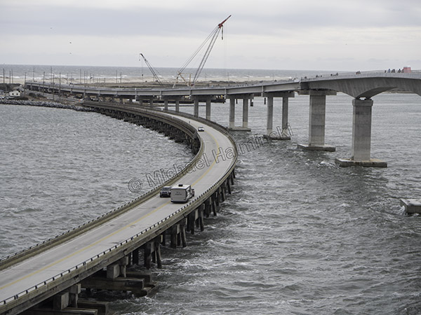
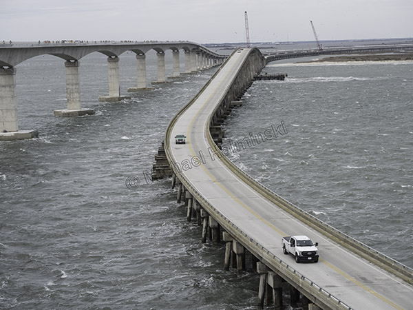
No matter how you look at it, the new bridge over Oregon Inlet is an engineering marvel. For the past few years, driving over the old Bonner Bridge, we witnessed the construction progress, going together like a humongous tinker toy.

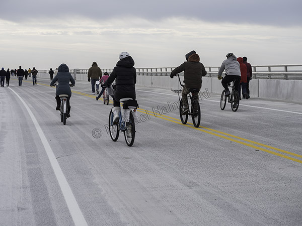
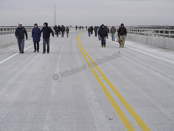
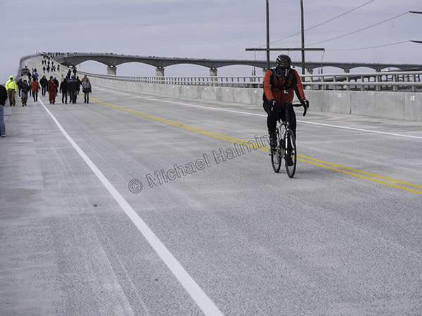
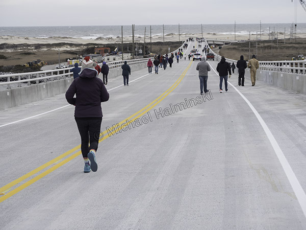
Last Saturday, NCDOT opened the new thoroughfare just for pedestrian and bike traffic. It happened to coincide with 40° weather and a northeaster, making it somewhat more challenging.

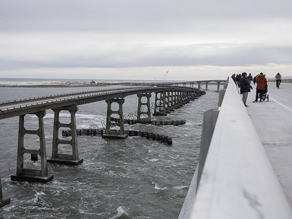
The Bonner Bridge is well past it’s life span, so it’s out with the old, in with the new.

At 10:15 we began our walk on the north side, heading south, downwind. Dozens of folks had already begun the 2.8 mile trek.

With a 30 mile an hour breeze at their backs, bikers hardly even needed to peddle.

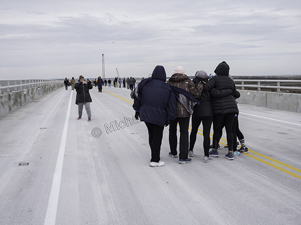
Everyone was bundled up.

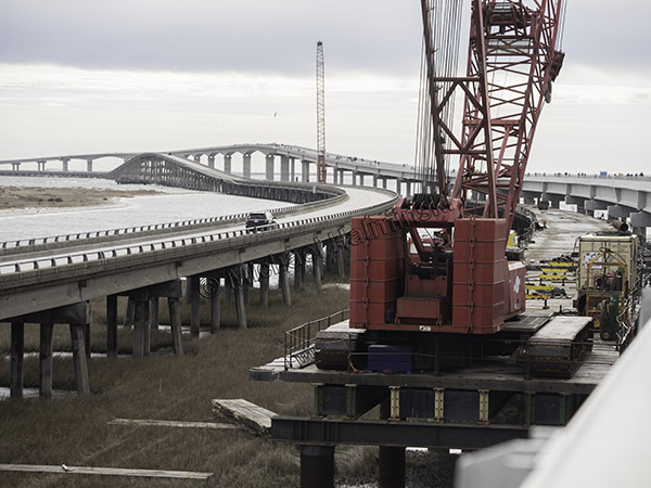
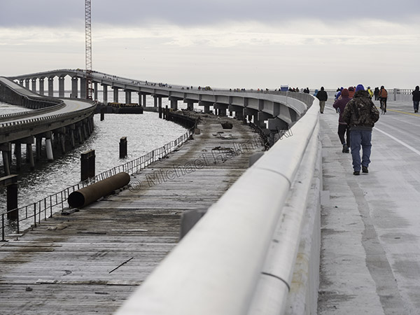
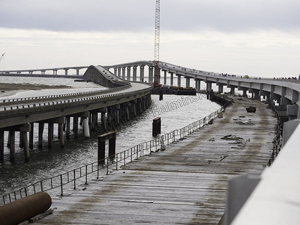
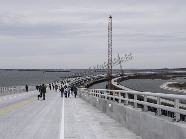
Equipment was still in place.

Following a curve, the new road rises to the peak about 90 feet above the water.

The high point of the old Bonner Bridge is about 70 feet.

Hitting the uphill grade, I felt the wind intensify as if the bridge created a Venturi effect.

Facing into the wind from the rise, I saw more approaching troops braving the elements.

On top the wind seemed to accelerate even more, as tide boiled through the inlet.

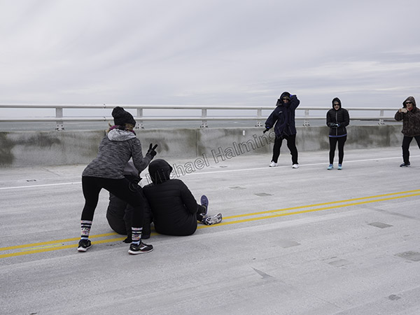
Photo ops were everywhere and everyone became photographers.

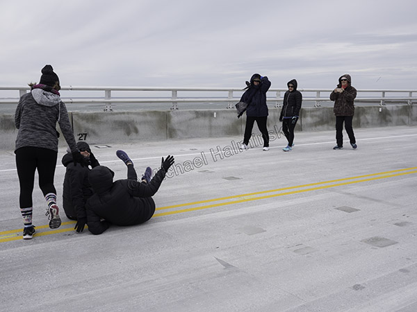
This crew got the shot and then in a gust…

… almost got blown away.

Three quarters into the walk, the south end of the new bridge converges back toward the old bridge landing.

Looking back I could see hundreds of people still underway.

A cyclist coasted to the end of his downhill run.

Welcome to Hatteras Island, home of Highway 12, probably the most expensive road to maintain in the entire state.


Shelly Island and the Great Power Outage

When the bridge to Hatteras Island at Oregon Inlet was opened in 1962, it changed the way people live here. Road access and electricity made life easier for the locals and boosted the economy.

The recent power outage reminded me again that we’re living on an island and dependent upon on  mainland conveniences. Disruptions in electric service have been commonplace historically, but less common as transmission lines got updated.

After years of living here I’ve learned to expect the unexpected. The recent power outage is a good example. It came as a surprise and unlike numerous other events was due to a manmade error. Once the island was evacuated of visitors there was an immediate quietness from the busy peak-summer noises, and streets became eerily deserted.

For two days, a portable generator kept our freezer and refrigerator from spoilage and kept some lights on, until the electric co-op could bring in the generators to give us needed relief.

Luckily, during the outage we experienced the best weather of the entire summer. Temperatures moderated and humidity was minimal.
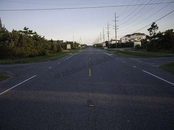
On a gorgeous evening, I rode my bike down the center of highway 12 without a car in sight.
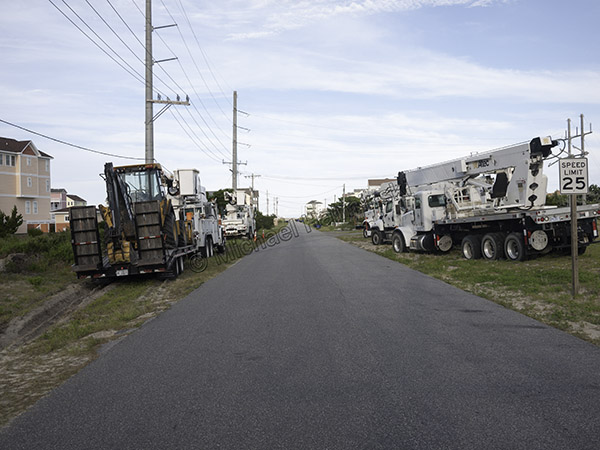
To help in the repair, huge bucket trucks were staged on the road to the Rodanthe Pier.
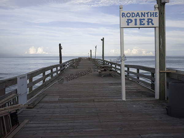
Normally packed with fishermen, the pier was empty.

Throughout the Summer we kept hearing about the newly formed island off of Cape Point. This constantly changing location has always been a geographic phenomenon. There have been island shoals there before, but I haven’t witnessed one as large as the new Shelly Island.

It became wildly popular and made national news. The crowds out there made me want to avoid it. But when the lights went out, and the evacuation order came, I changed my mind.

That’s when I decided it was a perfect time to check it out.
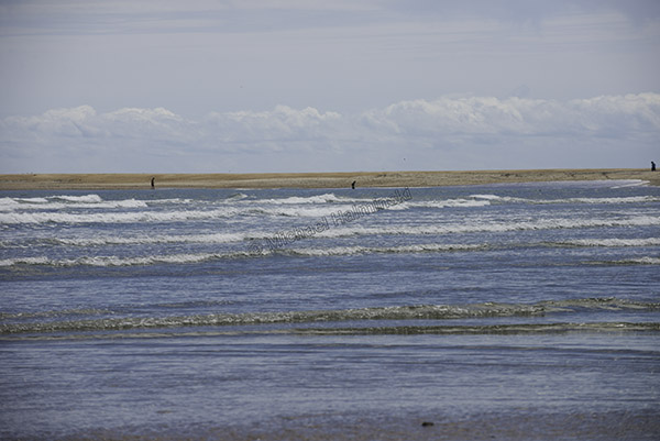
Upon arrival we could see Shelly Island across the waves in the distance. There were a few people out there and perhaps 2 dozen vehicles parked along the Cape Point shoreline.
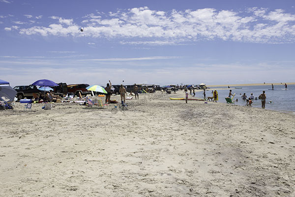
I saw children and adults frolicking in an ultimate water park. Tide pools created big spas and everyone was clearly having a wonderful time.
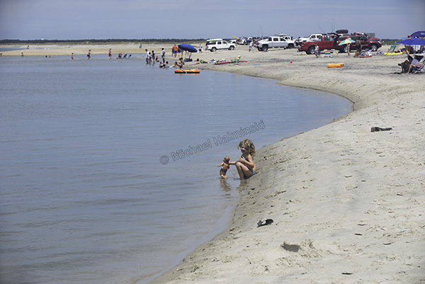
I was taken by a little girl happily playing with a doll.
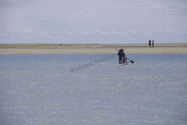
My friends Chris and Chandra were paddling back after exploring the island.
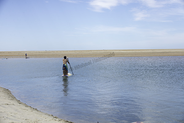
Another paddle boarder was on his way over with his dog behind him.
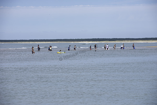
People walked to and from the island on a shallow sandbar.
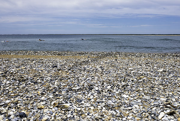
Once I waded to the island, I could understand it’s namesake, as a nice small wave rolled along shore.
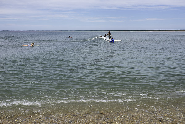
A surfer cruised by on his long board.
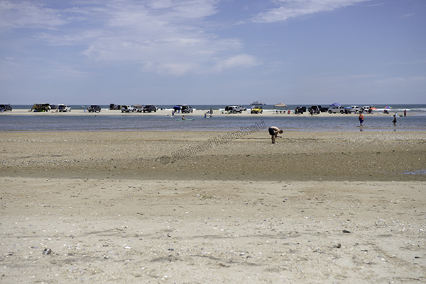
Shelly Island is a shell seeker’s paradise.
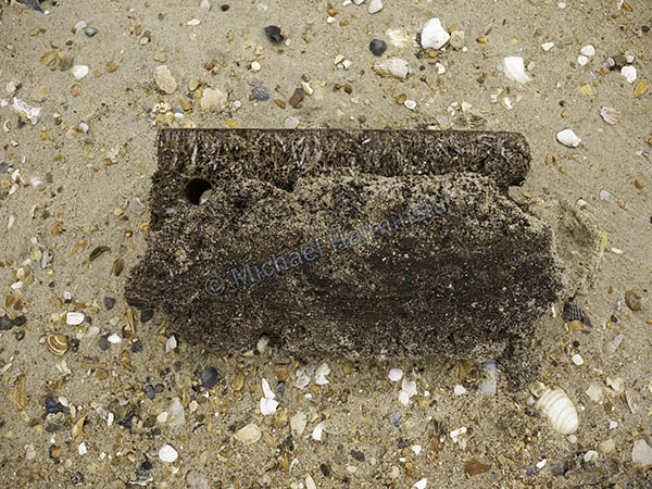
Mike Bigney found and old piece of a shipwreck timber.
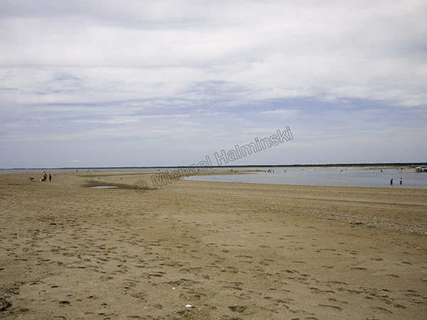
By some estimates, Shelly Island is a mile long.
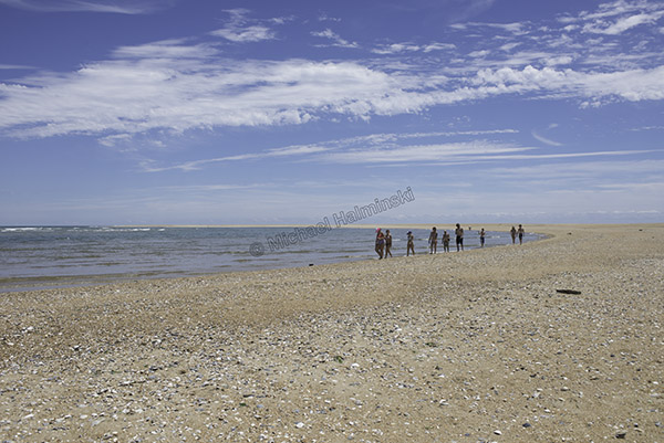
In an unscheduled day off, the whole crew from Lisa’s Pizza was on hand to make a good time of it.
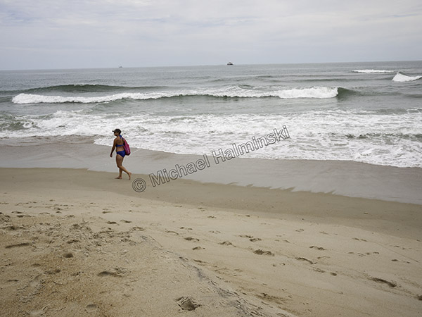
At the far end of Shelly is the shoal were north and south swells converge. It’s also been an area of numerous shark sightings. I expect to make more visits to Shelly Island.


New Inlet

One of the first places I explored on Hatteras Island was New Inlet on Pea Island. The old remnant bridge that’s still there, was built after the storm of ’33 cut an inlet from sound to sea. As a result, traffic was interrupted on the sand road, so the state began construction of a bridge to span the troubled spot. The new inlet filled back in on it’s own, and the state halted construction before it was completed.

I used to walk out precariously on that deteriorating, unfinished bridge to catch hard crabs on baited strings. It wasn’t uncommon to come home with a few dozen nice ones. Since then, New Inlet has always brought me a feeling of wonder and tranquility.

I wasn’t the first one to get enjoyment there. Long before, there were fish camps where locals could hunt and fish for sustenance. It must have been a beautiful, bountiful outpost.

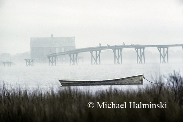
skiffOne of the first photographs that I made at New Inlet was taken in 1979 as I was testing a brand new 400mm Novoflex lens for the first time. I parked my truck on the shoulder of highway 12, stood in the bed and made 4 handheld, identical exposures to see how the lens worked. The shot later became a somewhat iconic image as the cover of Hatteras Journal, written by Jan DeBlieu.

bridgeI took a similar shot in 1982. John Herbert’s sail skiff, once again, served as a crucial element in the composition.

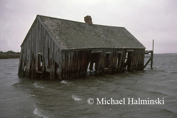
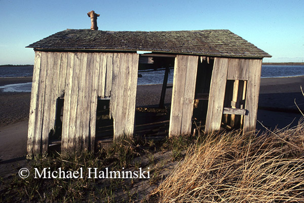
St. ClairBy January of 1985, the fish camp once owned by St. Clair Midgett had dropped from it’s foundation into the water. Later that same year, when Hurricane Gloria blasted through, it took what was left, completely away.

fish campIn May of 1985, I shot this smaller camp just northwest of St. Clair’s. It too was taken out by Gloria.