Category Archives: Sea

Irene, the New Benchmark

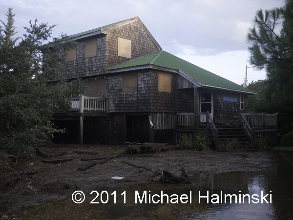
Despite our well intentioned preparations, hurricane Irene took everyone in our villages by surprise. I knew we were going to have a significant storm surge from the Pamlico Sound, as in storms of the past, but not to the extent that we got. In 2003, Isabel brought in 18 inches of water on my property. Floyd in 1999 was 24 inches. Bonnie in 1998 had 26 inches. The March storm of 1993 flooded with 50 inches of tide, and Irene came in with a whopping 66 inches. According to some of the old timers, the storm of 1944 was a benchmark by which other storms were compared. Flooding back then was apparently somewhere between the March storm and Irene. Hurricane Irene brought in more storm surge from the sound than any storm for the last 75 years. It is now the new benchmark for soundside flooding in our villages on this part of Hatteras Island.

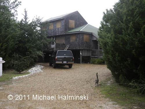
Boarded up, an all too familiar sight.

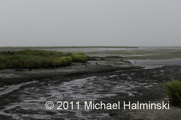
Pamlico Sound tide blown out upon Irene’s approach.

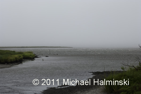
Tide coming in ahead of the wind shift.

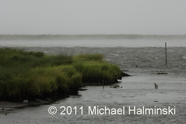
Smoke on the water as the shifted southwest wind picks up, blowing 50 to 60.

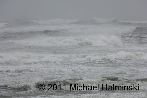
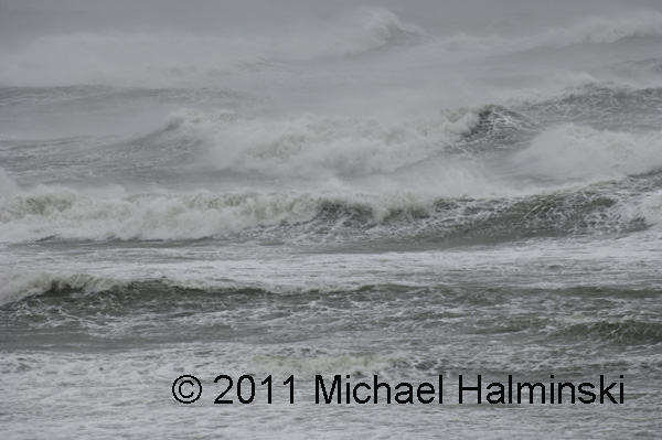
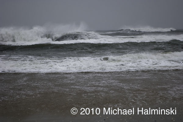
During a lull, I ventured to the beach for a shot at the ocean.

It was pure chaos, and I had trouble making it back to the house.

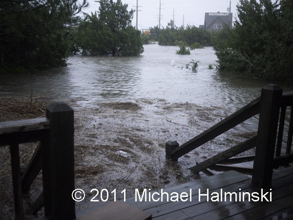
Good thing I wore my chest waders. 3 feet of water had already entered my yard, and I had 5 cats to rescue from the rising water. The barometer had dipped to 964 millibars and in the end dumped 6 feet of sound tide around my house. The water had risen to within a fraction of an inch from coming inside. We were extremely lucky.

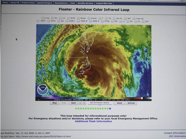
I took this screen shot of my computer, using a battery backup, right after the power went off.

The next morning after the storm, the yard was a mess with debris.

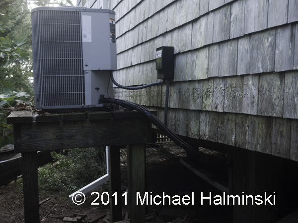
The tide had gone right up to my heat pumps, and then some.

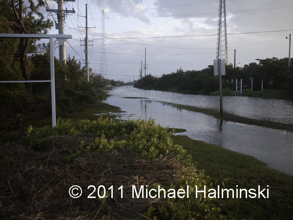
This is highway 12 in front of my house after the storm. It was eerily quiet, warm and damp. I would soon find out that many residents did not fare as well as I did. The road down the island had also been washed out.

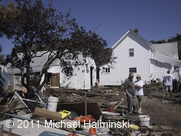
There were many homes damaged or lost.

And of course, the electricity was cut off.

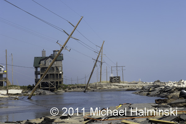
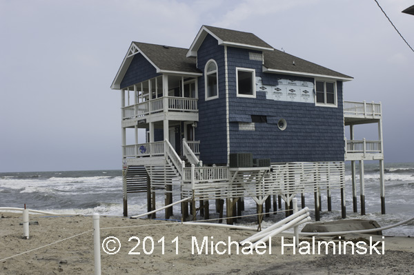
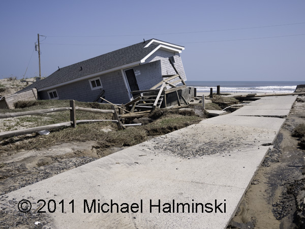
Also as a result, the cottage Tailwinds eventually fell into the sea.

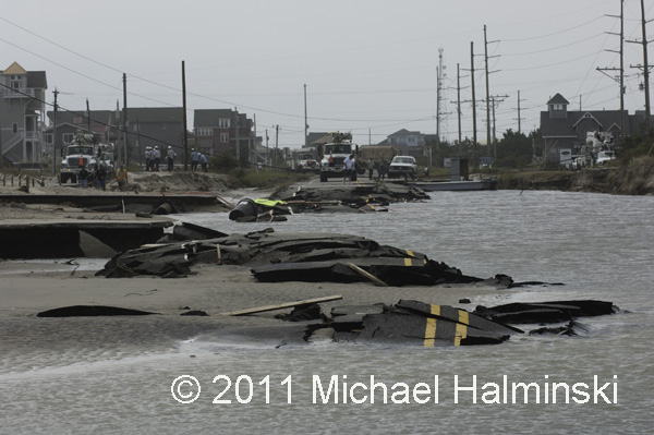
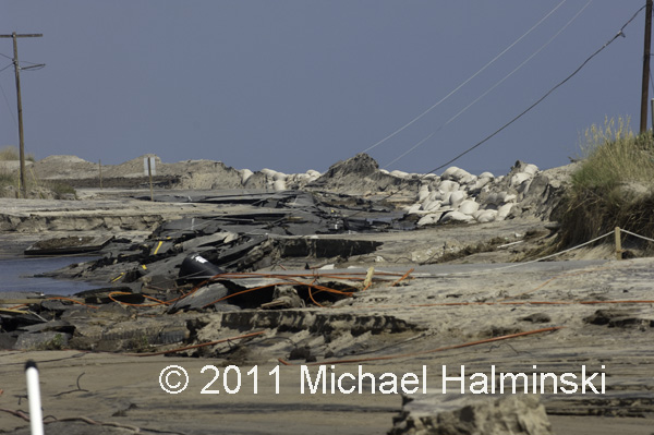
The road at Mirlo Beach was destroyed.

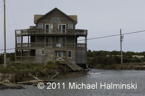
A leaner at Mirlo Beach.

Highway 12 at the S-Curve.

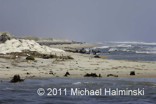
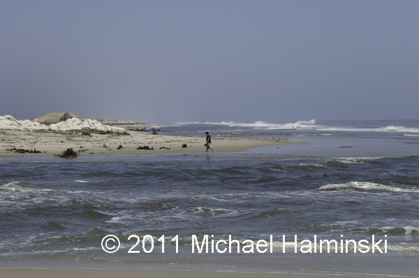
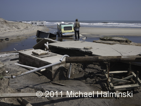
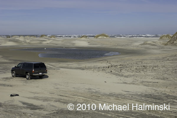
A new inlet had been cut at the S-Curve, exposing cypress stumps of a forest nearly a thousand years old.

The inlet is actually an outlet caused from the sound rushing into the sea.

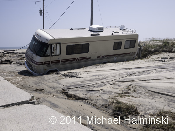
Another outlet was carved through North Beach Campground in Rodanthe.

A motor home at North Beach.

Gerald O’Neal surveys the mess at his family-run campground.

The campground’s general store was inundated with sound tide.

Lance Midgett’s house is over 100 years old. This is the first time a tide from Pamlico Sound has gone inside. His cleanup and rebuilding will take a long time.

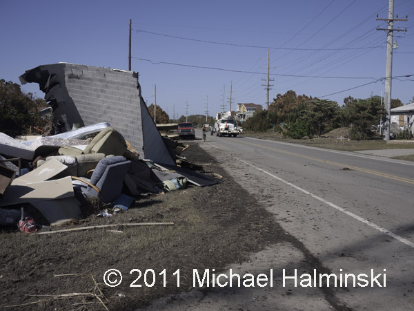
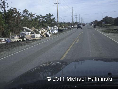
As residents take on the daunting effort of rebuilding, debris is piling up along highway 12.

Since the day after Irene left, the Salvation Army has been there to help those in need.

They are providing 3 hot meals every day,as well as lifting our spirits.

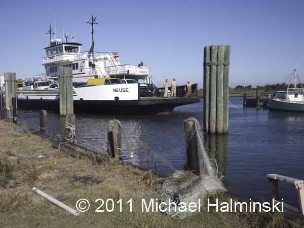
Now the ferry system is the only way on and off the island.

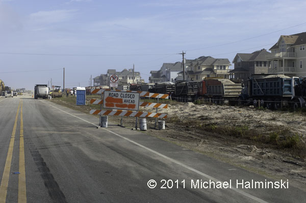
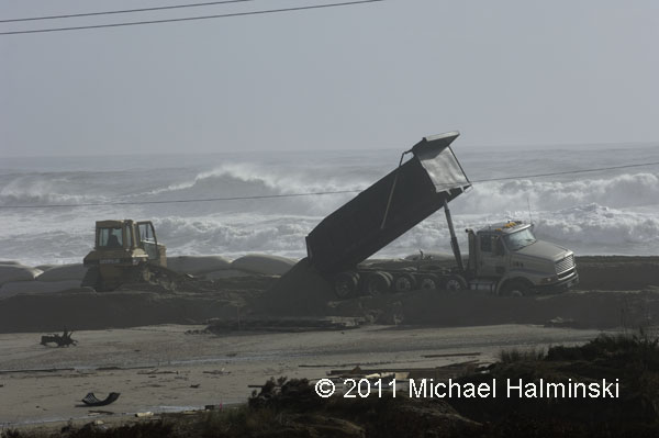
For days, trucks have been running around the clock to deliver sand from a borrow pit in Avon. NCDOT hopes to fill in the gap at S-Curve cut by the storm surge.

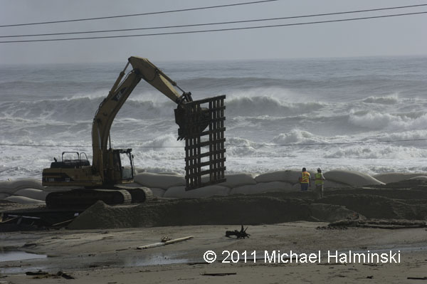
Pallets are moved into place to enable trucks to dump sand for a new roadway. In the meantime, huge swells from Hurricane Katia threaten the shoreline.

Do you think this is really going to work? This is a classic “man against nature” scenario.

Meanwhile the debris continues to pile up along highway 12. This is far from over.


Beach Rendezvous

About this time in 2004, the first tropical system of the season developed in the Atlantic off of northern Florida. As the depression moved northeast paralleling the coast, it was not expected to hit land. In fact, there was no call for an evacuation. As the storm moved erratically, just off the east coast, it was eventually upgraded to Tropical Storm Alex. Still there was no evacuation order.
Then about 75 miles off of Cape Fear, with deep convection building due to the warm Gulf Stream, the storm intensified as Hurricane Alex. Approaching the Outer Banks, Alex quickly developed into a category 2 hurricane with winds in excess of 100 miles an hour. By then it was too late for an evacuation. The center of circulation came within 10 miles of Cape Hatteras, with the western eye wall sweeping along Ocracoke Island.
As a result, there was considerable flooding and high winds on Ocracoke and southern Hatteras Island. Hundreds of vehicles, mostly tourist-owned, were destroyed by salt water intrusion. So visitors were stranded without transportation to get home. Hyde and Dare counties got caught looking on this one, and the damage could have been so much worse. Fortunately, Alex took a more eastward turn and did no further damage as it moved away, speeding off as a category 3 hurricane.

That was another close call.

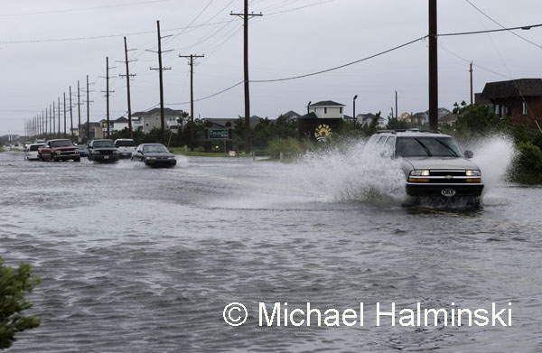
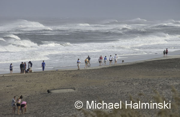
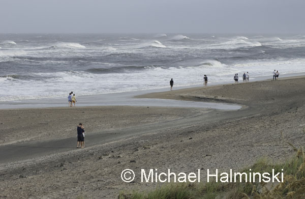
In my hometown of Waves, the rain and tide combined to choke our streets with water, a minor inconvenience. Winds never reached hurricane force either. I ventured out to the beach and saw an unusual sight of thrill seeking tourists riding out the storm. I’ve lived here a long time, and have never seen anything like it before or since.

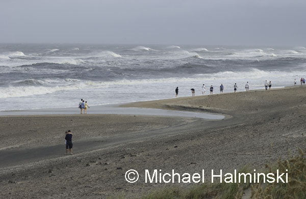
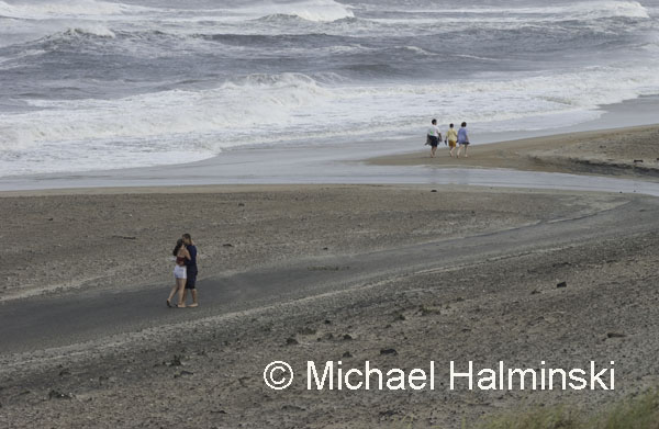
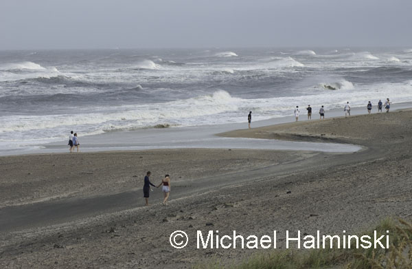
The scenery was an interesting juxtaposition, and I photographed from an elevated perch.

The waves were beautiful, and so were the people.

Everyone was having a good time.

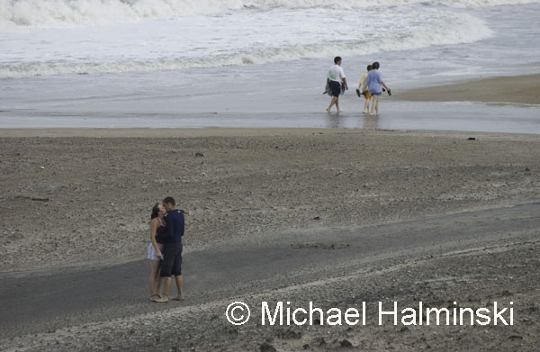
And then something special began to happen.

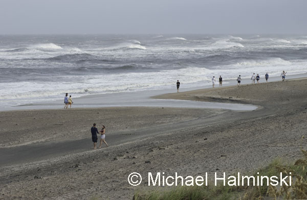
A young couple in front of me were caught in a moment of bliss.

And I could only watch through my camera. It happened so quickly.

If I didn’t know any better, I would swear he had just proposed.

Nevertheless, I suddenly felt that I had witnessed something very genuine.

As another couple strolled by, I continued to photograph. The overall scene had been intriguing, and not something that would typify my beachscape photography.

By late afternoon I was on the beach again, experiencing more of what Alex had left behind.

Other than Hurricane Earl missing us by 85 miles in 2010, Alex was about the last time there was any hurricane action around here. So far, so good.


Longnet Rigs

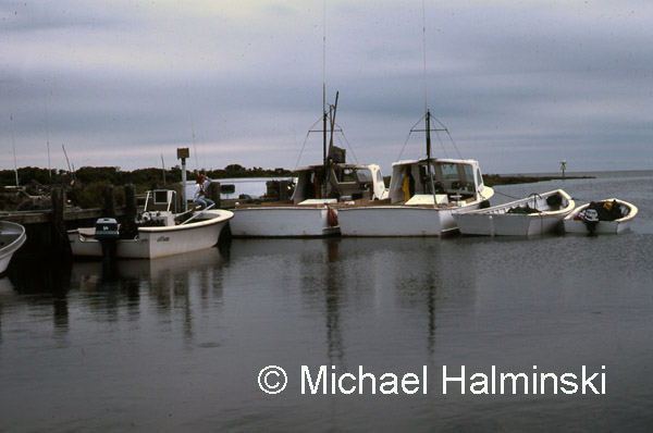
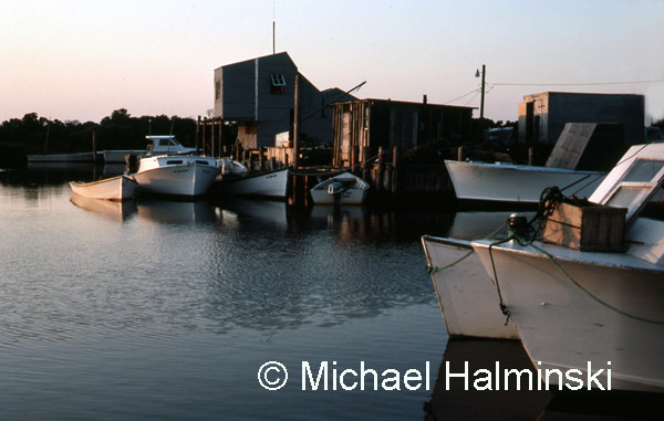
One of my most memorable impressions upon moving to Hatteras Island was to see locals earning their living as commercial fishermen. I had never seen anything like it before, and harvesting a bounty from the sea seemed a miracle. In the northern villages where I lived, the focal point of fishing activity was at the harbor in Rodanthe, known as “the creek”.

I used to hang out at the fish houses where the boats came in to pack out their daily catch. It amazed me to see them returning with hundreds of pounds of bluefish, trout, croakers and a myriad of other species.

When the longhaul rigs came in, they had catches in thousands of pounds. Longhauling, also referred to as longnetting, is a haul seine technique utilizing a huge length of net, sometimes a mile long. A longnet rig consists of three boats, two engine powered boats and a net skiff. At times, there would be four or five rigs working out of Rodanthe at the same time.

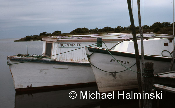
Two boats from a crew that came down from Colington, 1982.

Note the beautiful upward sheer line of the shad boat on the left, 1982.

Another rig from Colington, photographed in 1990.

Mac Midgett’s longnet rig at the creek, 1977.

View from atop Dale Midgett’s fish house, June 1982.

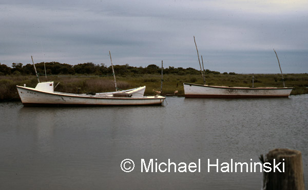
Sailing shad boats, converted to motor power, were preferred for their load carrying capabilities.

The Gray Boys rig from Avon, tied up at the fish house across the harbor, 1982.


The Mojon

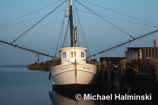
Harry Midgett was Irvin’s father. He was one of those locals that had the ocean in his blood. He was a commercial fisherman as long as I knew him. I remember him mostly through his boat called the Mojon.

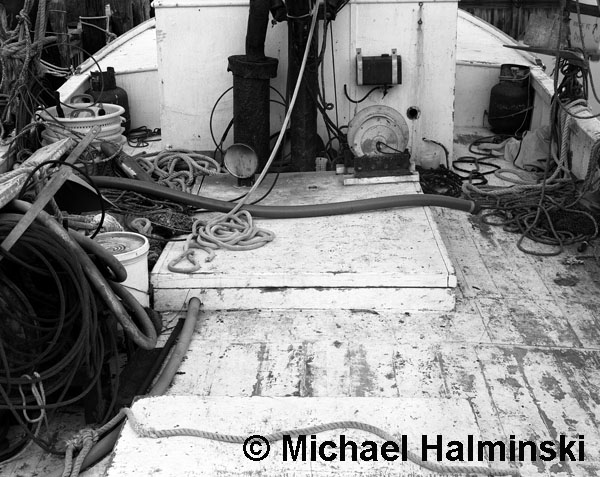
Mojon sat at the creek in Rodanthe for two or three years. If he wasn’t out fishing in the sound, he was working on that old wooden trawler. I was fascinated with the array of fishing gear, lines, outriggers and nets. To my eye, the equipment looked chaotic. But to the fisherman that used it, each piece had a function, and putting it in order could turn chaos into a livelihood.

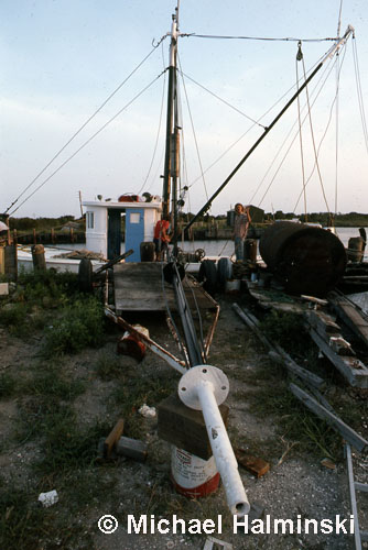
Irvin and Robin on Mojon at the Rodanthe Creek, 1977.

The deck of Mojon shot with my large format camera.

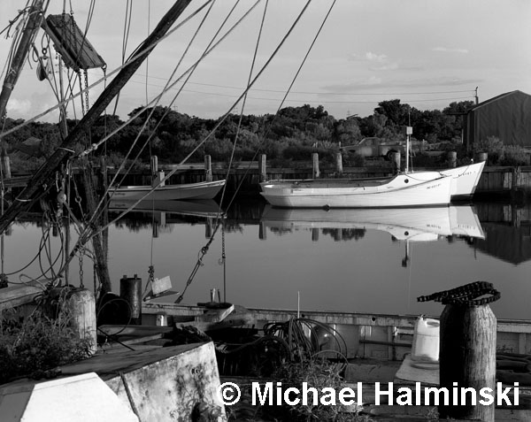
This shot was taken looking south, through the rigging of Mojon at the Rodanthe Creek. Collins and Belton Gray’s longhaul boats sit rafted across the harbor.

Harry Midgett in 1977.

Harry moved Mojon from Rodanthe to Ocracoke. He was down there shrimping. The boat was tied up at the Park Service docks. My recollection is that the dockage was free for two weeks at a time. At the end of that time, he’d untie her and depart for sea. Then he returned, and tied up for a couple more weeks. He and Mojon were quite a hit with tourists looking for some local color.

Harry eventually took Mojon into the Gulf of Mexico were he continued to fish until his passing 15 or so years ago.

Grand Finale for 2010

Even during a winter storm, Hatteras Island is a peaceful place to be during the holidays. Over the years, I’ve gone to visit my family in Virginia most of the time. But when I first moved to Rodanthe in 1973, I spent my first Christmas here, away from the family.

Back then there weren’t nearly as many residents as there are now, and the place seemed empty and desolate during the holidays. That Christmas morning 37 years ago, I remember sitting alone on the porch of Valton Midgett’s 2 bedroom rental cottage during a big winter storm. Over the dune tops, I could see huge ocean swells rolling in, and a fierce northwest wind blowing spray off the wave tops, into dark and ominous skies. That image is burned in my mind, and I took no photographs. It was a defining, blissful moment for me.

Although things have changed since then, this Christmas was similar. A lot of locals left to be with loved-ones, and highway 12 was virtually empty and silent. At no other time of year can this be experienced, although hurricane evacuations can come close.

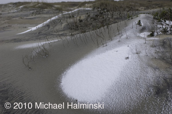
With this recent winter storm in the forecast, I was hoping to see a big snow event here. But all we had was less than a inch of rain, and a light dusting of snow, not enough to blanket the ground.

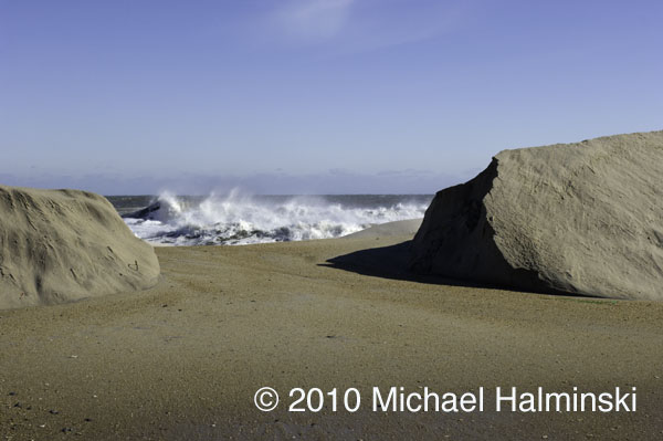
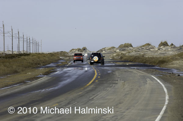
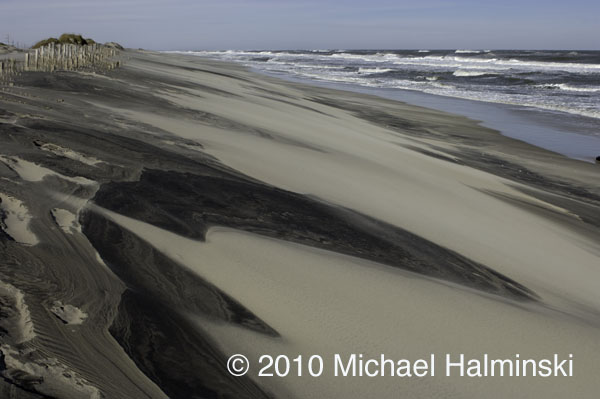
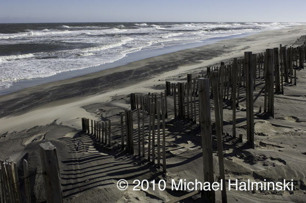
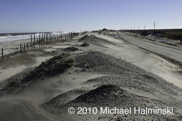
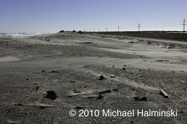
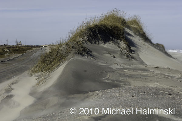
There were bitter winds coming off the Pamlico Sound. Tides were well above normal, enough to allow sea water to dribble across highway 12 at the S-Curve. With no beach there now, the “renourished” dune line built there by NCDOT is all but gone again. 

I took this photograph from my truck as I drove past the dune at the S-Curve on highway 12.

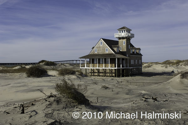
The old decommissioned Coast Guard Station at Oregon Inlet awaits its uncertain fate. It has been restored and stabilized by the State of North Carolina.

This is the site of a borrow pit at Oregon Inlet, where NCDOT has excavated sand to rebuild dune systems along highway 12.

Those that live here mark storms as a calendar. We associate our memories with certain storms in the past. Even though this one had minor impact for us, it was significant as all storms are.

Each one changes this dynamic barrier island in some way. The beaches and dunes shift about as a result of moving wind and water. The dunes and highway, like many man made artifacts here, are hanging by a thread. None of it is permanent.