Category Archives: Pamlico Sound

Hunting Guides I Knew

Life has had a funny way of taking me to unexpected experiences. Back in the 70’s I was drifting from one job to another. They were diverse and interesting. So when my landlady’s husband, Raymond, asked me to help out at Gull Island Gunning Club, I signed on.

Over the years, quite a few locals had worked at the lodge, and Raymond Midgett was one of them. The club was owned by Norfolk businessman Alex Kotarides and operated out of Salvo. The island is about 5 miles to the southeast in Pamlico Sound and is a unique spot on the edge of a reef that drops off into deeper water. It was and still is a haven for all kinds of waterfowl.

For $5.25 I bought a hunting guide’s license at Charles Williams Store in Avon and became an official waterfowl hunting guide. Up to that point, my only hunting experience was stalking birds on Pea Island with my camera.

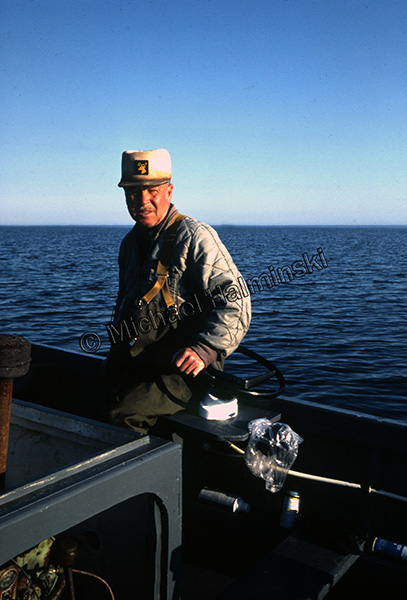
I had heard stories about the good old days of waterfowl hunting on Gull Island when Ed Hooper was the head guide. I never met Ed but knew his sons well. Burt Hooper was the eldest and took over guiding after his dad passed away. Burt’s next door neighbor was Raymond who helped with the chores of running the club. For about 5 years I learned the ropes from Burt and Raymond and developed a common bond with them.

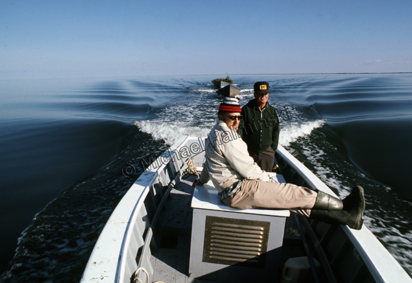
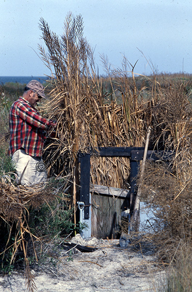
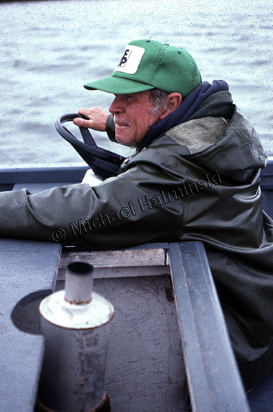
This beautiful day in 1977, I rode Falcon, a Willy Austin built boat, with Burt on the engine box and Raymond at the helm. We were on our way to Gull Island with two brush-laden skiffs to build some shore blinds on the island.

Burt Hooper showed me the art of concealment in blind construction.

I rode with Raymond to and from the island countless times. We performed maintenance and stockpiled supplies for hunting trips lasting 3 to 4 days.

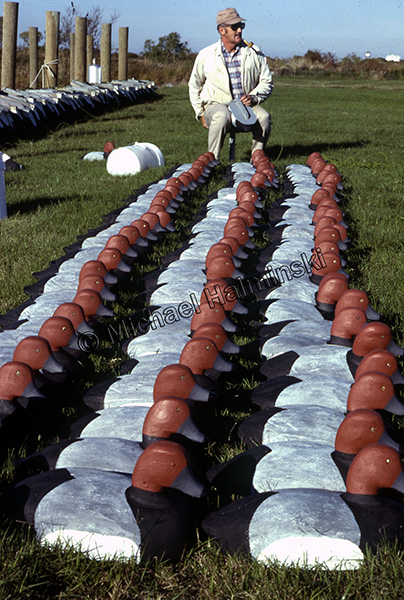
In 1979, Alex asked me to restore his decoys with new paint jobs. There were hundreds of them and it took me about 8 months to complete. The Herters decoys were made of balsa with pine heads. It was then that Burt showed me how to tie a bowline knot. There were two knots per decoy, one knot on the decoy end and another on the anchored end. After a few hundred decoys, I could do it without even looking.

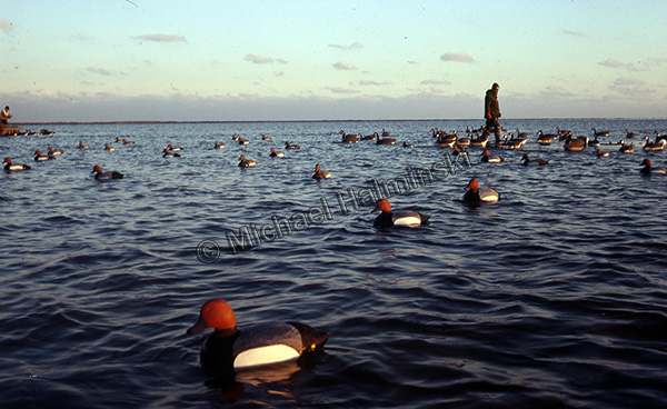
For me it was gratifying to watch waterfowl pitch in to my paint jobs, especially around the sink box blinds. It was an effective combination.

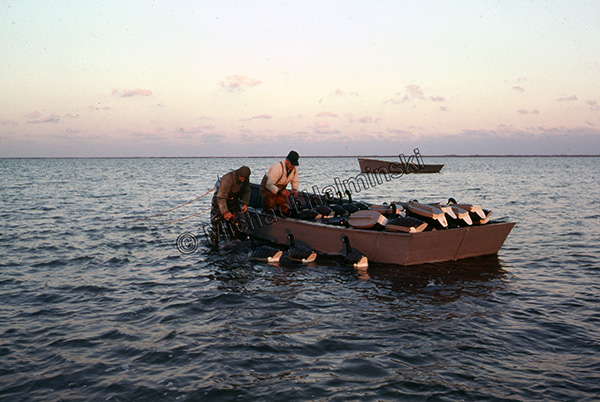
Picking up all the decoys after a day’s hunt was done in orderly fashion. It took a while, especially in adverse conditions. Here Mark McCracken hands canvas goose decoys to Burt stacking them in the skiff. Beyond is a 24-foot workboat called the Anytime. It was built in Avon by Willy Austin and featured an air-cooled 4-cylinder Wisconsin engine. It’s flat bottom had a tunnel astern to tuck the prop neatly underneath. It could run in a foot of water, and had a beautifully shaped sheer profile!

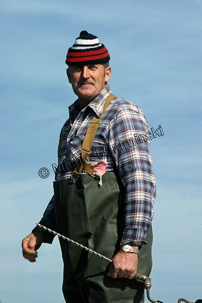
Cap’m Raymond, as I affectionately called him, was a consummate story teller and loved to play his electric guitar. He passed away in 1988 at the age of 69.

Burt Hooper was a pillar in the Salvo community and passed away this year on March 7. He was 85. Burt and Raymond both had a lasting effect on my life and helped steer me where I am today.


Bridging the Gap

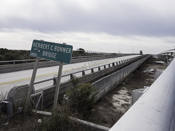
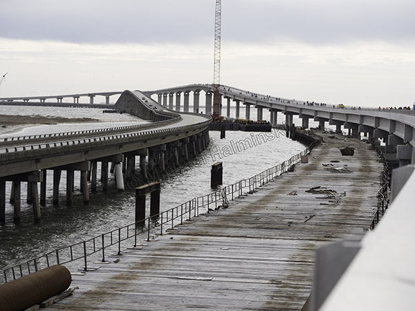
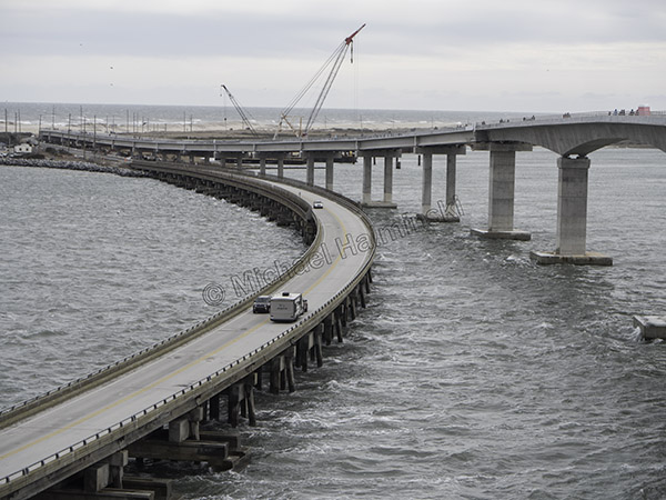
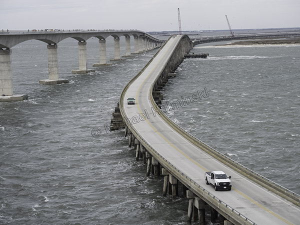
No matter how you look at it, the new bridge over Oregon Inlet is an engineering marvel. For the past few years, driving over the old Bonner Bridge, we witnessed the construction progress, going together like a humongous tinker toy.

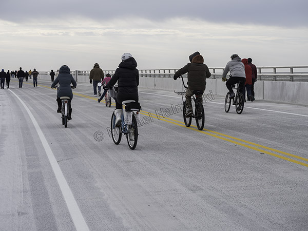
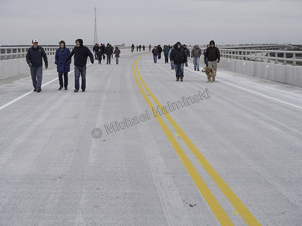
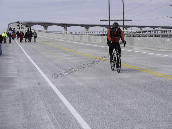
Last Saturday, NCDOT opened the new thoroughfare just for pedestrian and bike traffic. It happened to coincide with 40° weather and a northeaster, making it somewhat more challenging.

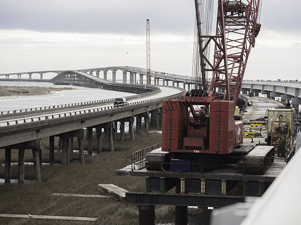
The Bonner Bridge is well past it’s life span, so it’s out with the old, in with the new.

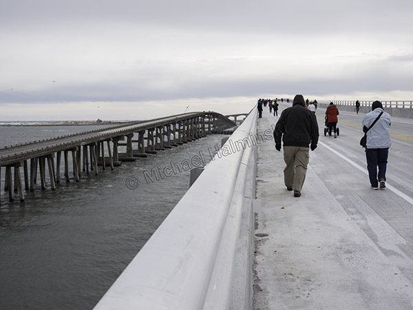
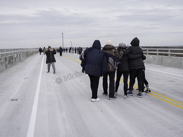
At 10:15 we began our walk on the north side, heading south, downwind. Dozens of folks had already begun the 2.8 mile trek.

With a 30 mile an hour breeze at their backs, bikers hardly even needed to peddle.
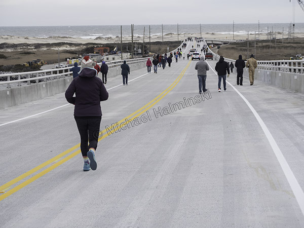
Everyone was bundled up.

Equipment was still in place.

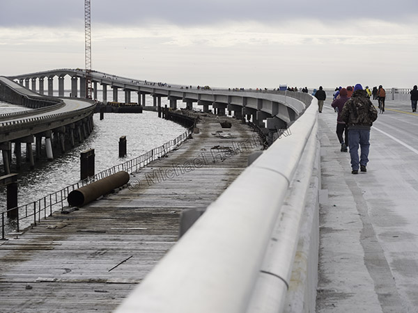
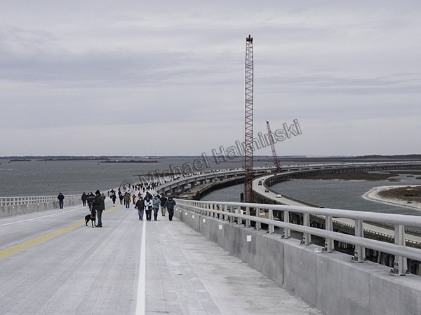
Following a curve, the new road rises to the peak about 90 feet above the water.

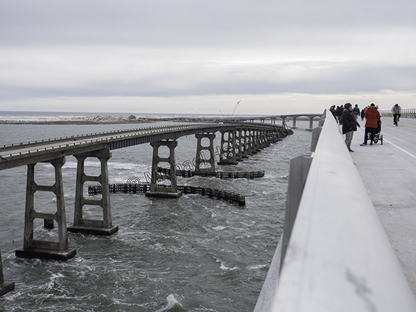
The high point of the old Bonner Bridge is about 70 feet.

Hitting the uphill grade, I felt the wind intensify as if the bridge created a Venturi effect.

Facing into the wind from the rise, I saw more approaching troops braving the elements.

On top the wind seemed to accelerate even more, as tide boiled through the inlet.

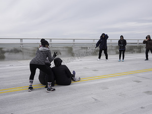
Photo ops were everywhere and everyone became photographers.

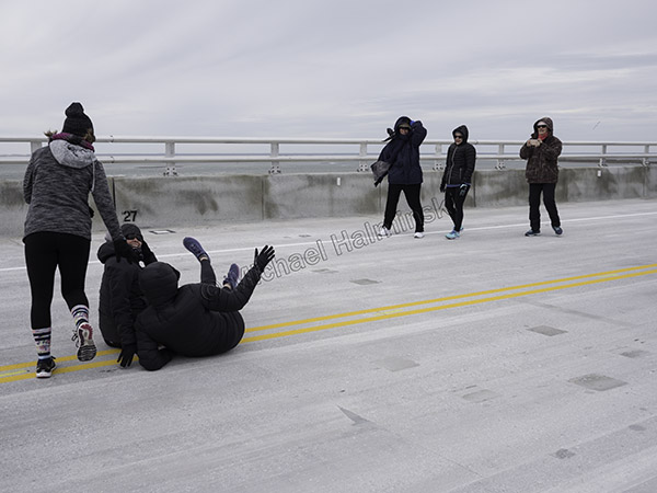
This crew got the shot and then in a gust…

… almost got blown away.

Three quarters into the walk, the south end of the new bridge converges back toward the old bridge landing.

Looking back I could see hundreds of people still underway.

A cyclist coasted to the end of his downhill run.

Welcome to Hatteras Island, home of Highway 12, probably the most expensive road to maintain in the entire state.


Two Storms One Tide

As Florence changed course and battered other portions of North Carolina, many here thought that we’d escaped its power. In the meantime, torrential rain flooded inland rivers that would eventually feed into the sounds along the coast.

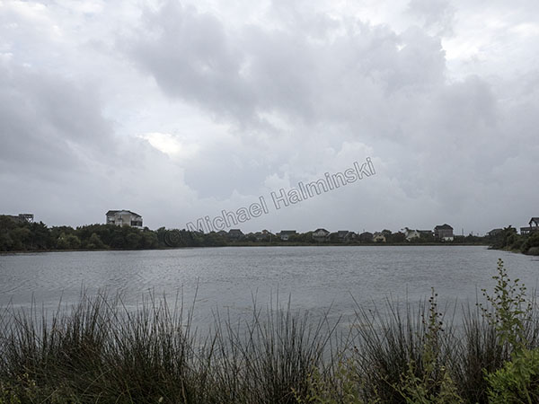
For the three weeks after Florence, I noticed a salinity drop and a higher tide level in Pamlico Sound behind my house. In fact it was 2 feet higher than normal, and stayed that way as Hurricane Michael steamed into the gulf coast of Florida.

When Michael’s path steered more to the west with winds of about 50, our prospects were looking better, although I recalled other storms taking a similar course, pushing the sound waters eastward. I expected tide so prepared for some rise. By eight o’clock on the night of the 11th the wind began shifting southwest and picking up. My barometer read 990 millibars and then the water began coming in. It rose until after midnight, and was 3 feet deep in the yard. Then as fast as it came up, it receded by early morning.

My house has another water line notch on it.

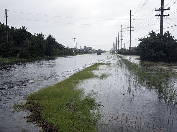
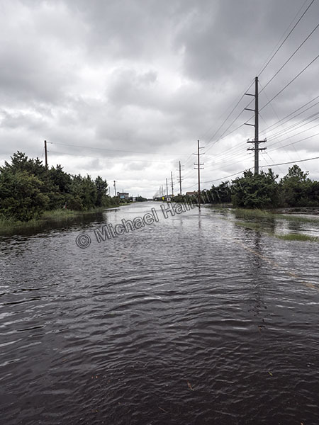
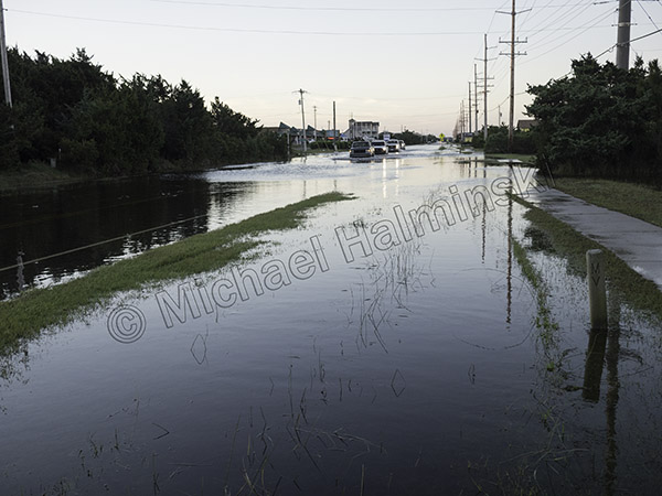
By sunup most of the water had drained off, but Route 12 still had issues with standing water.

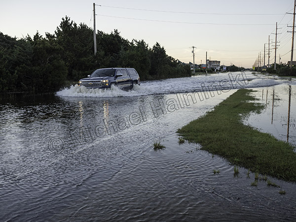
Driving through it is hazardous to your vehicle’s health.

Driving through the tide is even worse when you navigate on the deeper side of the road at a higher rate of speed. That was a nice new truck!

The stories of stranded and flooded vehicles were numerous. To compound matters there was no evacuation order. The campgrounds were a mess. Flotsam and jetsam were everywhere within the water’s reach.

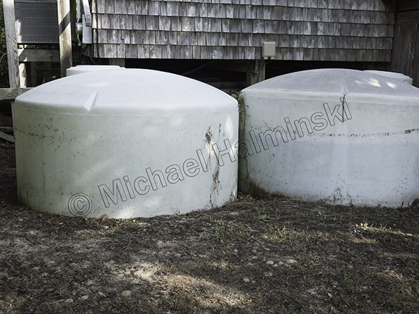
Cisterns next to my house have waterlines to show the flood depth. Being filled with fresh water, they tend to float as the more dense seawater gets deeper. The tank on the right was only three quarters full and came up a foot off the ground.

By my count, this was the 4th highest tide that I’ve seen here in 45 years. It was 32 inches below Irene, our highest with a ten foot storm surge. Right in between at 16 inches below Irene, there’s Arthur 2014 and the March storm of 93.

I’m always amazed at the resiliency of the salt marsh, particularly after a flood.

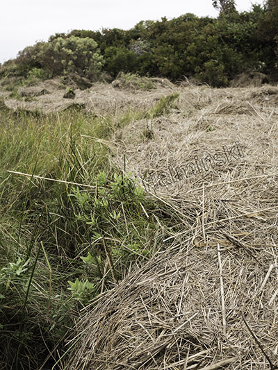
A rack line of debris shows forces at work. In six months it will be completely decomposed with tall thriving marsh grasses in its place.

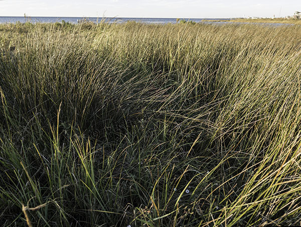
The wetland looks healthier for it and flourishes come drought or high water. This section is composed of mostly black needle rush, sometimes called juncus grass. In adverse conditions it provides great shoreline protection for my property. It’s also a desirable habitat for clapper rails and seaside sparrows.

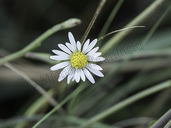
About the size of a dime, the marsh aster is still beautiful after being inundated with wind, waves and sea water.

The Big Freeze

The 2018 new year came in with a cyclone. It had been nice and peaceful with the holiday season coming to a close, and everyone began bracing for a well-forecast storm.

On the evening of the 2nd it started with about 2 inches of rain, then turned to snow by 4 in the morning. By that time the barometer had plunged to 976 millibars. I don’t think I had seen that since hurricane Emily grazed by in 1993. Gusts were measured in the mid-70’s from the northwest. My house shook. We were in the middle of one of our rare blizzards. Temperatures dropped into the low 20’s then high teens at night.

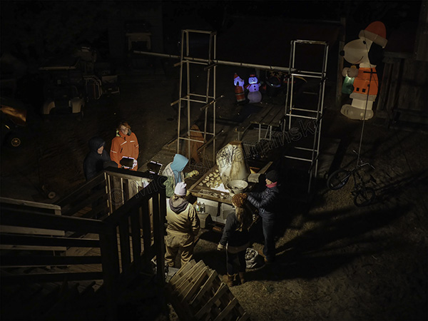
The warm up before the storm came at Eric and Val Stump’s New Years Eve party. A few snowflakes dropped as did the temperature.

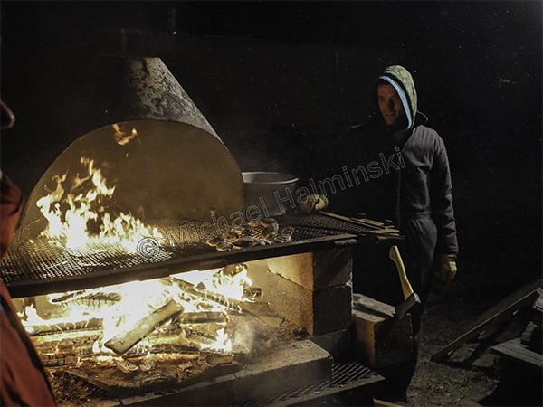
Eric did a great job roasting some crab slough oysters.

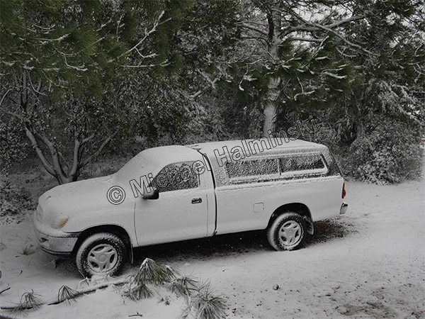
Then on the morning of the 3rd, I saw my truck sprayed with icy snow.

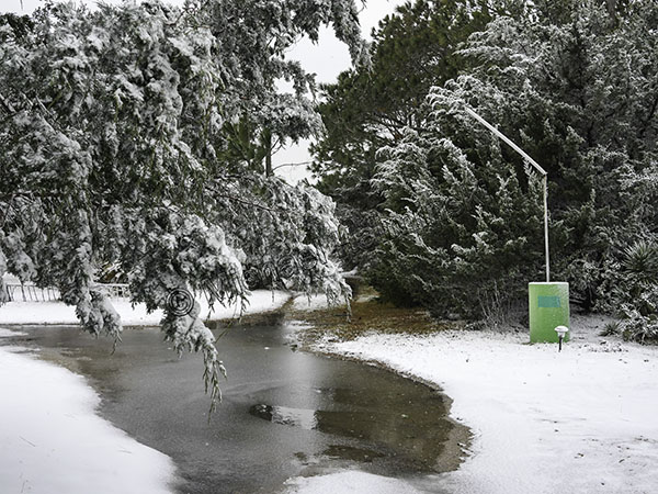
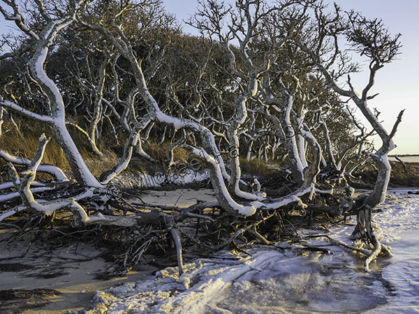
The yard became a frozen winter wonderland.

My business banner had been blown away and it’s mast bent.

After snowing 3 inches, it was 25° and blowing a gale.

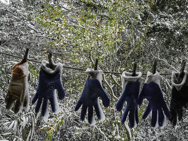
Oyster gloves were frozen to the clothes line.

My bathroom window had some interesting ice patterns on it.

Bundled up for the coldest conditions, I explored the Salvo Day Use Area.

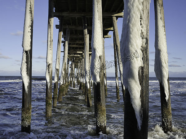
The Rodanthe Pier pilings were plastered on the northwest sides.

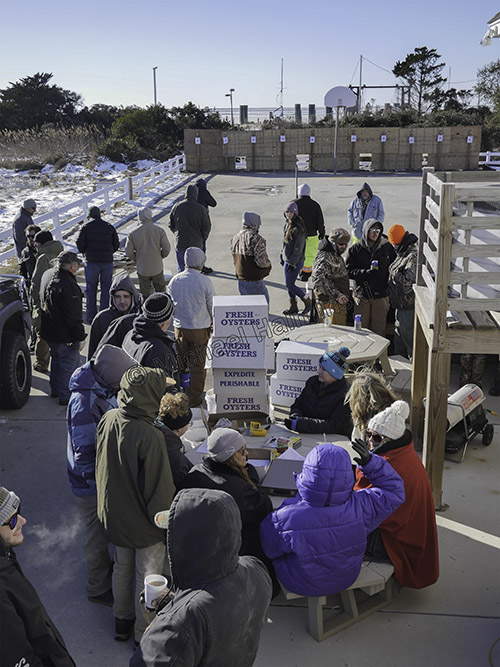
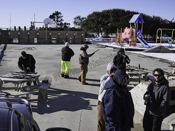
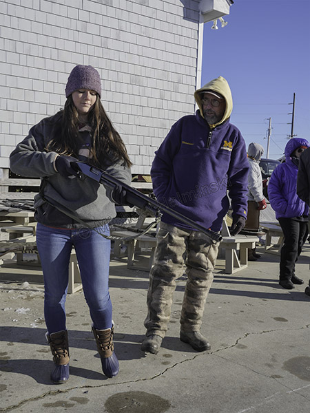
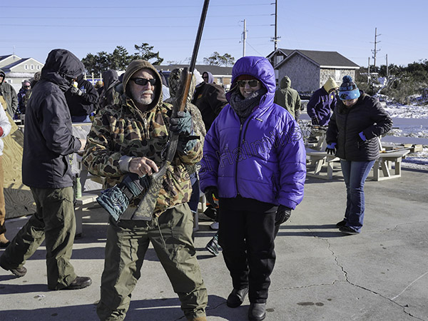
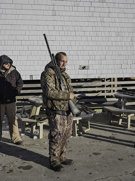
Meanwhile the oyster shoot for Old Christmas had begun. It was low 20’s with a stiff northerly wind.

Everyone was gathering on the lee side of the Community Building, unless they were shooting.

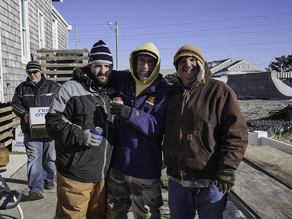
A festive reunion for family and friends, Joey Jr. (left) celebrates with Tom Wiley and Joey O’Neal Sr.

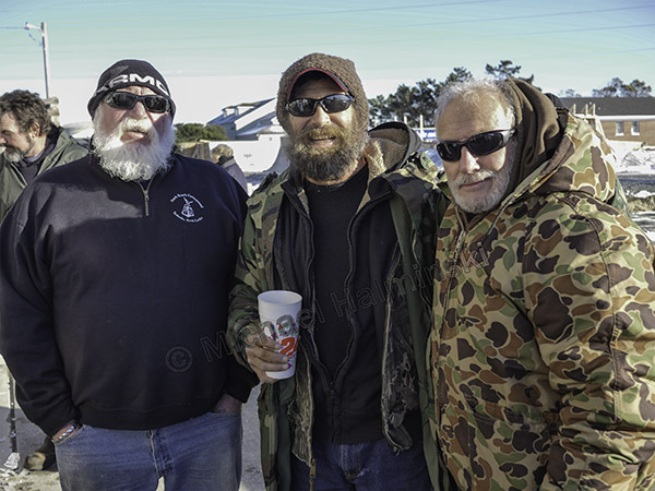
I couldn’t resist shooting my long-time friends Brent Midgett, Willy Smith, and Larry Midgett.

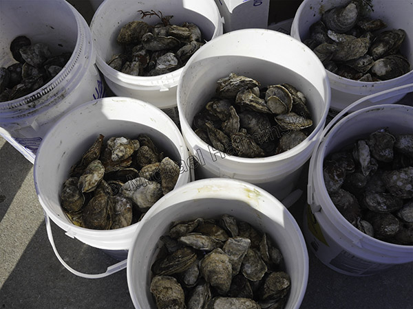
To the victor of the oyster shoot go the spoils. Better eat ’em quick before they freeze.

Emily prepares to shoot as her dad Tom Wiley looks on. As is a proud family tradition here, she serves in the U.S. Coast Guard.

Larry Midgett was helping his daughter Tanya, get ready for her turn to shoot. Tanya is also following in the U.S. Coast Guard tradition, and currently stationed at Hatteras Inlet.

There was always someone waiting to shoot.

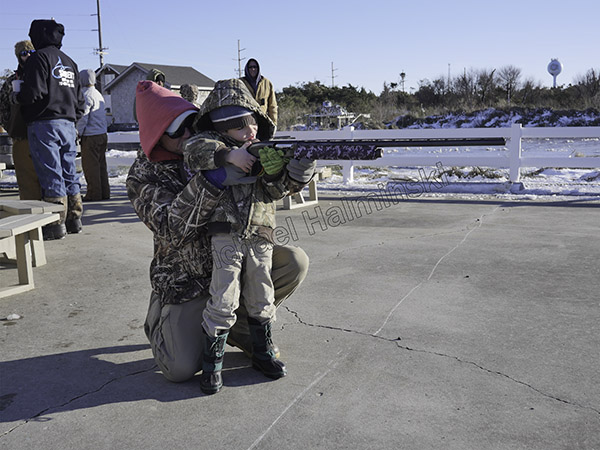
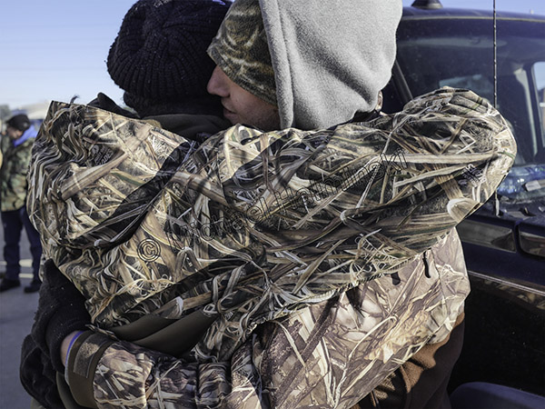
Even the young ones got in on the act. Camouflage was everywhere.

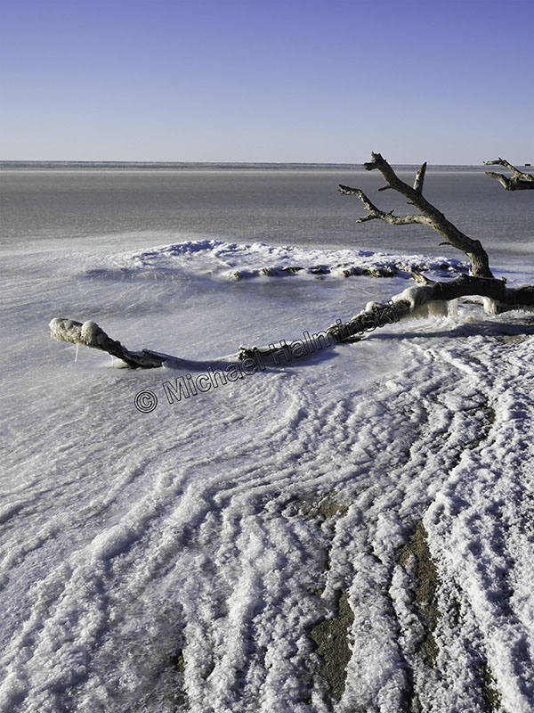
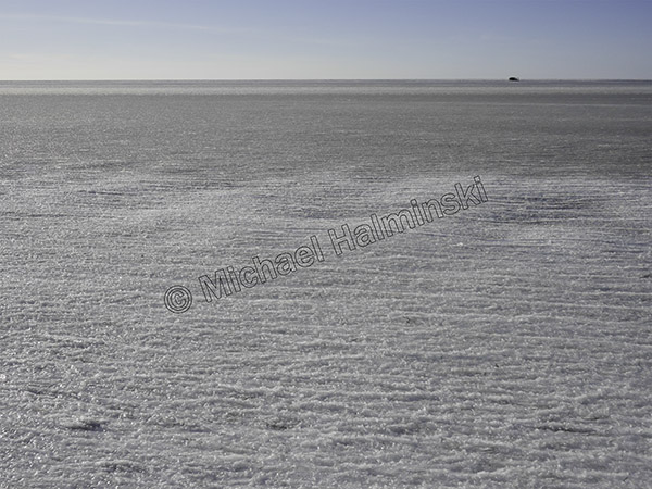
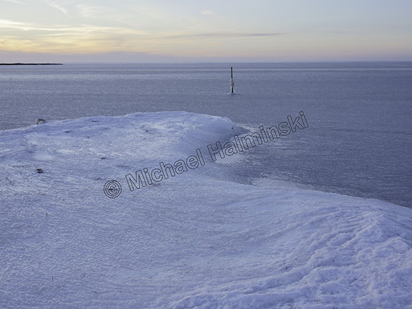
The next day frigid temperatures continued. It was 17° at night, and the sound froze out even further, as far as I could see.

From a second story deck, I couldn’t see any open water, only a duck blind on the horizon.

Behind my house the sound was solid. I heard some kids in Salvo rode their bikes on it.

Jon Brown and I marveled at the spectacle. It happens, but not often.


Catch of the Day

This time of year, as chilly weather sets in, my mind always wanders to a pastime I’ve enjoyed for decades. That is the craving for and the collection of oysters. In my  opinion, the Pamlico Sound produces the best tasting oysters found just about anywhere.

Commercially they are harvested either by using a dredge or tongs. Since I’m a recreational user, I hand pick mine from the inshore shallows.

At times I’d collect and carry them in a burlap bag. Other times I’d shuck to a container as I collected, leaving the shells where I found them. When I bought a kayak, my method of “fishing” became paddling and collecting. It was much easier and I still return the spent shells back from where they came.

My 12 foot kayak can haul a bushel or so.

The other day I found a half bushel of nice ones. At 6 and 8 inches long, the two biggest ones on top are genetically strong. My catch and release philosophy is to plant them in my oyster garden for spawning next Summer.

The 8 inch oyster was impressive and I found it stuck in a muddy creek bottom with the top 2 inches sticking out.

I shucked this fat one for an old friend.

Ready to satisfy, these are beauties. The one on the right has a resident pea crab. They live as a parasite in the shell with the oyster yet are considered a local delicacy. The colder the water gets, the better the quality and flavor!

Have a Merry Christmas.