Category Archives: storms

Larry

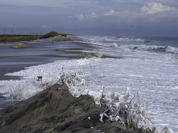
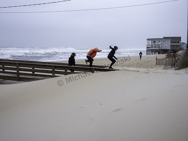
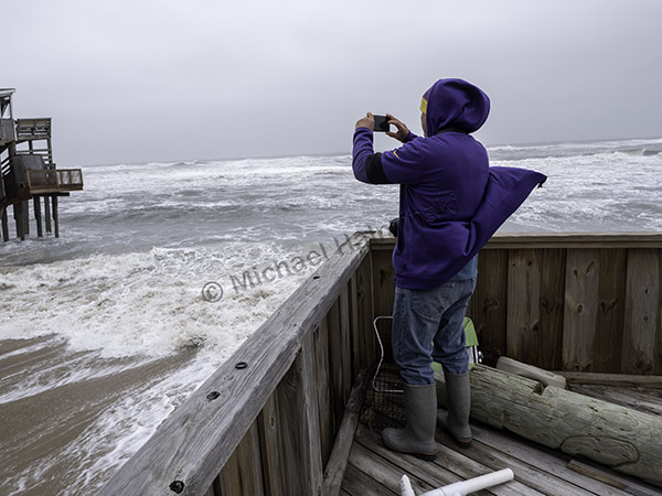
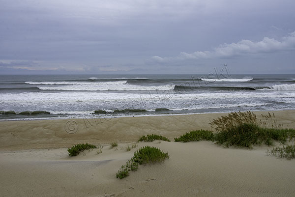
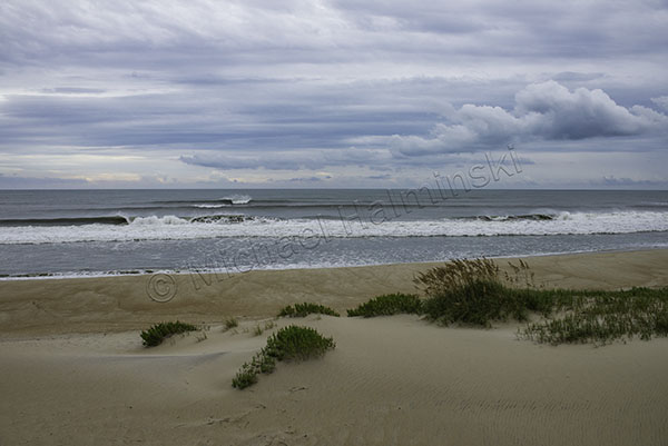
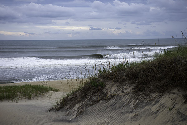
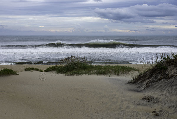
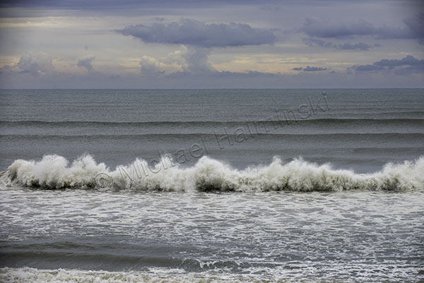
There are 3 kinds of hurricanes, good, bad and somewhere in between. The good ones stay far offshore as did Hurricane Larry most recently. As a beachcomber, I have always loved watching the power and beauty of waves. That fascination has been a constant subject for my photography since beginning life on Hatteras nearly 50 years ago.

Traveling from several hundred miles away, Larry’s waves arrived as a south swell, with a hefty current sweeping northward. Most of the surfers left the island for points north where conditions were smaller and more approachable.

I hadn’t worked a beachscape in a few years, and felt I was in the company of an old friend. It was just me, my camera and Larry’s pulse.

The outside bars were breaking nicely.

The inside bars were hard and hollow.

I was entertained by an occasional wave rolling back into an oncoming one.

Larry put on a show and was good to stay well off the coast.

Over and Over

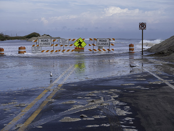
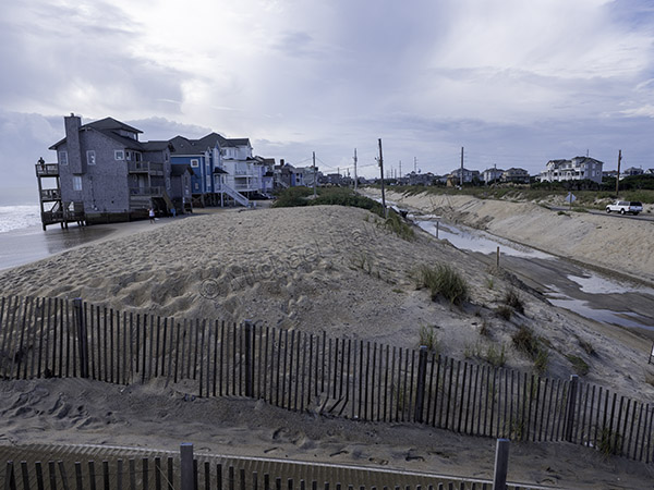
The storm that recently shut down highway 12 reminded me of the fragility of the place where I’ve lived most my life. The road was closed about 4 days until highway crews could clear  accummulated sand, allowing traffic to once again, exit or enter the island. Many do this cautiously, maneuvering through corrosive sea water. I’ve been watching and photographing this for years, over and over again.

When I first settled on Hatteras Island in the early 70’s, it seemed idyllic. I loved combing the beaches and riding the waves. Gradually I began noticing the dynamic nature of a barrier island. I saw how wind and water combine to move sand, sometimes lots of it.
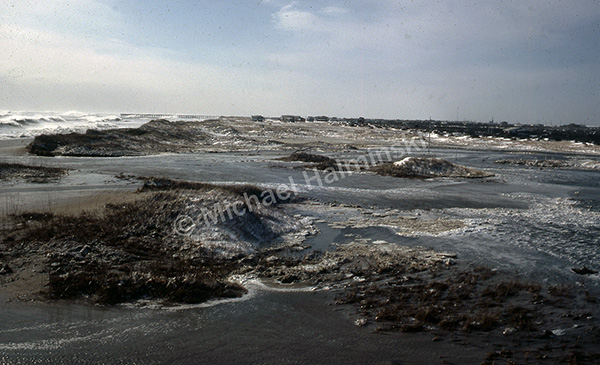
The blizzard of March 1980 brought a hundred mile an hour northeaster exploding with a foot of snow. My Rodanthe house at the time, was surrounded by sea water barreling through the dunes and raging down highway 12. Even to this day, I’ve never seen anything quite like it.

Later I was to experience more storms significantly impacting the island. A good example is just north of Rodanthe where the main road takes a few bends. That’s where the pavement has been moved a number of times due to encroaching seas. A vegetated dune line helped protect the area, but not for long.
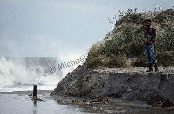
In 1984 Hurricane Josephine completely removed the dune line at the S-Turn. My surfing buddy Robin Gerald and I were in awe of nature’s power.
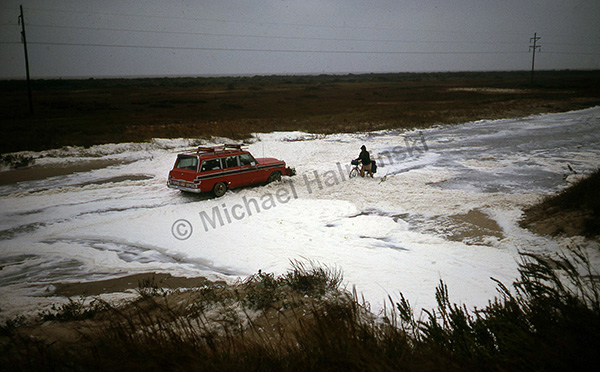
The road there began closing more and more often.
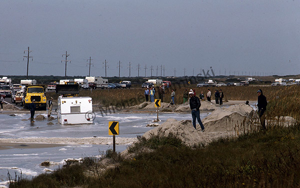
One vehicle after another became trapped in slurries of sand and sea water.
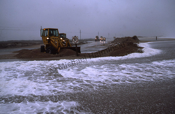
North Carolina Department of Transportation has tried in vain to keep traveling corridors open even in the harshest conditions.
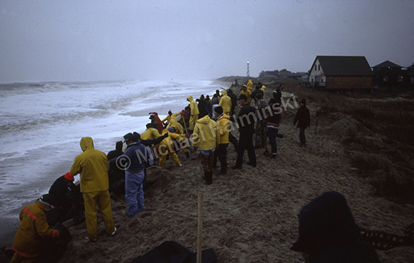
A storm in March of 1989 created a breach at the north end of Buxton as volunteers worked desperately to force the ocean back with sand bags. It didn’t work well for long.
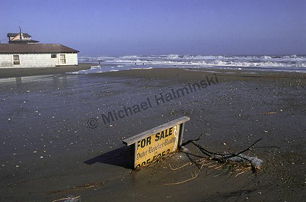
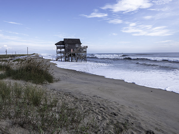
The Halloween Storm of 1991 was another hallmark. This lot in Rodanthe was as oceanfront as property can get. Any takers?
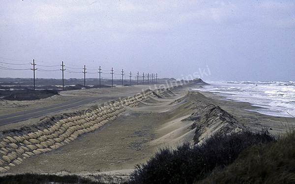
Spring of 1992 brought more woes for highway 12 on Pea Island and sandbagging was once again implemented as a short term solution.
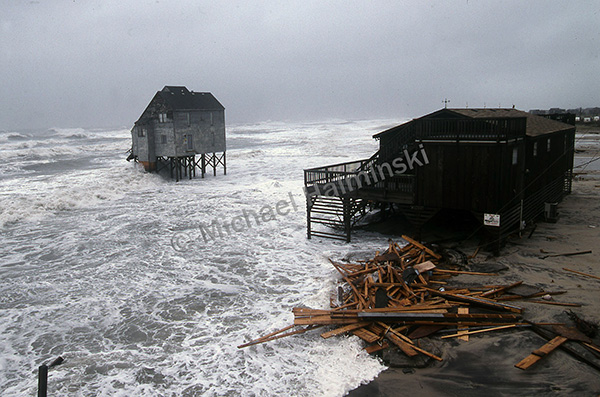
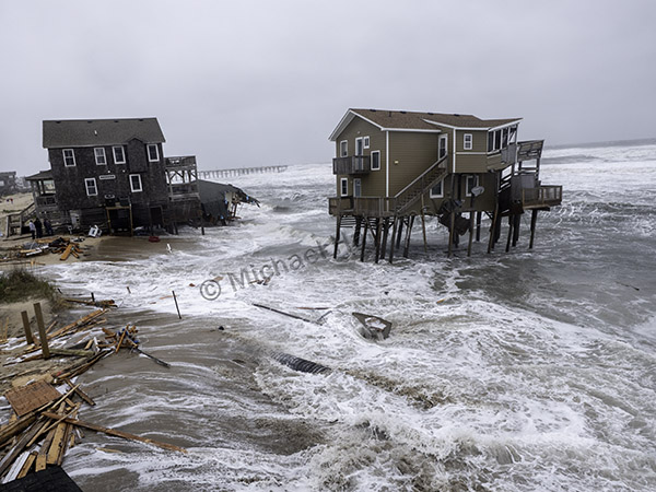
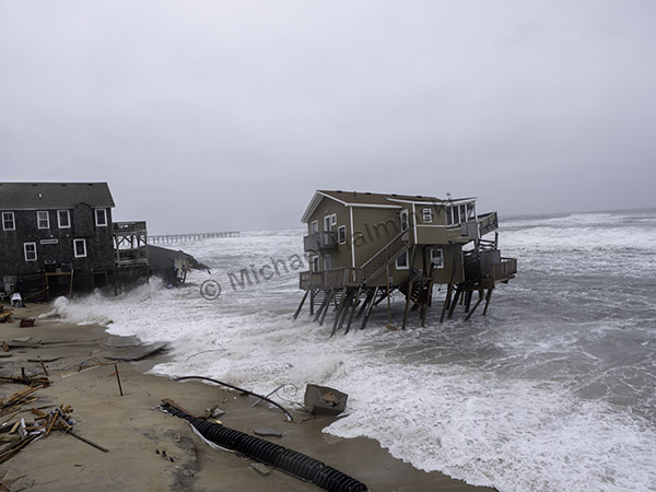
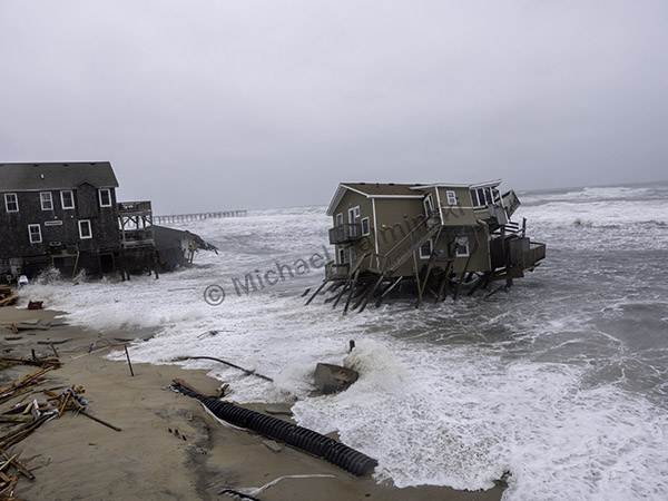
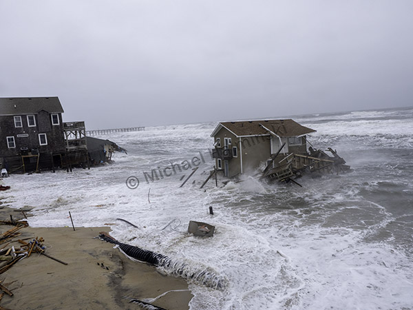
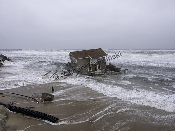
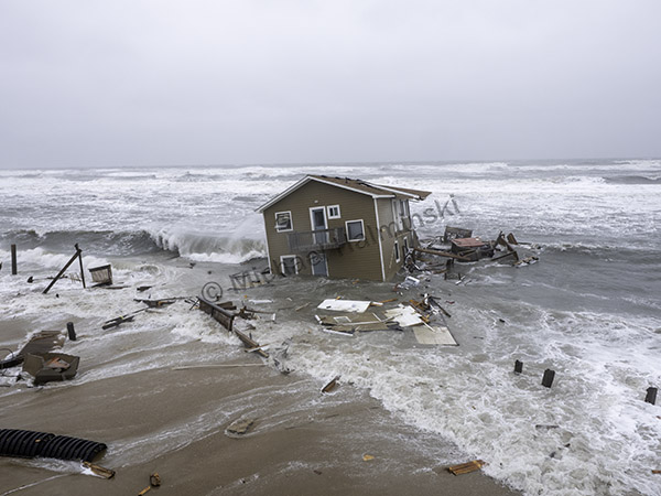
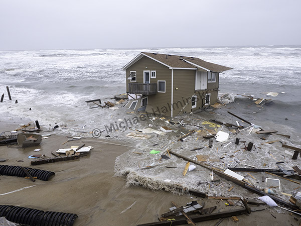
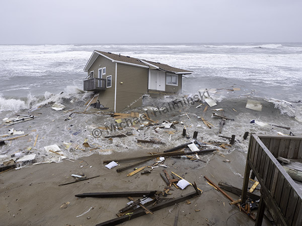
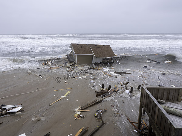
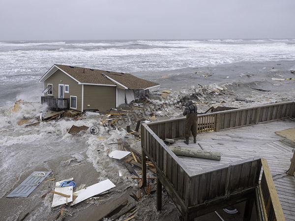
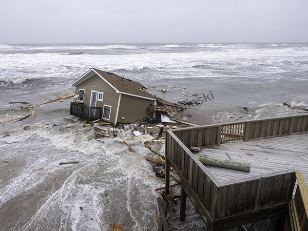
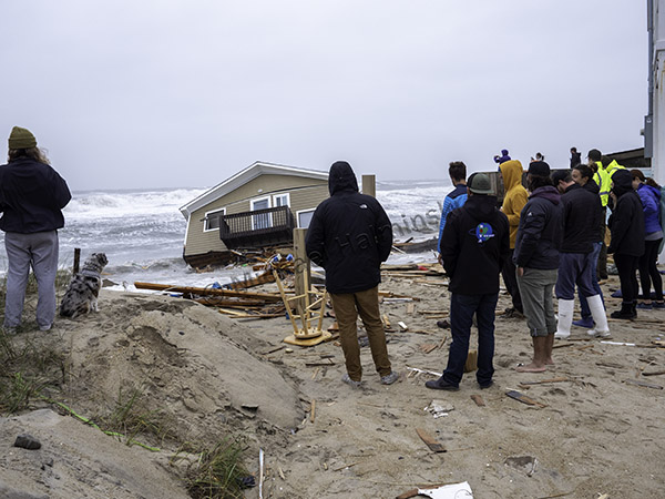
1999 was a banner year for destructive storms as Hurricane Dennis spun offshore for several days, resulting in a number of demolished homes on the oceanfront. Over the years, I’ve seen dozens of them succumb to the sea.
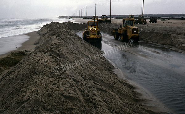
At the same time, a long stretch of road north of Buxton was completely taken out, pavement and all.
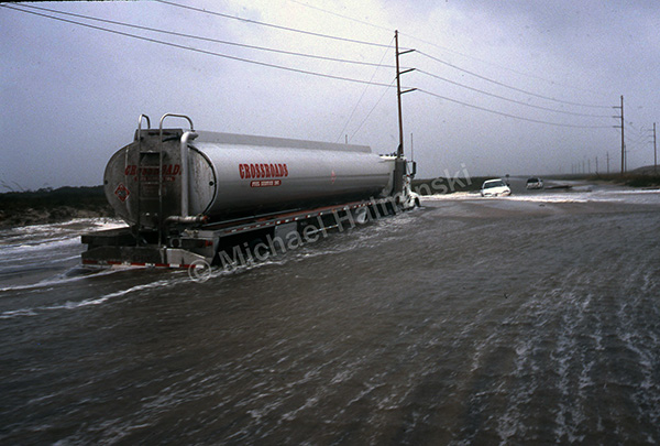
Dennis racked up additional casualties at the S-Turn.

Since that time, I’ve seen average water levels in the Pamlico Sound behind my home increase from knee deep then, to waist deep today. That doesn’t bode well for attempts at controlling future onslaughts to the island.

Today the Rodanthe skyline consists of huge cranes building a multimillion dollar remedy to a problem that never seems to end.

Man is not master of this domain, but is more like a slave to it.
 

The Live Oak of Springer’s Point

Most of my visits to Ocracoke include a walk through the maritime forest at Springer’s Point. My favorite tree there is a large live oak near the shore of Pamlico Sound. It’s been said that tree was there when Blackbeard bivouacked nearby at Teach’s Hole over 300 years ago.

During Summer months the forest is lush and green. Under the canopy one feels sheltered, safe and protected. This is how it looked when I photographed it in 2004.

The old live oak is large enough to take 3 or 4 people putting their arms around the trunk.

The big tree was tucked well back into the forest along a nature trail near Pamlico Sound. The North Carolina Coastal Land Trust purchased the 31 acre property in 2002 to preserve and maintain it for the public to enjoy.

I photographed it again in December of 2007.

The following Spring of 2008, I saw it bursting with new foliage.

One year ago in March of 2019, I shot the tree again from the same general perspective.

When I returned two weeks ago, Hurricane Dorian was 6 months gone. The environment on Ocracoke was transformed from what I had known in the past. The oak that I admired for years was ravaged by wind and sea.

Cedar trees along the edge were torn out by the roots, eroding into the forest.

The oak tree was still rooted, leaning over into the woods.

It seemed the only thing holding it upright was the big limb supporting the old giant, like a kickstand. Now that it’s vegetated buffer is gone, I wonder how many more years it can survive.

The barrier islands are a frail yet tough place. It changes here every day, some days more than others.


Dorian

It’s hard to describe the feeling of having a hurricane, one of the most powerful forces in nature, spinning your way. Being affected numerous times, I can say that it doesn’t get any easier, and my sense of time becomes warped.  It’s nerve wracking, physically exhausting and roulette all rolled into one. Preparation is essential, and I often wonder how the old timers did it before advanced meteorological science. With Dorian we had a few days notice to secure property, evacuate or hunker down.

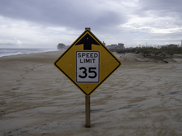
The beach that would normally be enjoyed by throngs of visitors was nearly empty after the evacuation order.

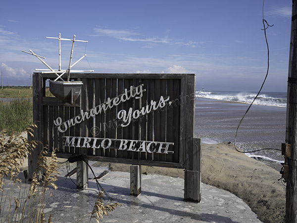
You’d be hard pressed to find a more idyllic tropical shore, yet two days later, Dorian would be passing through.

After I took my gallery sign down, the streets became deserted and rendered a surreal feeling.

Those choosing to ride it out use every spot of high ground in an effort to save their vehicles. Elevated parking spaces are limited and highly sought.

Six years ago we adopted two stray cats, and they had already been through three hurricanes. Now this one. We set them up in my gallery where a number of other items had to be stowed.

I made one last pass around town contemplating the event that was bearing down on us.

Early Friday morning, Dorian made landfall on Hatteras and before the power went out I made a screen shot of the eye over Cape Point. My barometer, some twenty miles north of the eye wall, dipped to 966 millibars. It was a relief for us, but not for those on Ocracoke and the southern villages of Hatteras Island.

After Dorian hit the point and sped offshore, the wind shifted from the northwest and blew the hardest with gusts of about 85 miles an hour. The tide rose from Pamlico Sound and resulted in a foot or two of seawater on the main road.

My house withstood another onslaught and I could hardly wait to remove the plywood from the windows.

As the water subsided, I realized we had escaped the wrath of Dorian, but those on Ocracoke and lower Hatteras Island will be picking up the pieces for quite a while.

Beach Walker

Charley was a minimal hurricane that went up the Pamlico Sound in August of 1986. Hatteras Island was evacuated and the sound tide rose to a moderately high level. It wasn’t devastating at all. But like many storms it gave me an opportunity to shoot a series of photographs, hoping to get at least one that might be memorable for me.

As Charley passed, I hit the Rodanthe oceanfront to encounter a strolling beachcomber. He didn’t notice me and I waited for a good set of waves to record a moment in passing.