Category Archives: Sea

Mexico Connections (part 6 of 7)

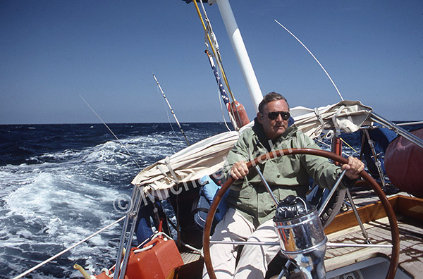
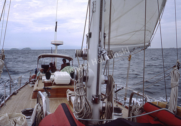
After a day provisioning and refueling, we left Puerto Madero the evening of May 19. With dozens of fishing boats offshore, we were vigilant . The Gulf of Tehuantepec, known for unexpected gales or Tehuano, lay ahead. At night the open ocean seemed mysterious, while we motor sailed into into a 20 knot breeze with choppy seas.

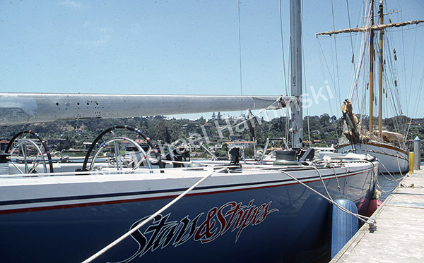
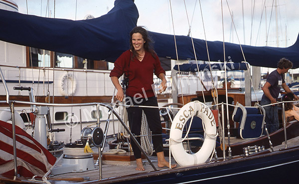
Transiting Tehuantepec, where some Pacific hurricanes originate, went without a hitch. Three days later we docked at Acapulco Yacht Club for more supplies, fuel and fun. The crew of Escapade joined us again for a night out celebrating a birthday for Lee, their cook.

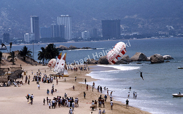
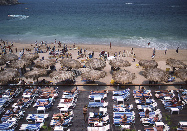
Next day we explored Acapulco. High-rise hotels lined the ocean-front, while just a few blocks inland was utter poverty.

After two days we set out for Cabo San Lucas, about 4 days away.

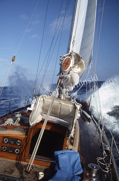
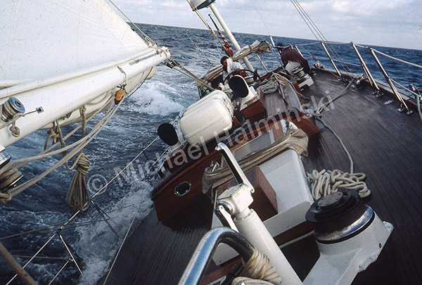
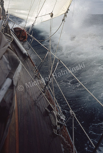
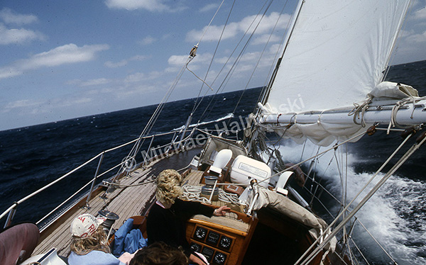
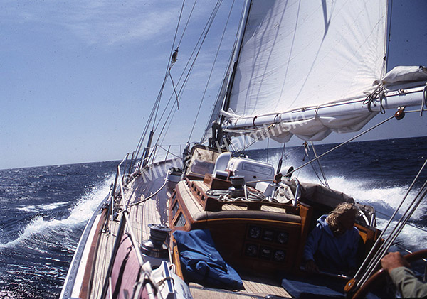
Seas were calm at first, with a 6 knot breeze on the nose. Two days later it’s 24 knots head on, uncomfortable and wet. We began tacking with Cabo 200 miles off.

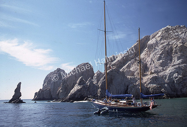
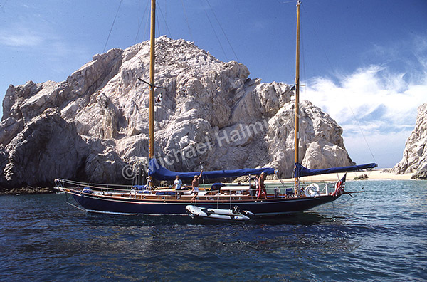
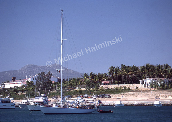
The morning of June 1 we anchored alongside Escapade at Land’s End on the tip of Baja.  It was uniquely beautiful.

Escapade was stunning against the limestone outcrop.

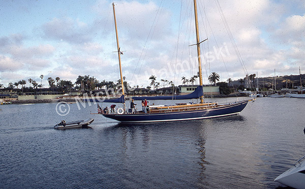
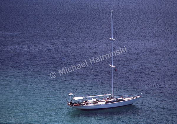
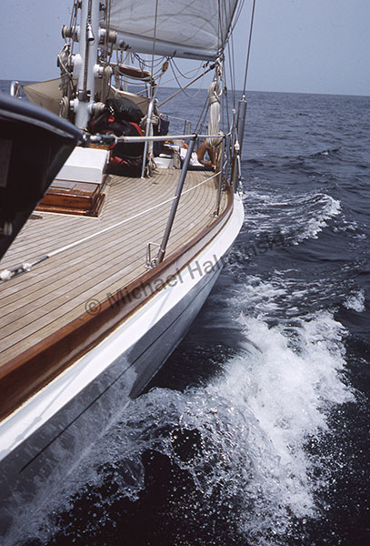
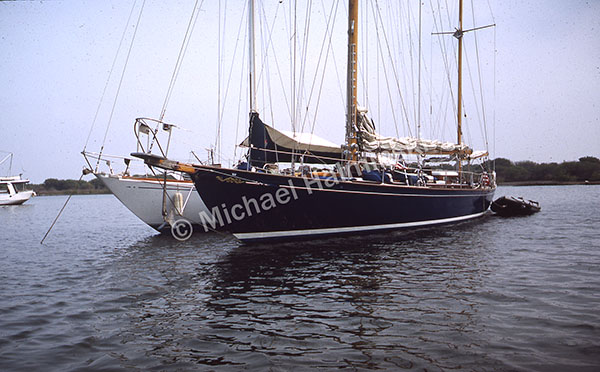
A view from the the cliff put Challenge’s pleasing lines on display.

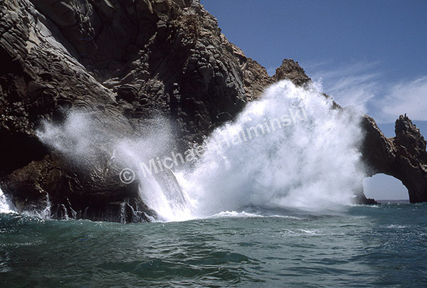
Between incoming swells, we rode the Zodiac through the famous Arch, not once but twice.

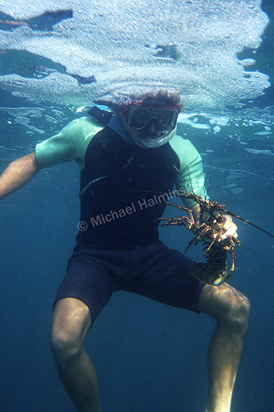
Billy snorkeled down and came up with lunch.

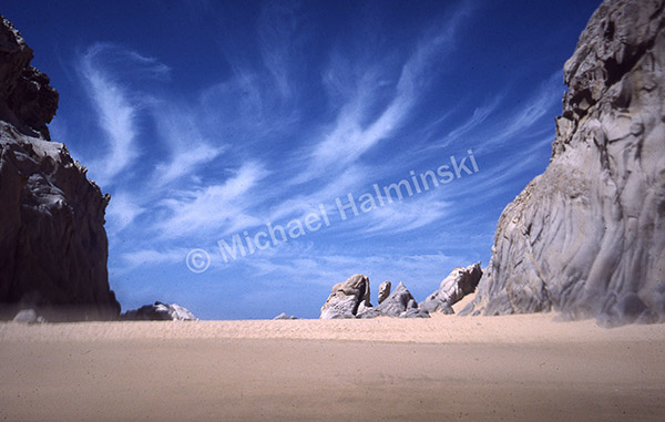
Lovers Beach at Land’s End was a bit isolated from most of the Cabo crowds.

We wined, dined, and dealt with repairing a tear in the mainsail.

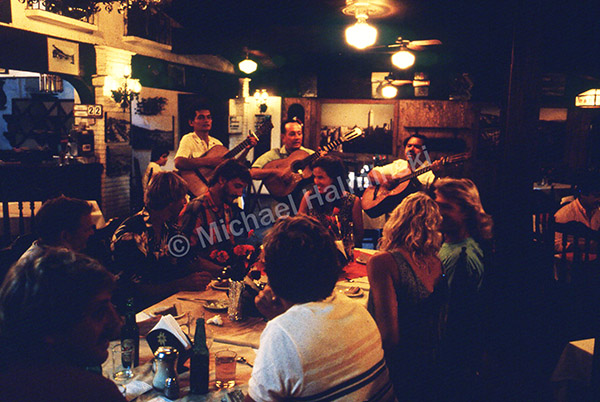
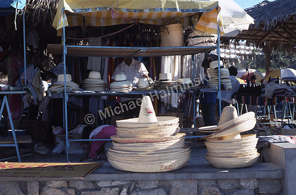
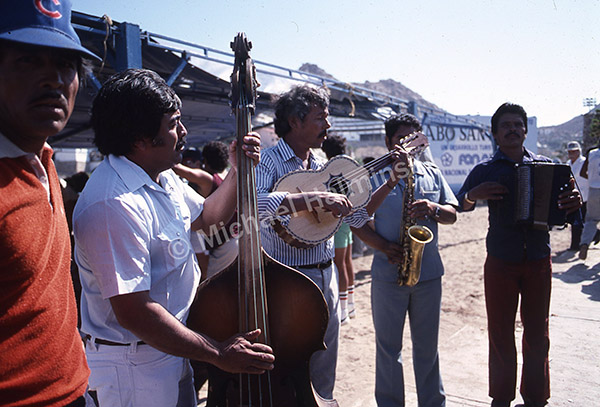
The sights and sounds of Cabo were there to be enjoyed.

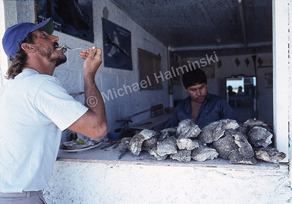
The big salty oysters weren’t bad either.

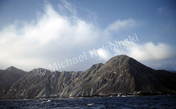
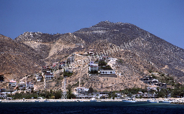
Doubtless, this Cabo hillside doesn’t look the same today, as it did in ’87. After 5 days we said goodbye and the voyage continued. For our last leg, the final destination was still a thousand miles away.


Puerto Madero (part 5 of 7)

With first mate Billy looking on, Trent plots a course to our next destination. Just over the Guatemalan border in Mexico, Puerto Madero is mainly a fishing port supported by a deep inlet. It’s a four day trip.

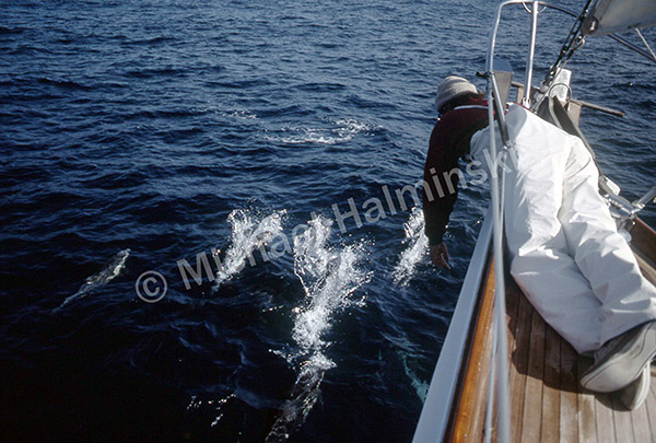
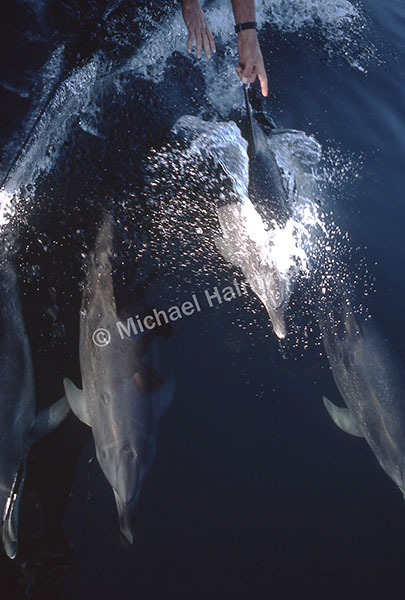
With no breeze, we motored from Gulfo Dulce into a crystal calm sea.  Fifty miles off the coast, schools of porpoise rode the underwater wake made by Challenge’s 9 foot draft. We reeled in two 30 pound mahi, and by late afternoon were approaching waters off of Nicaragua.  

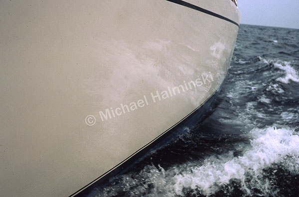
In the Gulf of Papagayo smooth seas rolled under us, the sleek aluminum hull plunging through. Sea birds soared and flying fish were kicked up by Challenge.

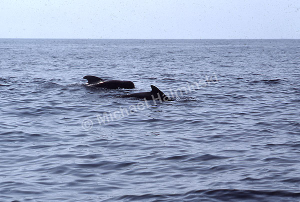
Now we’re a hundred miles off the coast of Nicaragua. Sea turtles were floating lazily on the surface. A pod of pilot whales seemed to escort us for a mile or so, at times crossing the bow.

That steamy night I slept on deck, El Salvador ninety miles to starboard. I awoke for a 4 AM watch. It’s my 38th birthday. Still no wind, motoring is making for a tight fuel situation. Our pals on Escapade have excess fuel, but are a day behind us, and  Puerto Madero is 200 miles away. It’s uncomfortably hot with no relief except for the occasional bucket of sea water over the head. By my afternoon watch, we’re off the coast of Guatemala, still no wind. Jacque has made a cake and the crew sang as I blew out a candle in the cockpit.

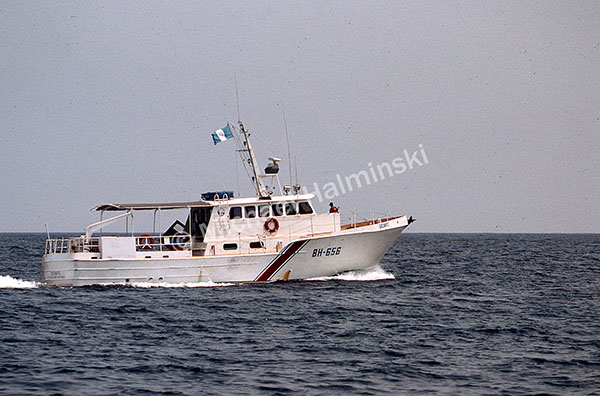
Next day, after a brief check by the Guatemalan Coast Guard,  we caught some breeze to sail within a hundred miles of Puerto Madero.

With a little wind, we made 6 knots, and by nightfall entered the big inlet to Puerto Madero.

When Escapade arrived, they rafted up with us.

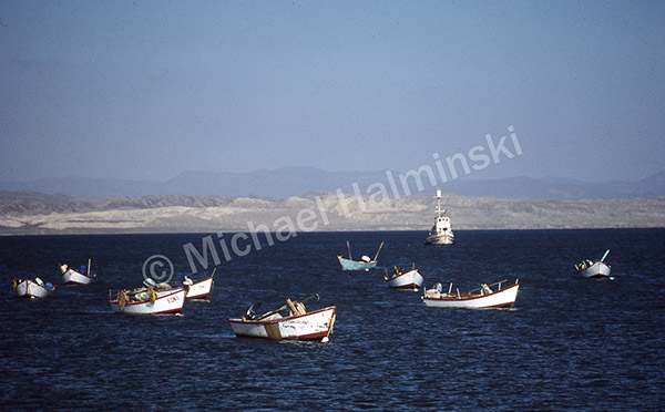
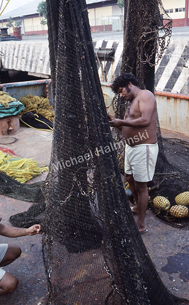
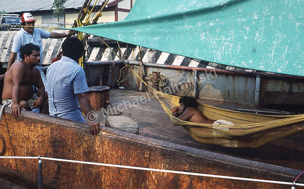
Fishermen were busy mending nets and others just hanging out. We bought fresh shrimp from them right at the dock.

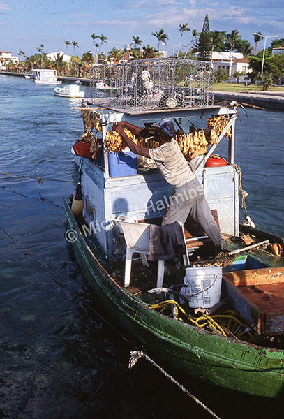
Was this man catching conch and drying them right on his boat?

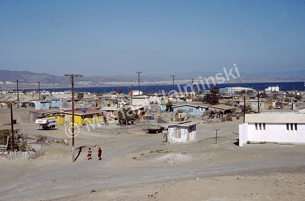
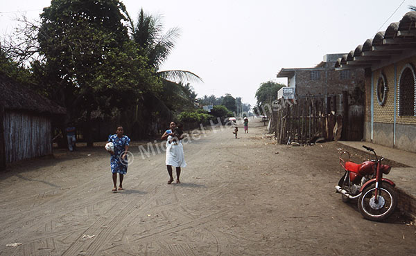
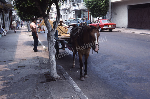
Streets in Puerto Madero were unpaved and the town lacked for provisions. The nearby city of Tapachula proved to be a much better option.

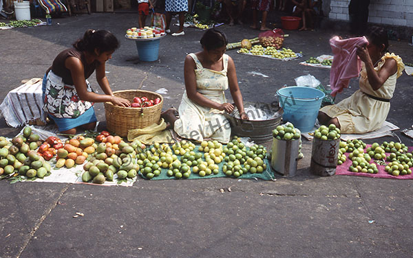
We took advantage of Tapachula’s thriving commerce and got the necessary supplies at the central marketplace.

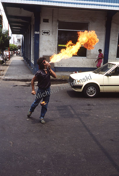
My highlight (pun intended) was finding a human flame thrower.

Next stop Acapulco, then on to Cabo San Lucas.


Golfo Dulce (part 4 of 7)

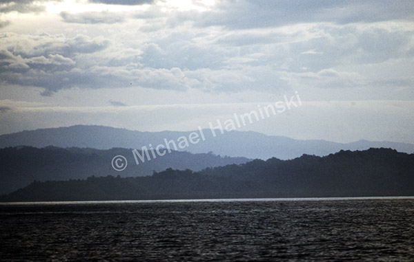
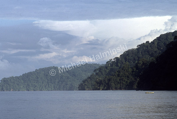
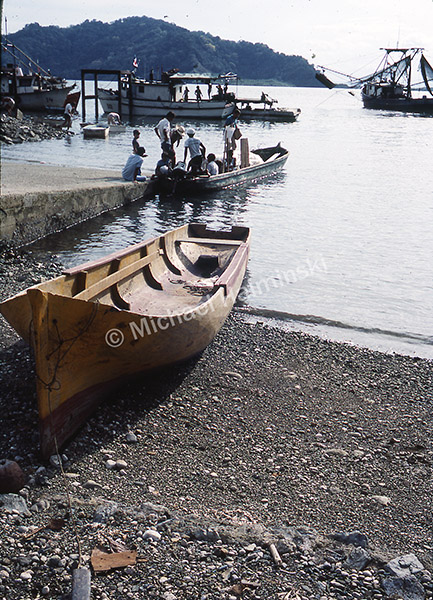
Continuing northward with diminishing wind, we motored toward Golfito, Costa Rica’s southernmost port. During my 4 AM watch I could see to starboard, the shadow of a mountainous coast. Rounding Punta Burica we entered Gulfo Dulce. It was steamy with clouds hovering over a lush, remote Osa Peninsula.

The Osa sticks out into the Pacific. A third of it is Corcovado National Park, the largest, most biodiverse natural area in the country. Years later, curiosity would take me there.

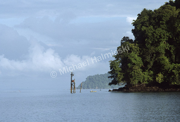
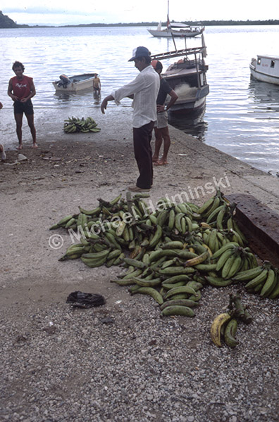
A channel marker stood at the entrance to Golfito Bay, a port developed by United Fruit Company in 1937 for the export of bananas. At the time, the region was a primeval wilderness with few inhabitants. As United Fruit thrived, so did Golfito.

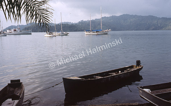
By 1984 United Fruit Company abandoned Golfito due to an economic shift to palm oil production, among other things. Challenge was anchored so we could register with the Aduana, customs office.

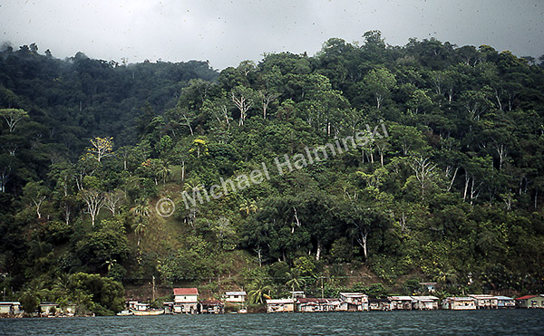
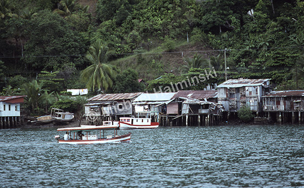
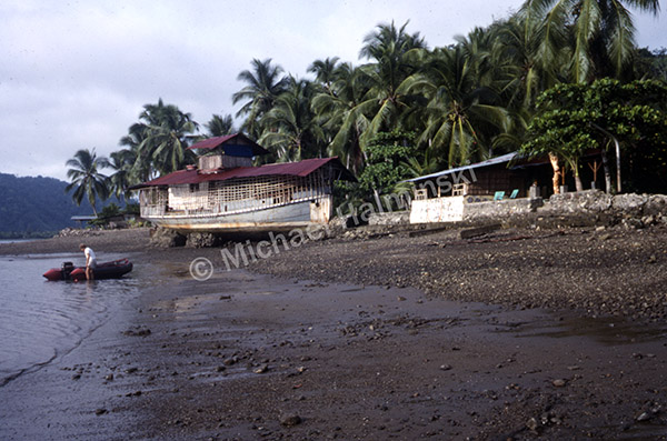
With a jungle backdrop, waterfront dwellings were a stark contrast.

Natural beauty surrounds the bay.

The water was 90°.

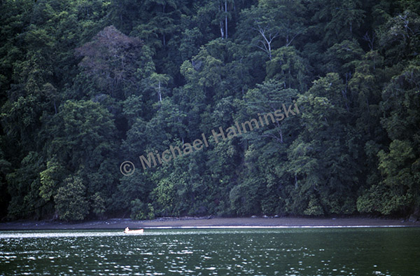
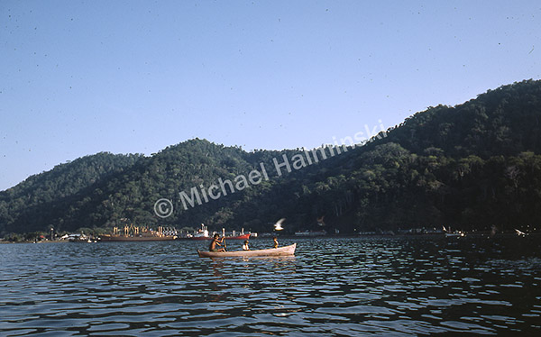
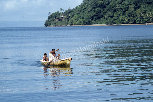
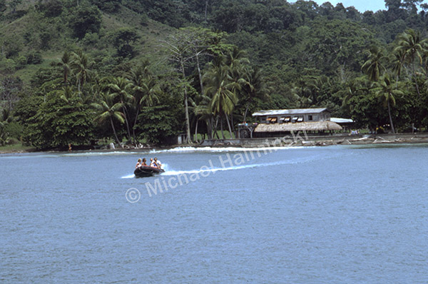
Dugout canoes crafted from single logs have probably been used here for centuries and are still commonplace.

This family may have been heading to town for school or supplies. Most locals don’t have cars.

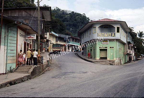
Downtown Golfito had not changed at all since my first visit in 1983.

We pulled anchor and motored to Playa Pavones to visit expatriate friend Malcolm Miles. I was first introduced to him 4 years prior as he was raising a family at Playa Zancudo. Later he built an isolated  homestead well beyond Punta Banco, until finally settling on a large chunk of land at Pavones. His life as an expat has surely been interesting.

We brought Malcolm aboard to share some stories, mahi-mahi and go for a surf.

Before departing we had two more stops to make. One to get our exit visas stamped, then to visit legendary expat, Tom Claremont.

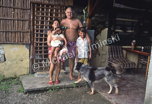
We got 15 pounds of large shrimp from a fishing trawler and visited the man known as Captain Tom. He lived on an isolated hill near the entrance to Golfito Bay with his second wife and their kids. As a young United States Marine he lost his right leg in the Battle of Iwo Jima during WW ll. Once back in the states he bought an ex-Navy sub chaser and sailed it to Costa Rica. In 1954 it broke down and he beached it nearby where he built his home. He seemed very happy and I envied his determination and lifestyle. We had quite a shrimp feast!

That night we slept on the deck of Challenge as a cool tropical breeze blanketed us. Our next landfall would be Puerto Madero, Mexico 4 days away.


Leaving Panama (part 3 of 7)


With a 20 knot breeze we exited Balboa into the Gulf of Panama. The ocean teeming with life, we began trolling and soon caught and released 3 bonita. Two big dolphin fish were also hooked and saved.

Early next morning rounding Punta Mala, we were 10 miles off the northwest coast of Panama. Near the island of Coiba we encountered cruising friends enjoying an anchorage, aboard the ketch Galatea. That’s where the fishing got better. We were joined by curious schools of porpoise and pelagic seabirds.

A blue footed booby was checking our fishing lure.

There’s nothing like catching a nice yellow fin tuna!

The ocean alive and entertaining, crew member Jack Burr enjoyed his “front row seat”.

Trent hauls in another mahi-mahi. They were plentiful and appreciated.

It was especially exciting to hook a marlin. On for 30 minutes, the line finally snapped.

With another bull dolphin on board, it was time to pull in the lines.

Offshore in the tropics, the best way to cool off is with a bucket of sea water.

Still 2 days away, our next landfall would be a familiar place, the old banana port of Golfito, Costa Rica.


The Canal (part 2 of 7)

On May 4, 1904, the United States took control of the property that would become the Panama Canal. Exactly 83 years later I found myself on a spontaneous flight to Panama, joining Trent Palmer and crew of Challenge. The sloop was anchored in Colón on the Atlantic side and destined for California. The next morning we began our journey through Panama Canal.

Entering the canal zone, our pilot came on board to direct us along the way.

Approaching Gatun Locks, we saw two large ships ahead of us. One had already entered the first chamber while another waited in line.

When it was our turn. I was struck by the chamber’s size and amount of water needed to fill it.

Four sailboats rafted up behind us and we were all bridled to counter turbulent rising water.

The water source comes from manmade Gatun Lake, a result of dams at the Chagres River. The lake stores more than enough to operate the locks and is recharged by surrounding rain forest. They never run out of water.

With the chamber filled, gates open to allow entry to the next step.

After going through 3 chambers at Gatun Locks, the last gate opened and we entered Gatun Lake, 85 feet above sea level.  While we exited, a large vessel waited to enter, heading in the opposite direction.

Once out on the lake, canal pilot Jim Wood took us to a shortcut, saving considerable time.

The shoreline along the lake is dense jungle that once overlooked a lush valley.

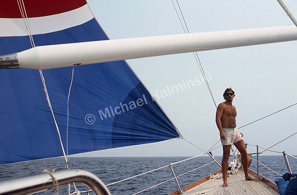
Perched on the bow of Challenge, first mate Billy Burr took in the scenery. Transiting Gatun took about 3 hours. Then arriving at Pedro Miguel and Miraflores Locks respectively, we descended into the Port of Balboa on the Pacific side. It totaled 8 hours for us to get from the Atlantic to the Pacific.

Challenge was moored at Balboa a few days while we gathered provisions.

Getting underway May 9th, we motored toward the Pacific under the Bridge of the Americas.