Category Archives: Sea

Grand Finale for 2010

Even during a winter storm, Hatteras Island is a peaceful place to be during the holidays. Over the years, I’ve gone to visit my family in Virginia most of the time. But when I first moved to Rodanthe in 1973, I spent my first Christmas here, away from the family.

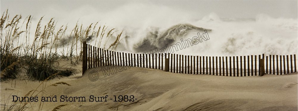
Back then there weren’t nearly as many residents as there are now, and the place seemed empty and desolate during the holidays. That Christmas morning 37 years ago, I remember sitting alone on the porch of Valton Midgett’s 2 bedroom rental cottage during a big winter storm. Over the dune tops, I could see huge ocean swells rolling in, and a fierce northwest wind blowing spray off the wave tops, into dark and ominous skies. That image is burned in my mind, and I took no photographs. It was a defining, blissful moment for me.

Although things have changed since then, this Christmas was similar. A lot of locals left to be with loved-ones, and highway 12 was virtually empty and silent. At no other time of year can this be experienced, although hurricane evacuations can come close.

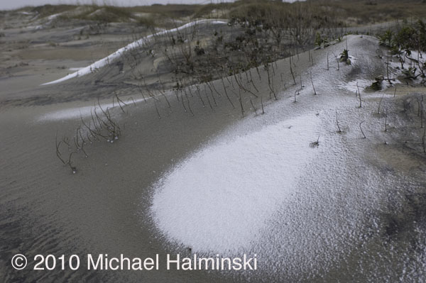
With this recent winter storm in the forecast, I was hoping to see a big snow event here. But all we had was less than a inch of rain, and a light dusting of snow, not enough to blanket the ground.

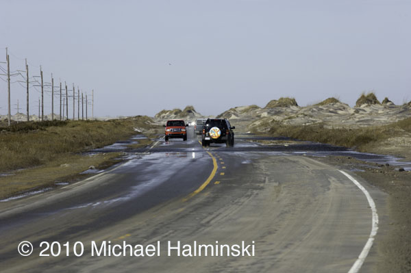
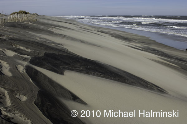
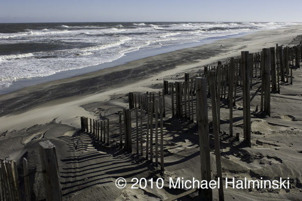
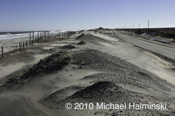
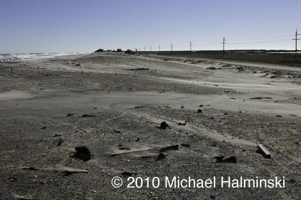
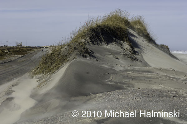
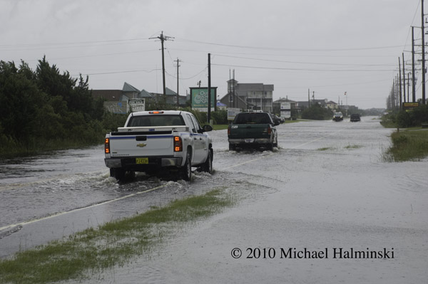
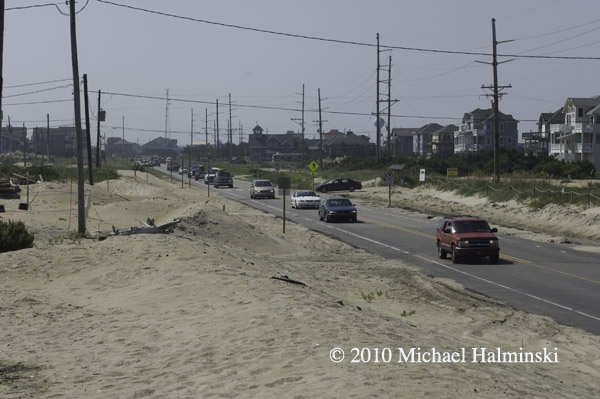
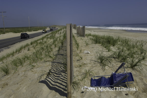
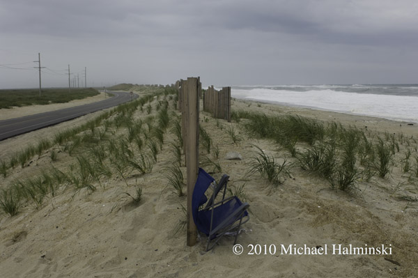
There were bitter winds coming off the Pamlico Sound. Tides were well above normal, enough to allow sea water to dribble across highway 12 at the S-Curve. With no beach there now, the “renourished” dune line built there by NCDOT is all but gone again. 

I took this photograph from my truck as I drove past the dune at the S-Curve on highway 12.

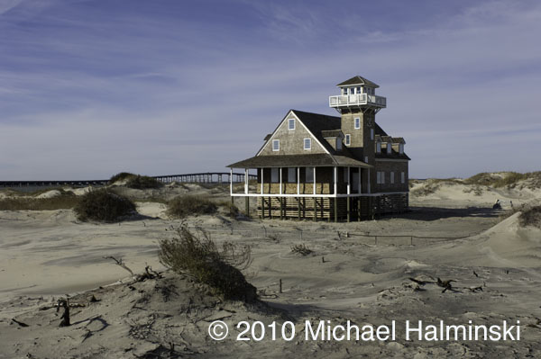
The old decommissioned Coast Guard Station at Oregon Inlet awaits its uncertain fate. It has been restored and stabilized by the State of North Carolina.

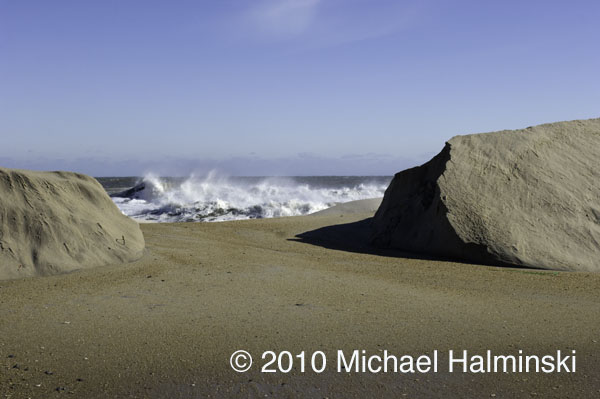
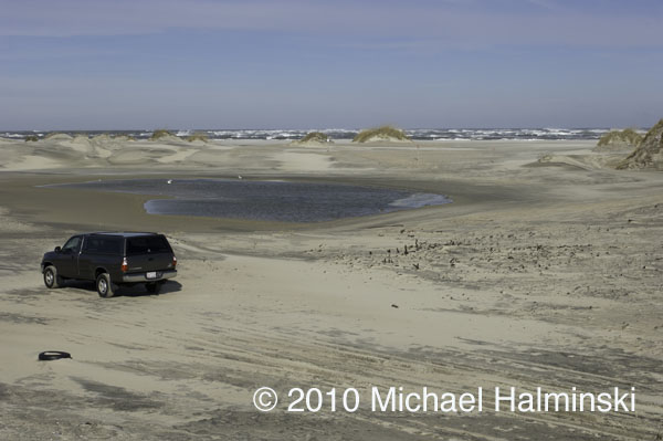
This is the site of a borrow pit at Oregon Inlet, where NCDOT has excavated sand to rebuild dune systems along highway 12.

Those that live here mark storms as a calendar. We associate our memories with certain storms in the past. Even though this one had minor impact for us, it was significant as all storms are.

Each one changes this dynamic barrier island in some way. The beaches and dunes shift about as a result of moving wind and water. The dunes and highway, like many man made artifacts here, are hanging by a thread. None of it is permanent.


More Soul Surfers

Soul surfers ride waves for the sheer pleasure and experience, not to prove themselves through contests or competition. It doesn’t matter if someone has an ability better or worse. It really all comes down to one person, one wave and the interaction between the two.

One of my best friends in life has been Robin Gerald. We arrived on Hatteras in the early 70’s, exclusively to surf. Others came and went, but we have remained to this day. In the process we found ourselves a way to earn our livings that would permit us to drop everything when the waves got good. In our heyday, if the surf came up, one of us would know and alert the other. For years, it was sort of an unwritten pact of loyalty.

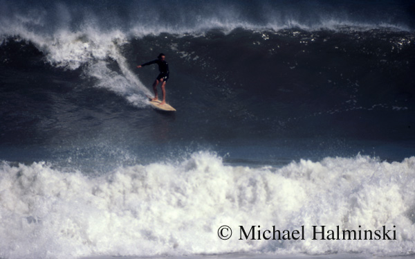
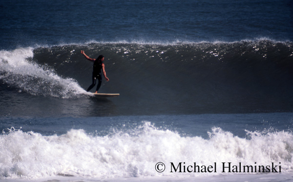
Robin is shown here dropping into an overhead wall at the old S-Curve site, October of 1976.

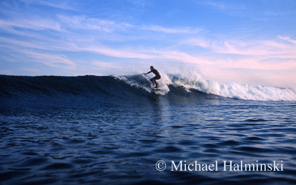
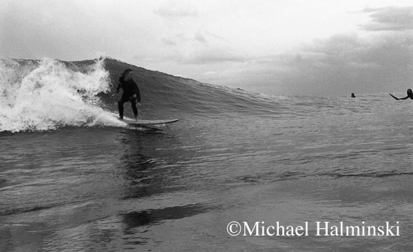
This 1998 photo shows Robin on a nice fun wave on the north side of the fishing pier at Rodanthe.

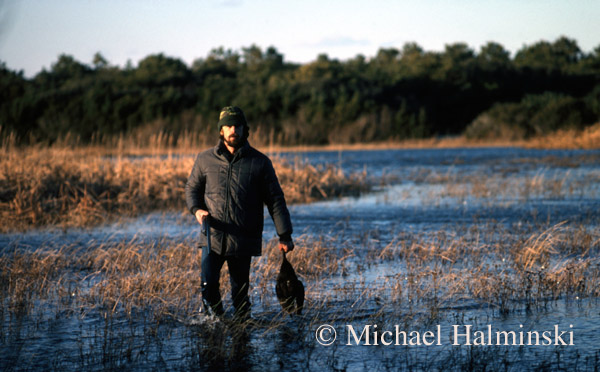
Robin was very adept at waterfowl hunting. He would often provide friends with hearty meals of fish or fowl or both. He was affectionately known as Marshman. Here in 1987, he retrieves a nice black duck from a fresh water pond in Buxton.

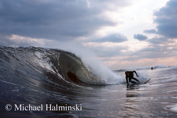
Another friend of mine was Ed Corley. He already lived on Hatteras when I arrived, and was an outsider, turned local. A short time later, he was involved in a horrible truck accident that landed him in a coma for 2 weeks. His recovery was slow, but he eventually gained most of his former self back. Ed and I bought 2 of the original Boogie Board kits and did a lot of body boarding together. It was good therapy for him in his recovery.

This photo of Ed was taken in the Fall of 1974 during a swell breaking near the ruins of the original Cape Hatteras Lighthouse in Buxton.

Ed Corley surfing the S-Curve in 1976.

Ed on a nice left at Salvo Shipwreck, 1974.

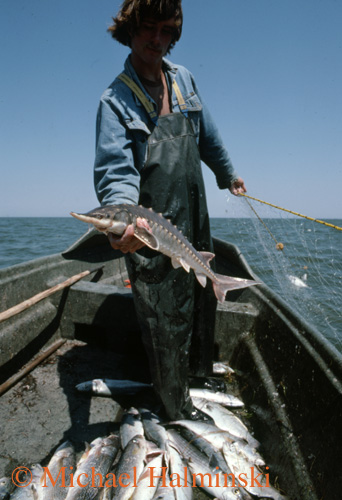
Ed chose commercial fishing as a way of life. Like many of the locals that fished for a living, he did it more because he loved it, than the financial rewards. This is a shot I made in 1977 when Ed, holding a sturgeon, was gillnetting in Pamlico Sound. He later went to work on offshore fishing trawlers, and relocated to Coos Bay on the Pacific coast. It was there that the boat he was working on sank on a stormy new years eve, taking him down with it.

to be continued….


Aftermath

Things are calming down quickly. The rain has abated, and the sound tide has rolled moderately enough to not flood my workshop under the house. 

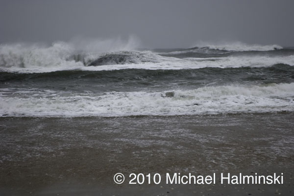
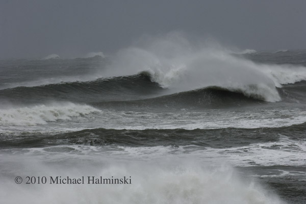
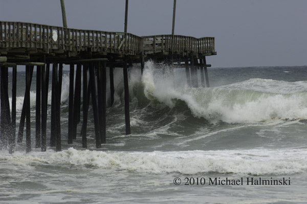
The beach was a sight to behold, blown clean by wind and tide. Enormous waves breaking into the offshore wind.

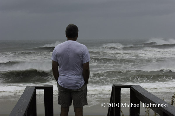
Ray Murray checks the surf after Hurricane Earl has passed.

Watching and Waiting

Years ago, before there was cable television and the internet on Hatteras Island, I relied a lot on weather radios. I also had my dad, a career meteorologist, for tracking and updates of tropical systems. With an approaching hurricane my dad would look at surrounding pressure systems and could plot a course using his protractor and a set of parallels. He had an uncanny sense of predicting where the storms were headed, and a detached calmness even about a major hurricane bearing down on one of his sons.

Today of course, we have the world wide web of information. And that’s a good thing, because my dad is gone, and it’s helpful to know what we’re in for. Hurricane Earl is forecast to head our way and veer off slightly to the north northeast just south of the Cape. And that would be a good thing. Hopefully we can dodge this storm, like many others.

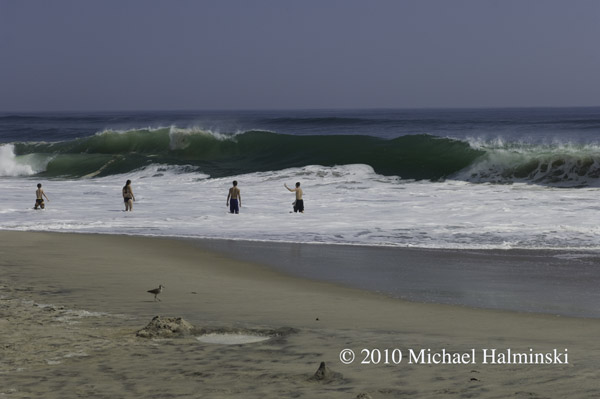
Yesterday morning I drove up to the S-Curve to check the swell, and it had definitely picked up. There were a few brave souls playing near the shore break, and even some body boarders getting some thrilling rides. From the beautiful weather, you’d hardly know that there was an approaching storm.

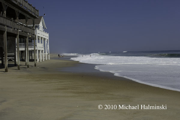
Rodanthe oceanfront on Wednesday.

Playing close to the shorebreak at S-Curve.

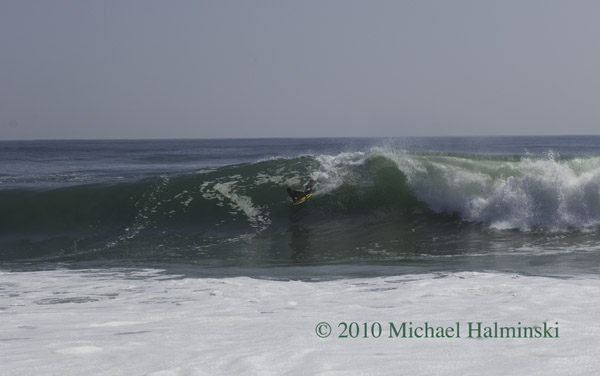
Body boarding on a big glassy face.

Evacuees leaving town through Mirlo Beach.

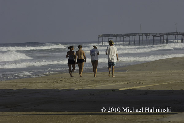
Making the most of the last day of gorgeous weather near Rodanthe Pier.

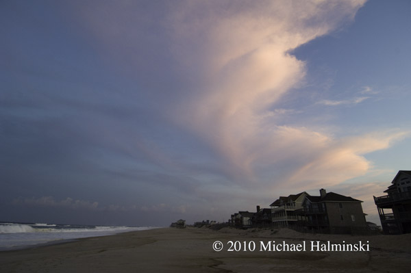
The end of Wednesday with swirling high clouds.

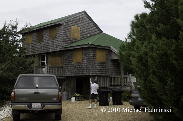
Next morning, after a restless sleep, I wonder what the next 24 hours will have in store. It’s hot and humid, and light northeast winds. The house is boarded up with plywood that I bought 28 years ago.
All boarded up and ready to move vehicles to higher ground.

Thursday brings in rough surf at Rodanthe Pier.

The artificial dune at S-Curve on Wednesday morning.

Same location on Thursday. Hurricane Earl will pass in several hours, and like many hurricanes, at night. I can’t tell you how hot and humid it is, and I’m worn out from all the preparations. It’ll be a long night.

I intend to expand this blog entry as time goes on. So stay tuned.


Portsmouth Village Homecoming

For me, the most intriguing town on the Outer Banks is the village of Portsmouth. Situated on the northeast tip of Portsmouth Island, it played a significant role in local maritime history for well over one hundred years. It’s geographic location next to Ocracoke Inlet was important in making it a major port of commerce when wooden ships still sailed the seas. Deep draft ocean going vessels could offload goods there, and smaller boats would come from inland river towns to pick it up. From the 1750’s to the 1850’s, Portsmouth was a thriving seaport. According to an 1860 census, the town had a population of 685 residents.

But by then, things were beginning to change. A series of storms opened other inlets, and at the same time Ocracoke Inlet began to shoal. Shipping routes changed, commerce dropped off, and gradually the town dwindled to only a few people. With the death of Henry Pigott in 1971, the last man to live at Portsmouth, the last two residents, Elma Dixon and Marion Babb reluctantly left the island.

Today the 250 acre historic district of Portsmouth Village is a part of the Cape Lookout National Seashore. The remains of the town have been left intact and maintained.

Since 1992, the Friends of Portsmouth Island have sponsored a homecoming every 2 years. I went in 2008, and looked forward to this April 24, 2010 event. Again I was not disappointed. Here are a few things that caught my eye.

Descendants of village residents pose for a photographer in front of the Dixon/Salter house.

The Robert Wallace house.

The Dixon family cemetery.

The post office opens every other year for this event, including canceling postage stamps.

Ocracoke fisherman Gene Ballance demonstrates the art of net mending.

James Gaskill wears a device once used for fire-lighting waterfowl. He is also a commercial fisherman from Ocracoke.

At the old Coast Guard Station, Dave Frum explains the beach apparatus method for rescuing shipwreck survivors.

The Methodist Church was always a focal point of the community and still is.

88 year old Rudy Carter and Mil Hayes ring the bell to begin a church service. Rudy is a descendent of Henry Pigott, the last man to live at Portsmouth.

Get to the church on time if you want to get a seat.

Born in 1921, Dot Willis affectionally known as “Miss Dot”, is the last surviving resident that was born at Portsmouth Village. The light coming in the translucent windows of the church was very nice so I took the opportunity to speak with her, and make this available light portrait.

Back in the day, the flat-bottomed skiff was a preferred mode of transportation. These guys were fastening the bottom planks in a boat building demonstration.

Roy Willis from Stacy, NC was showing his waterfowl carvings.

Roy made and hunted over these green winged teal decoys last season.

The main tent provides seating for up to 500 people.

Then there’s the covered dish dinner with plenty for everyone. And the mosquitoes weren’t even that bad. If you go in 2012, I’ll see you there.

Group shot of attendees at the 2010 homecoming.