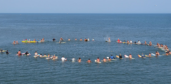
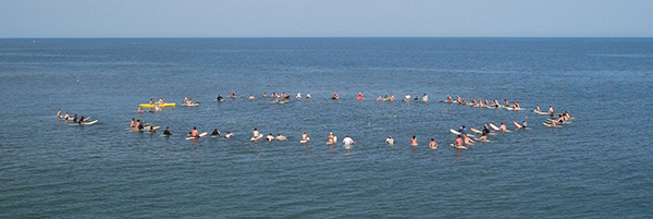
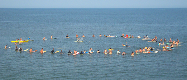
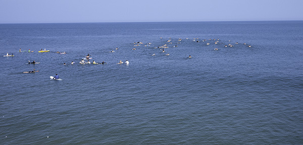
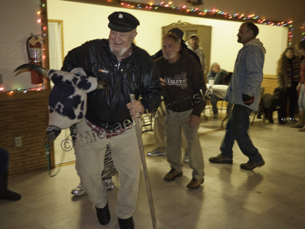
Nothing can pay tribute, to a surfer who has passed away, more than a ceremonial paddle out. It is surfing’s honorable sendoff. We put the word out to do this for Robin and didn’t know what kind of turn out to expect.
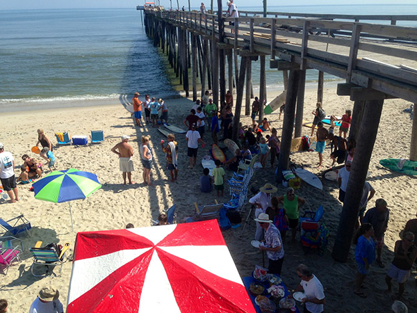
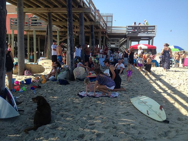
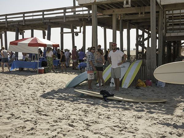
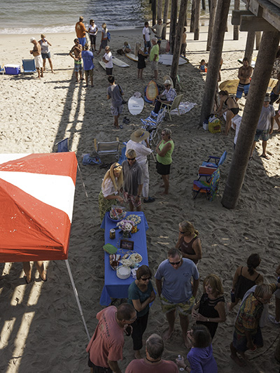
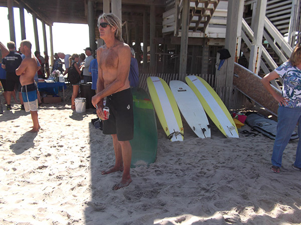
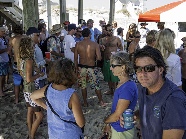
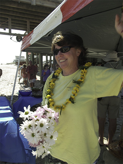
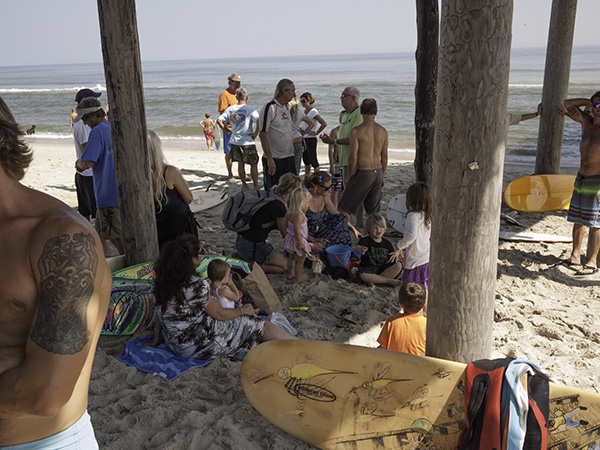
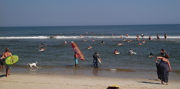
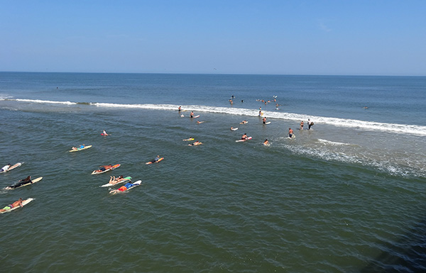
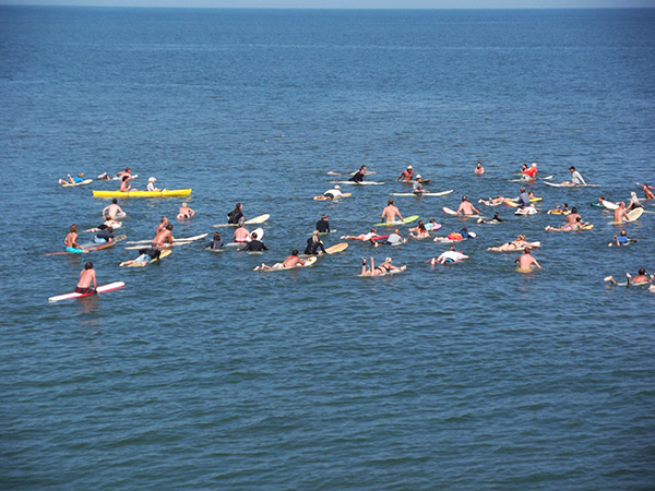
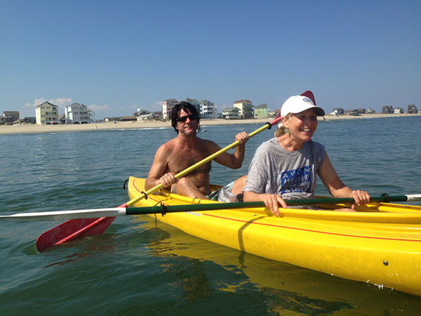
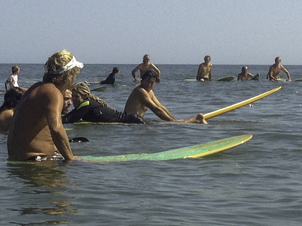
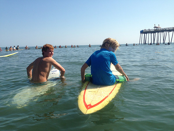
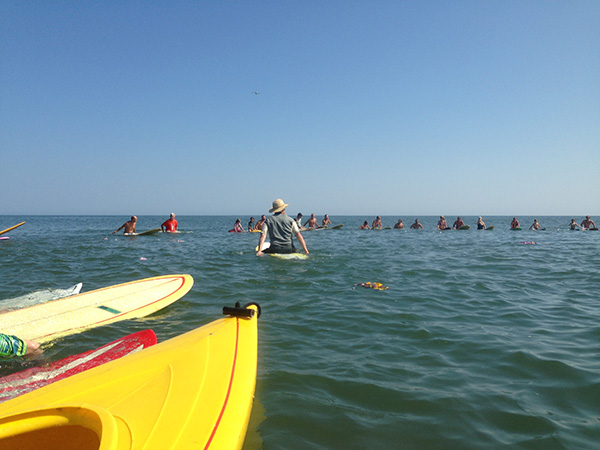
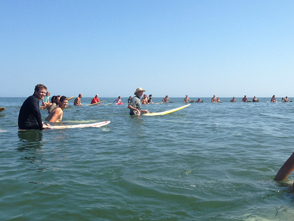
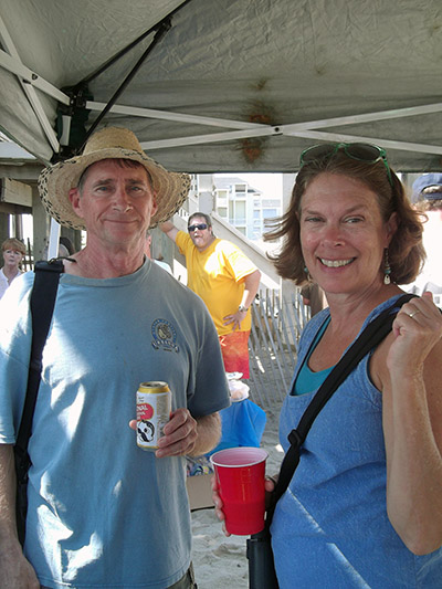
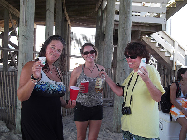
On October 5th at noon, participants began arriving at the Rodanthe Pier for an informal covered dish beach party. By about 1:00 there were well over 150 people on site to pay their respects. We began paddling out at 1:15. It looked like about 80 people, aged 8 and up, on surfboards, a few kayaks and boogie boards.
It was slick calm, warm and sunny, ideal conditions for Robin’s memorial.
The photographs shown here are a compilation of several contributing photographers:
Amberly Dyer, April Contestable, Bev Martin, Jim and Marcy Martin, Ben Tran, Denise and Mike Halminski
Kelly Schoolcraft and Russell Blackwood were on hand to pay their respects
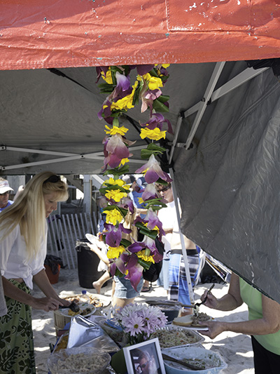
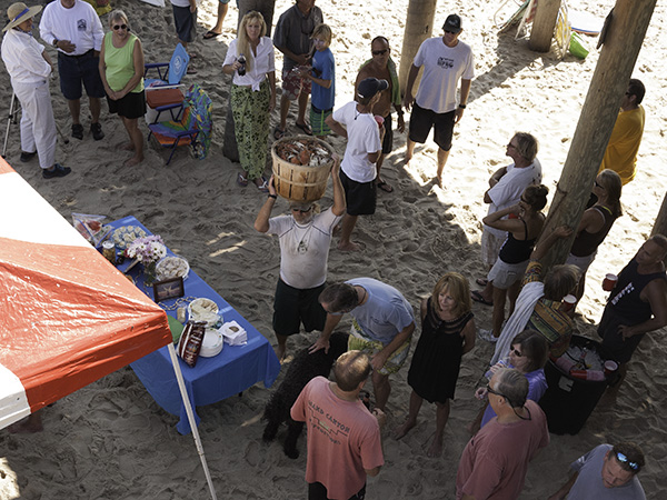 There was plenty to eat, especially when Eric came in hoisting a bushel of steamed crabs.
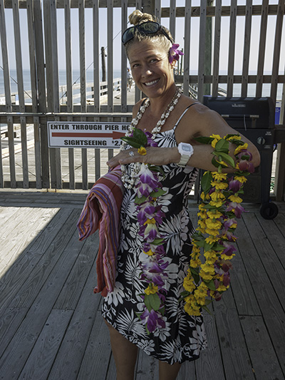
Chandra Rutledge made three beautiful leis for the occasion.
Denise was my co-conspirator for this great event.
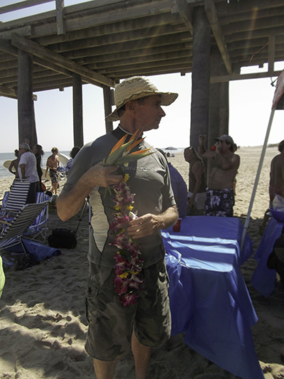
Beverly Bull gave me some bird of paradise flowers to throw out on the sea, along with Chandra’s orchid lei.
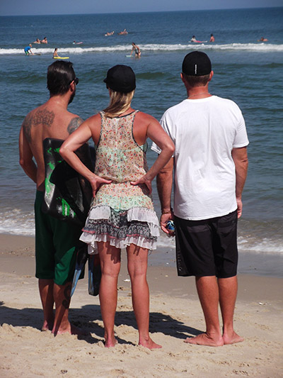
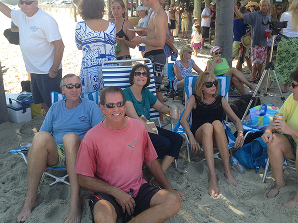 Our special guests were Robin’s cousins, Rob and Jean Marie from Delaware. They were accompanied by their spouses, Jeff (left) and Bev (center). There were many great stories shared by them.
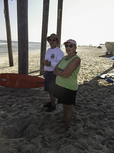
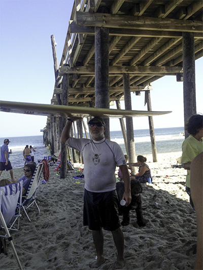
Charlie and Betz Mullen had it made in the shade..
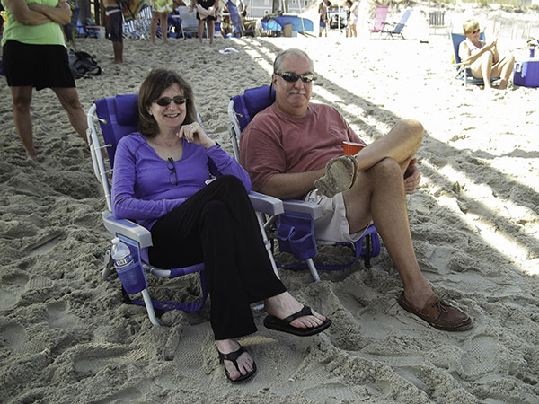 Jo and Buddy Brothers did too.
Eric Anglin was ready to go out.
GoPro YouTube video: courtesy of Brett Butler
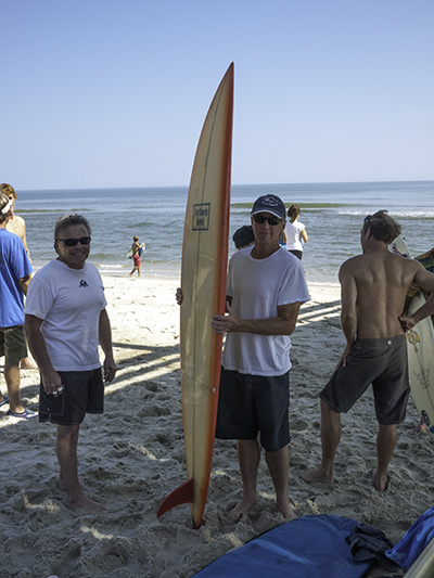
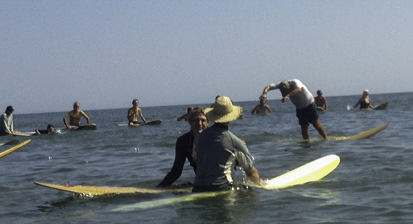 Richard Byrd was paddling Robin’s ten foot Gary Propper model vintage Hobie.
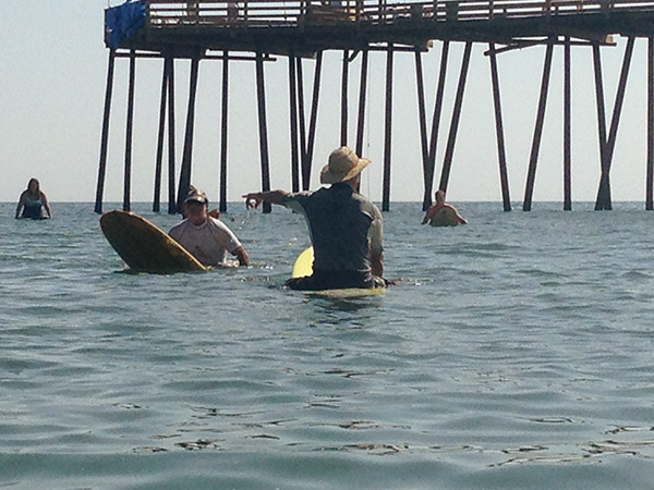 Eric and I thought it would be nice to extend the paddle out to the shipwreck and secure the lei to a buoy.
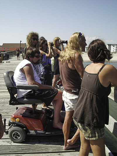
Selby Gaskins Jr. and crew watched from the pier.
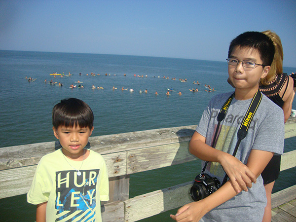 Colin and Ben Tran witnessed their first Paddle Out.
 Twelve year old Ben made this remarkable interpretation of the ceremony.
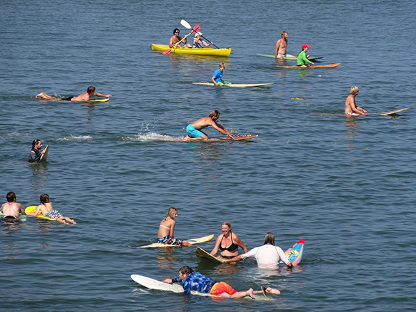 There were petals out on the water.
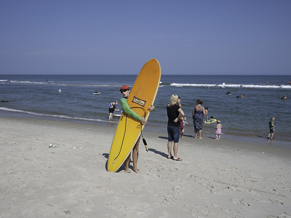 April had her old Dewey Weber.
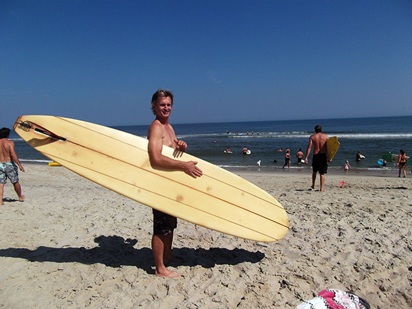 Jon Brown brought out his Redman shaped Hatteras Glass.
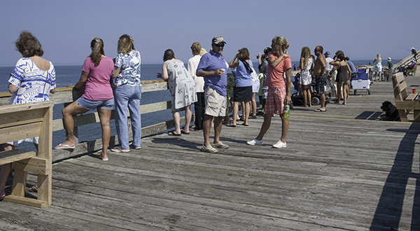 Robin’s old buddy Benji Stansky watched from the pier.
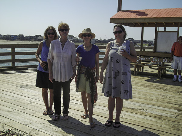 Jan Deblieu, Susan West, Marcia Lyons and Beverly Bull celebrate on the end of the pier.
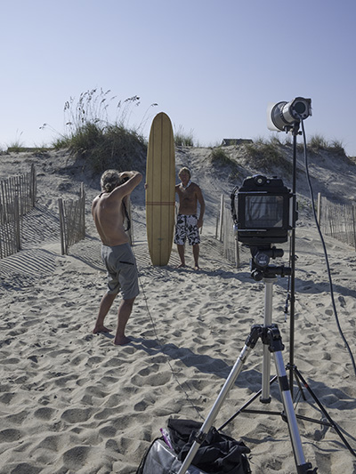
Allen Jones had his studio set up.
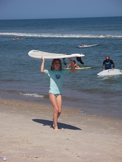
At eight years old, Mia Phillips made the entire paddle out to the shipwreck.
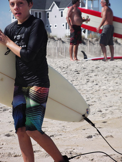
Eleven year old Johnny Contestable also made it out to the wreck.
Here I am with Robin’s favorite Natty Bo and writer Jan Deblieu.
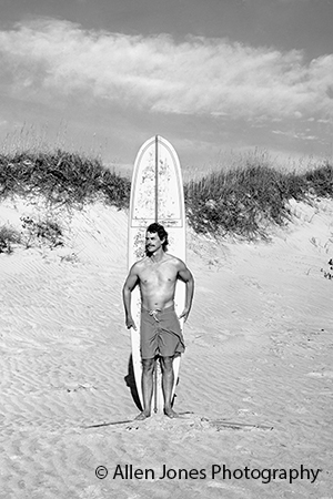
Allen Jones made this striking portrait of Robin with his “Propper” in 1998.
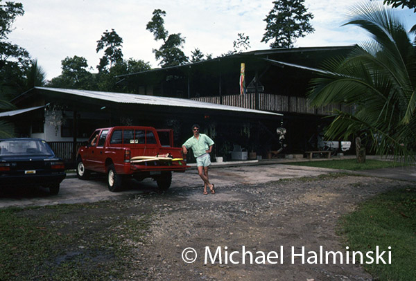
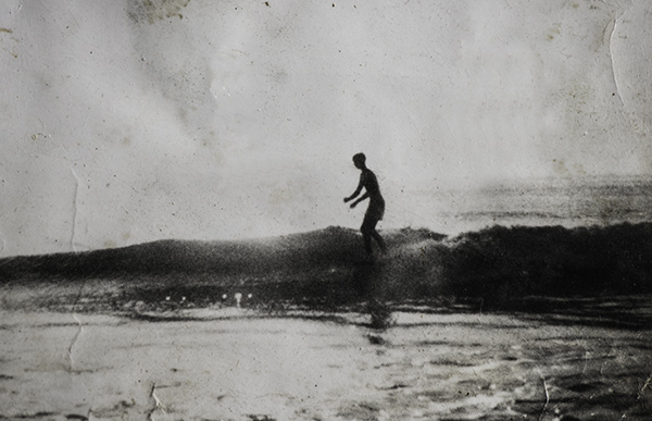 Robin had this photograph on his wall for as long as I’ve known him. It was taken at the north side of Indian River Inlet in 1967. He would have just graduated from high school.
Aloha, Robin!
