Category Archives: storms

Epilogue to Earl


The final situation here was not nearly as bad as we were anticipating. Over wash on the oceanside was minimal, as was the moderate 4 foot surge from the sound. Other than some broken branches and debris in the yard, most everything is okay.

Everywhere are signs of the power of nature, and it could have been so much different had Earl been any closer.
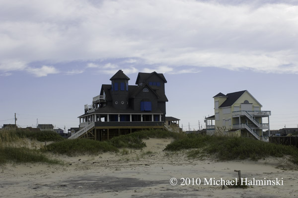
Serendipity is still snug on its new location.
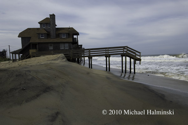
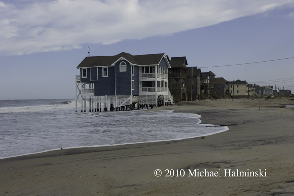
Before the storm, these steps at Mirlo Beach were touching the sand.
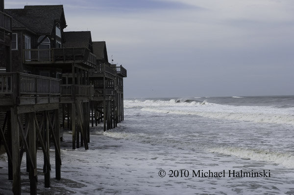
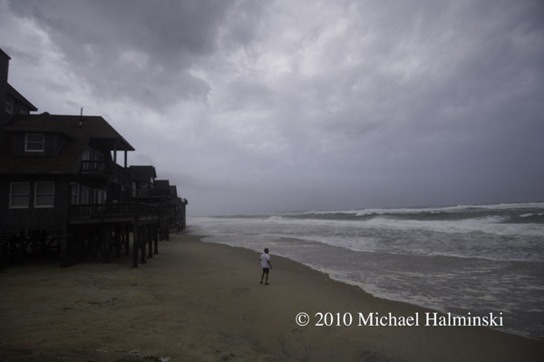
The oceanfront at Mirlo Beach almost always receives the highest impact. With one of the highest erosion rates in the state, it’s probably not long before these homes succumb to the ocean’s power. Yesterday the county just re-condemned three more properties.
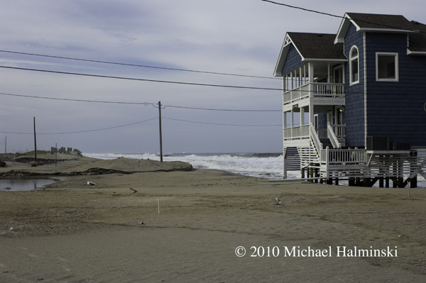
The northern-most cottage, Tailwinds is nearly on it’s last legs.
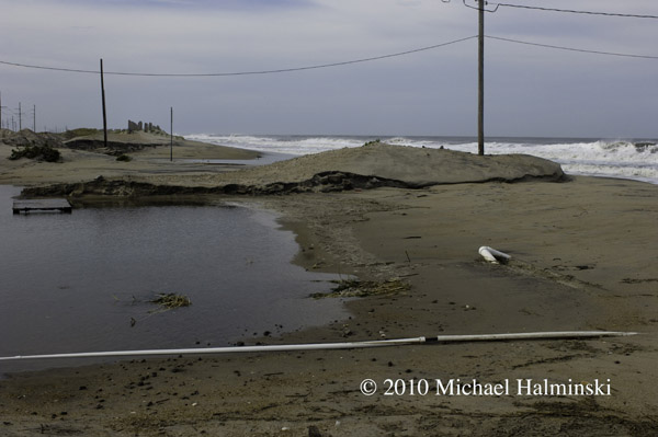
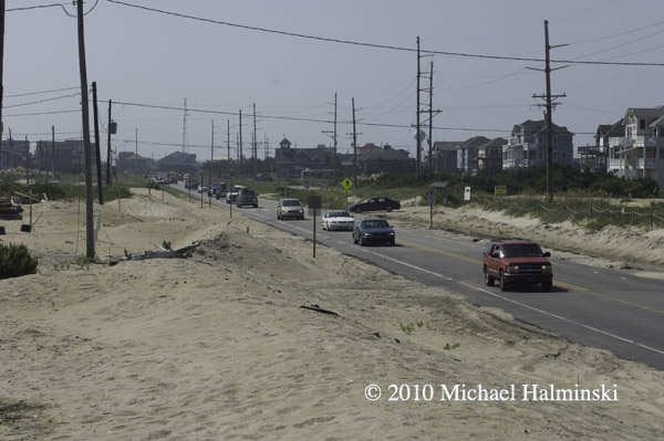
Looking at the S-Curve area, the scene is not as bad as anticipated.
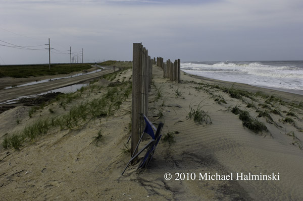
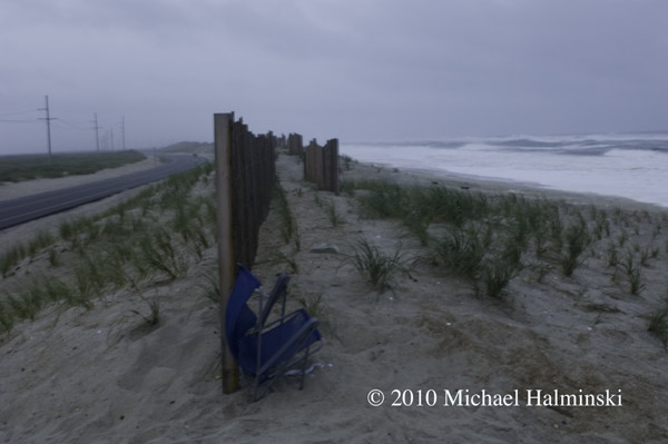
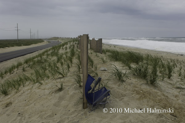
Two days ago, I would have bet money that this sand fence and dune would be completely washed away, along with some highway pavement. This being intact sums up our good fortune with Hurricane Earl.

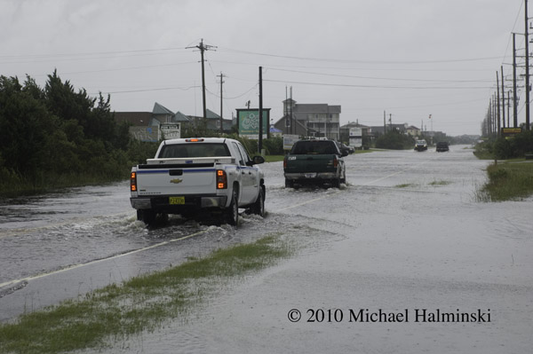
NCDOT did not waste any time going to work clearing the highway. This morning at 7 AM, the road was opened to traffic for the big Labor Day weekend.
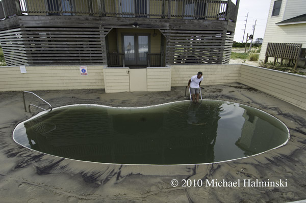
But be careful about which salt water swimming pool you dive into…..


Aftermath

Things are calming down quickly. The rain has abated, and the sound tide has rolled moderately enough to not flood my workshop under the house. 

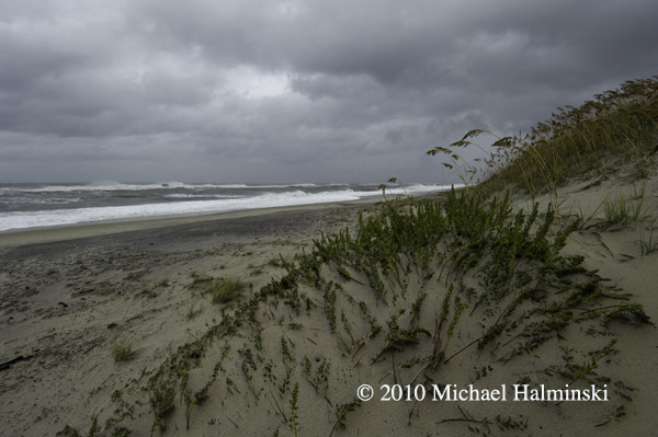
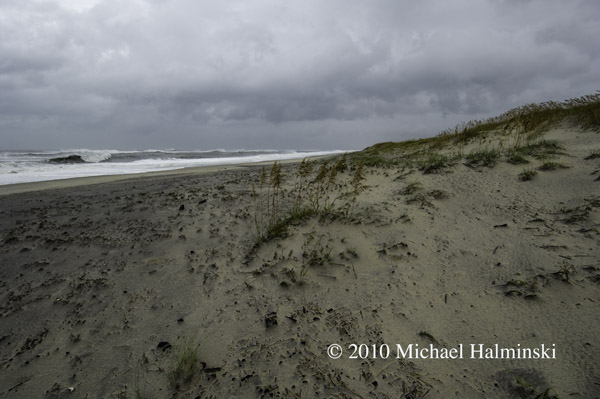
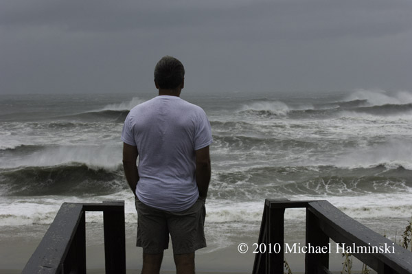
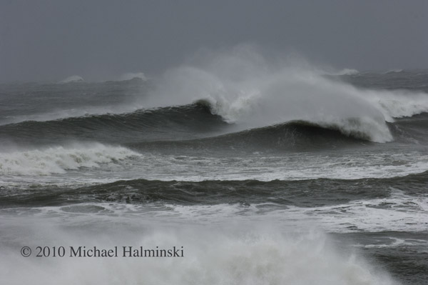
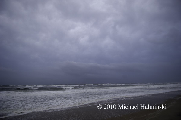
The beach was a sight to behold, blown clean by wind and tide. Enormous waves breaking into the offshore wind.

Ray Murray checks the surf after Hurricane Earl has passed.

Morning After

Last night it was good news to hear about Earl’s slight change in course. We checked the S-Curve at sundown, and found the seas just starting to wet the highway. Water was washing up under the houses. The skies looking ominous.

Here’s the S-Curve sand fence again. You can see things are beginning to tighten up. It must have washed away by now.

My brother-in-law Ray Murray is from Missouri, and this was is his first hurricane.

This is the outer edges of the storm thickening. Wind was picking up by the minute.

I was awakened about 5:45 this morning to an abrupt shaking of the house. The winds are picking up from the backside of Earl, shifting northwest. I’m always amazed at the one-two punch of storms like this. You can tell where you are relative to the center of circulation. Straight east of us is due north winds, switching hard to northwest as the storm passes. So far we’ve had about 5 inches of rain here, with signs of it tapering off. I wouldn’t be surprised if, at some point, we had winds in the range of 80 to 90. By the time I had checked the barometer, it had gone up to 990 millibars from what ever it was during the peak.

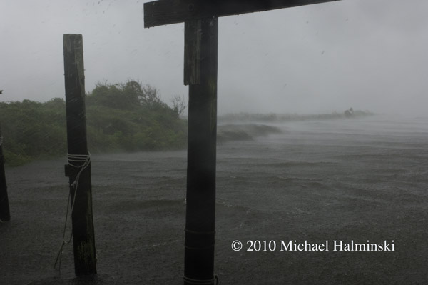
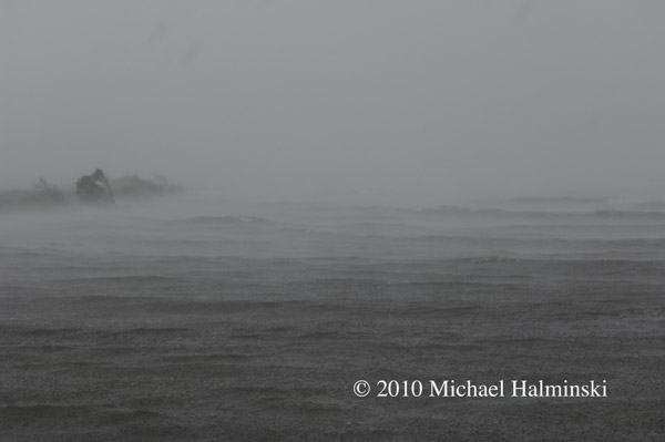
This is a view from my neighbor’s fish house. The sound tide has risen a couple of feet, flooding highway 12. I’d heard that digital cameras were pretty good in the rain, so decided to put it to the test. Right about this time a serious squall came through. Look how well the marshlands absorb the seas.

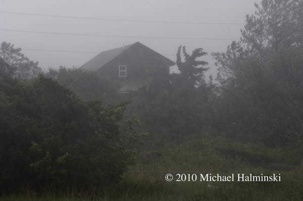
Mi Casa during the squall.

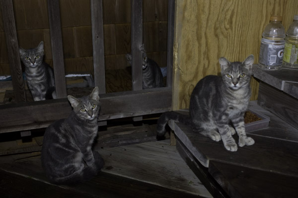
Our adopted feral kittens were sacked out in the hurricane hole that we built for them.

Stay tuned.


Watching and Waiting

Years ago, before there was cable television and the internet on Hatteras Island, I relied a lot on weather radios. I also had my dad, a career meteorologist, for tracking and updates of tropical systems. With an approaching hurricane my dad would look at surrounding pressure systems and could plot a course using his protractor and a set of parallels. He had an uncanny sense of predicting where the storms were headed, and a detached calmness even about a major hurricane bearing down on one of his sons.

Today of course, we have the world wide web of information. And that’s a good thing, because my dad is gone, and it’s helpful to know what we’re in for. Hurricane Earl is forecast to head our way and veer off slightly to the north northeast just south of the Cape. And that would be a good thing. Hopefully we can dodge this storm, like many others.

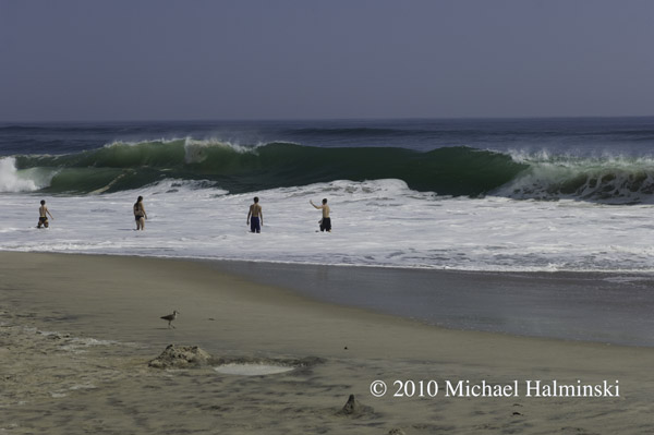
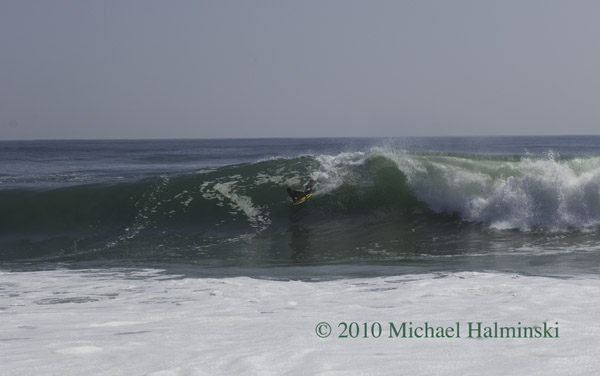
Yesterday morning I drove up to the S-Curve to check the swell, and it had definitely picked up. There were a few brave souls playing near the shore break, and even some body boarders getting some thrilling rides. From the beautiful weather, you’d hardly know that there was an approaching storm.

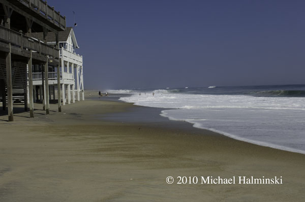
Rodanthe oceanfront on Wednesday.

Playing close to the shorebreak at S-Curve.

Body boarding on a big glassy face.

Evacuees leaving town through Mirlo Beach.

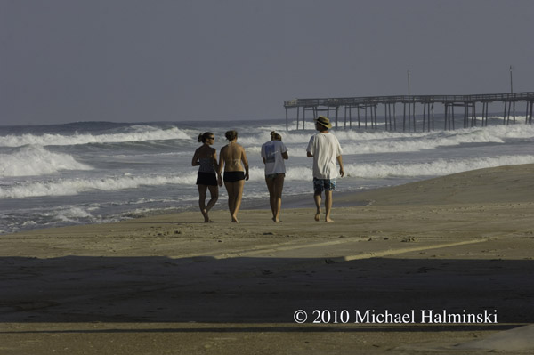
Making the most of the last day of gorgeous weather near Rodanthe Pier.

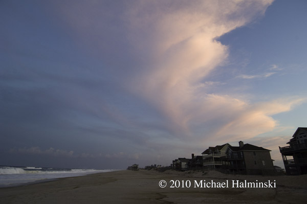
The end of Wednesday with swirling high clouds.

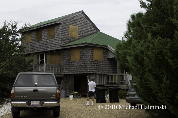
Next morning, after a restless sleep, I wonder what the next 24 hours will have in store. It’s hot and humid, and light northeast winds. The house is boarded up with plywood that I bought 28 years ago.

All boarded up and ready to move vehicles to higher ground.

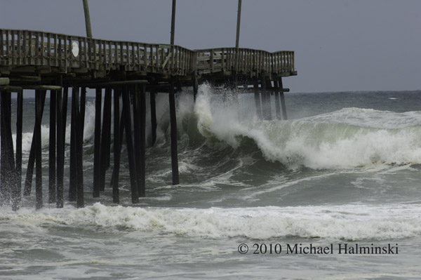
Thursday brings in rough surf at Rodanthe Pier.

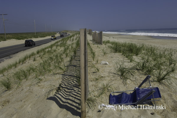
The artificial dune at S-Curve on Wednesday morning.

Same location on Thursday. Hurricane Earl will pass in several hours, and like many hurricanes, at night. I can’t tell you how hot and humid it is, and I’m worn out from all the preparations. It’ll be a long night.

I intend to expand this blog entry as time goes on. So stay tuned.


Show Time

My Summers are not what they used to be. It seems that I get caught up more in photography business, than surfing and hanging out at the beach. Now there are more people than ever coming to the Outer Banks, and I don’t blame them. The place speaks for itself. So now I make hay while the sun shines.

Lately, I’ve been occupied printing, matting and framing not only for my gallery inventory, but also preparing for an exhibit being held at the largest gallery space in the area. Roanoke Island Festival Park in Manteo is hosting a group show that will feature my work along with two other local photographers, Ray Matthews and Eve Turek. Our theme is one of my favorite subjects, the weather.

We hang our pieces next Thursday, and the exhibit will start with a reception, open to the public on Sunday, August 1st from 2 to 4 PM. 

Since I’ve got this on the brain so much, I thought I’d give a sneak preview of a few of my prints.

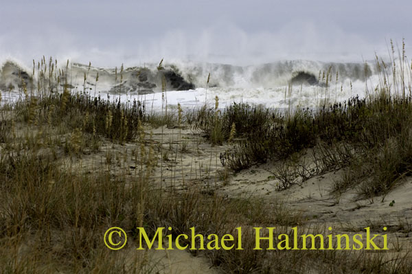
Taken last Fall, this breaking wave was formed as a result of Tropical Storm Ida.

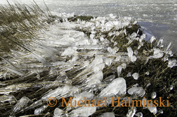
The past winter was unusually cold here. I made this photo in my back yard after brisk northwest winds sprayed water from the Pamlico Sound, forming icicles on the marsh grass.

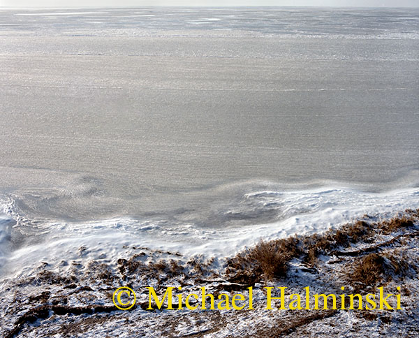
This image of the Pamlico Sound was made several years ago with my medium format film camera. As you can see, the sound was frozen well offshore. The chilly winds blow the water toward the shoreline, where it is built up as striations of ice on the surface.

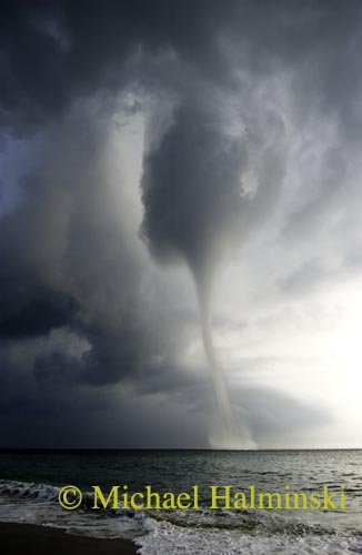
An unusual weather shot, this waterspout appeared in 2005.

It should be a fun and extraordinary show, so consider yourselves invited.