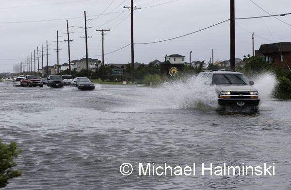
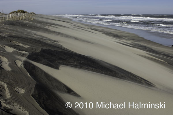
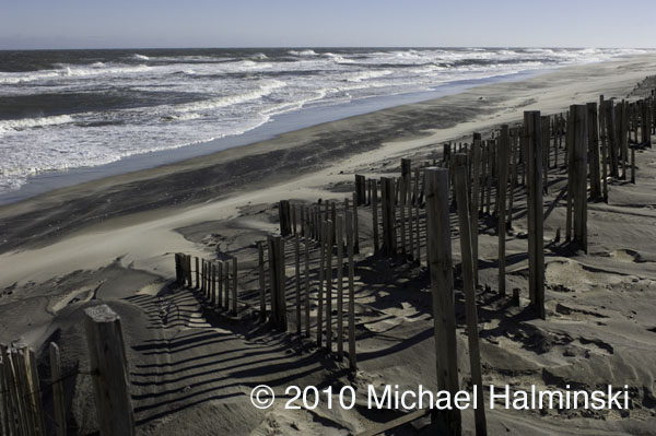
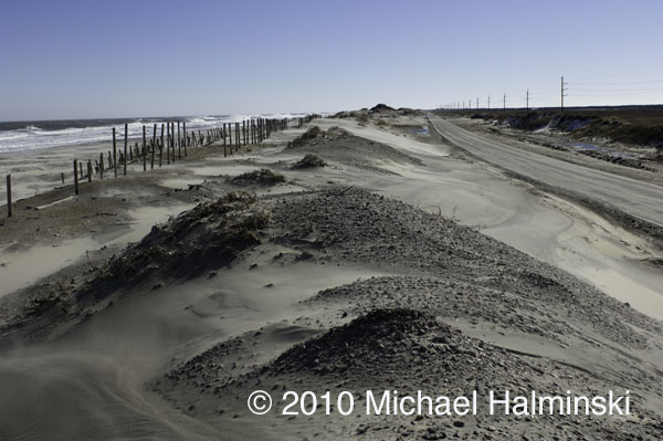
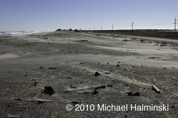
Despite our well intentioned preparations, hurricane Irene took everyone in our villages by surprise. I knew we were going to have a significant storm surge from the Pamlico Sound, as in storms of the past, but not to the extent that we got. In 2003, Isabel brought in 18 inches of water on my property. Floyd in 1999 was 24 inches. Bonnie in 1998 had 26 inches. The March storm of 1993 flooded with 50 inches of tide, and Irene came in with a whopping 66 inches. According to some of the old timers, the storm of 1944 was a benchmark by which other storms were compared. Flooding back then was apparently somewhere between the March storm and Irene. Hurricane Irene brought in more storm surge from the sound than any storm for the last 75 years. It is now the new benchmark for soundside flooding in our villages on this part of Hatteras Island.
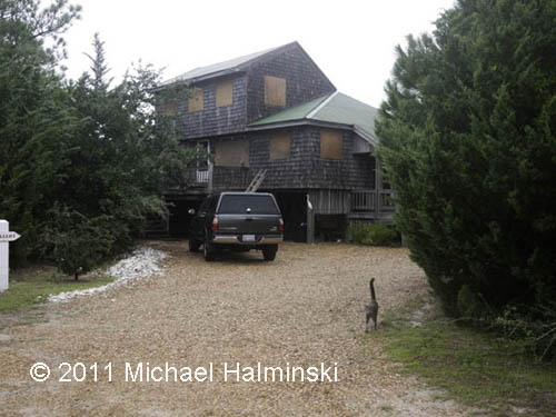
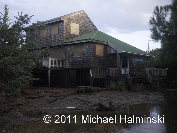
Boarded up, an all too familiar sight.
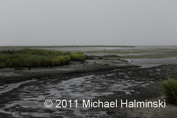
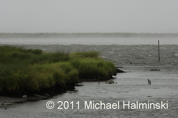
Pamlico Sound tide blown out upon Irene’s approach.
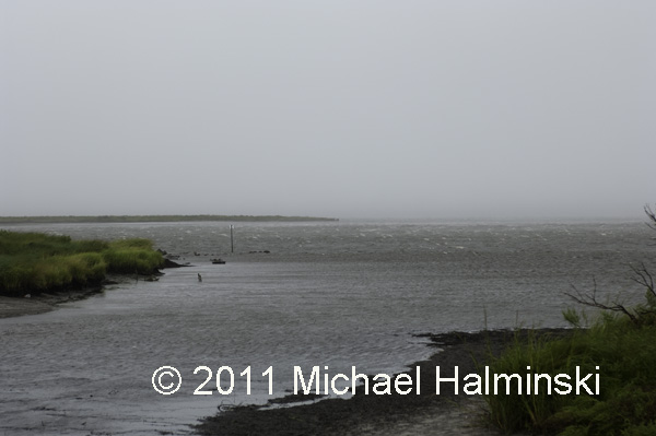
Tide coming in ahead of the wind shift.
Smoke on the water as the shifted southwest wind picks up, blowing 50 to 60.
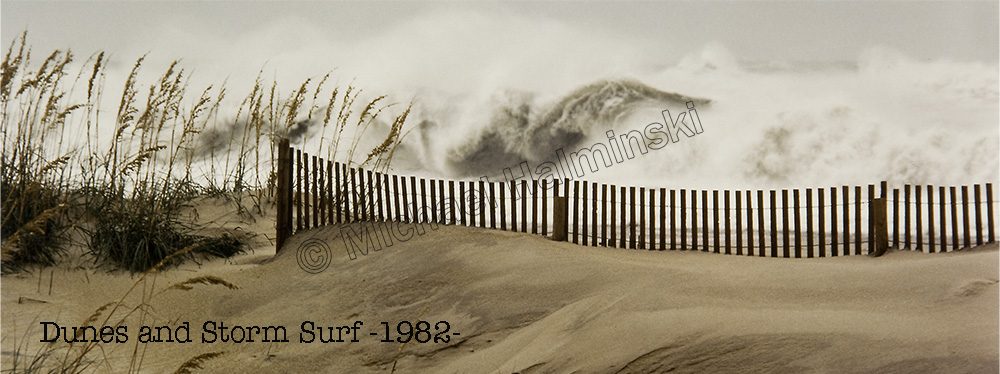
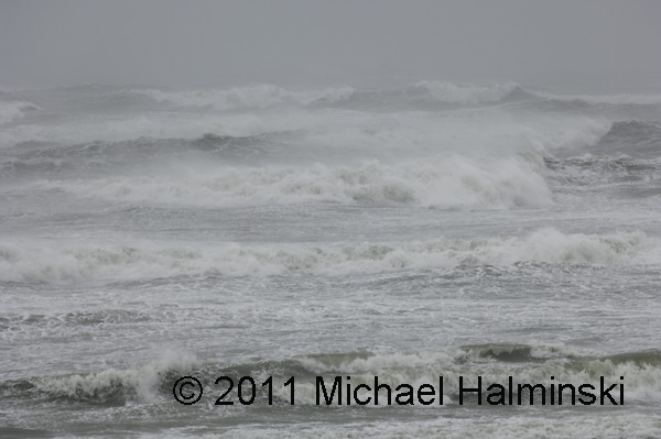
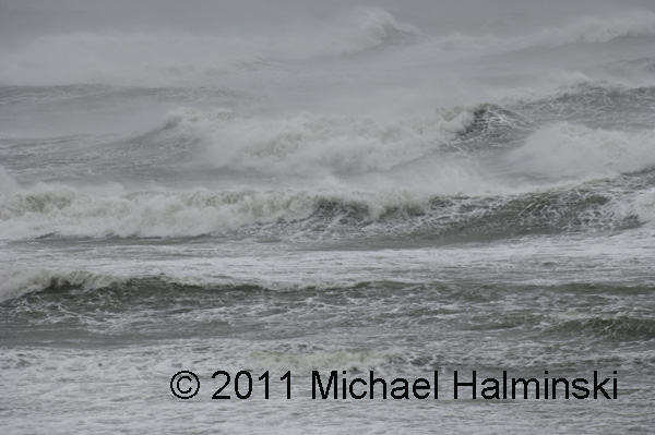
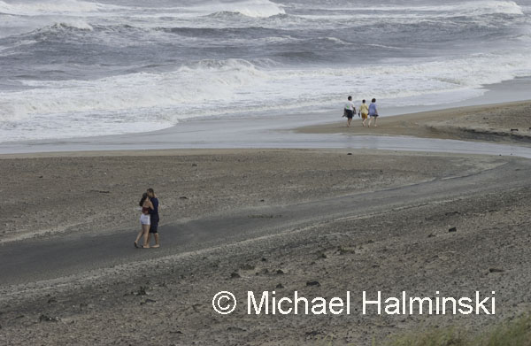
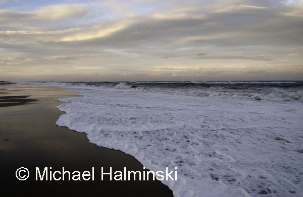
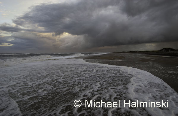
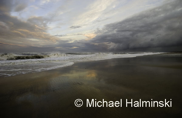
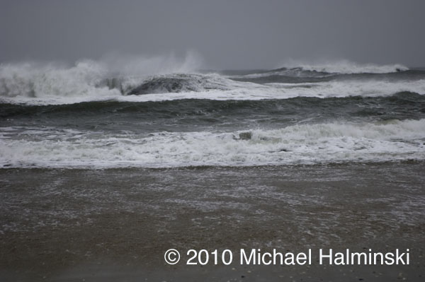
During a lull, I ventured to the beach for a shot at the ocean.
It was pure chaos, and I had trouble making it back to the house.
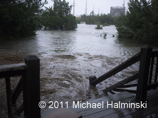
Good thing I wore my chest waders. 3 feet of water had already entered my yard, and I had 5 cats to rescue from the rising water. The barometer had dipped to 964 millibars and in the end dumped 6 feet of sound tide around my house. The water had risen to within a fraction of an inch from coming inside. We were extremely lucky.
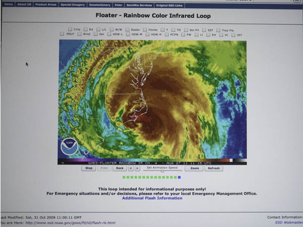
I took this screen shot of my computer, using a battery backup, right after the power went off.
The next morning after the storm, the yard was a mess with debris.
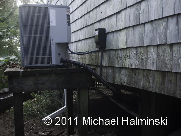
The tide had gone right up to my heat pumps, and then some.
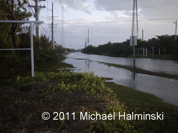
This is highway 12 in front of my house after the storm. It was eerily quiet, warm and damp. I would soon find out that many residents did not fare as well as I did. The road down the island had also been washed out.
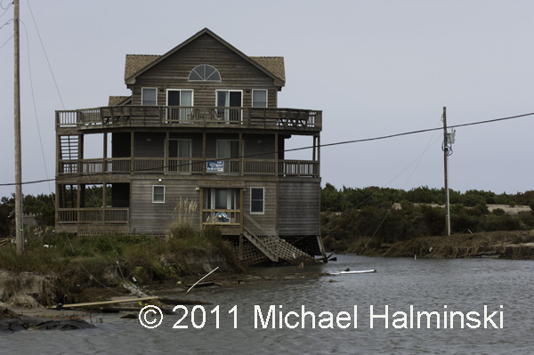
There were many homes damaged or lost.
And of course, the electricity was cut off.
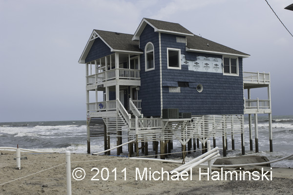
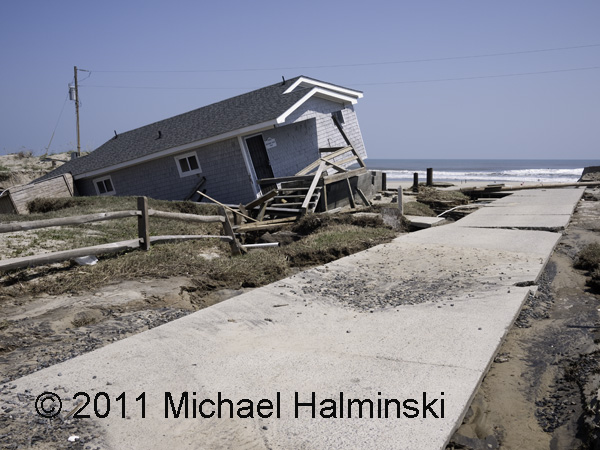
Also as a result, the cottage Tailwinds eventually fell into the sea.
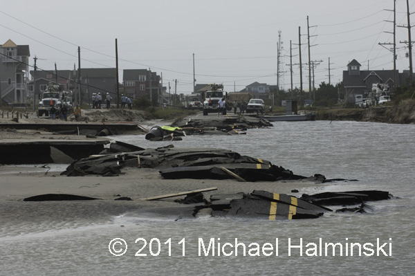
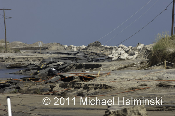
The road at Mirlo Beach was destroyed.
A leaner at Mirlo Beach.
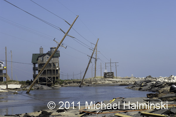
Highway 12 at the S-Curve.
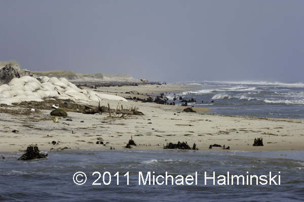
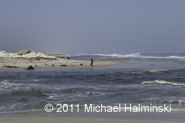
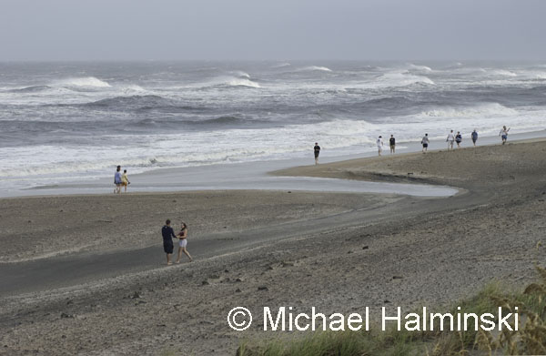
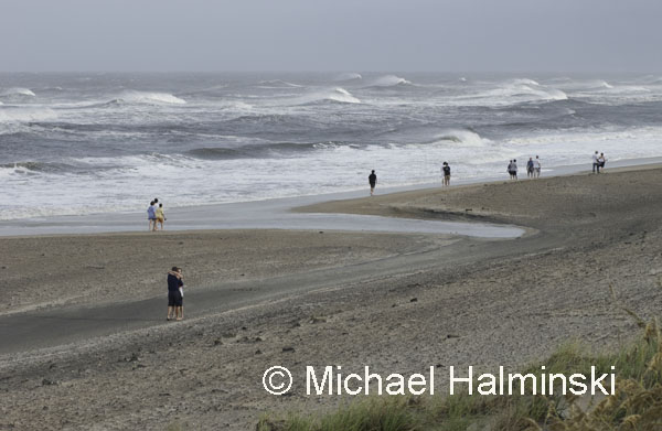
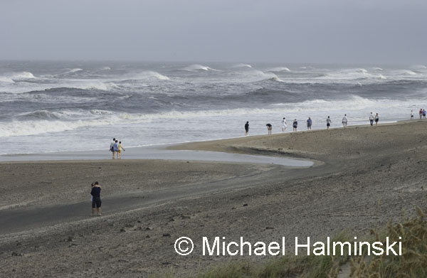
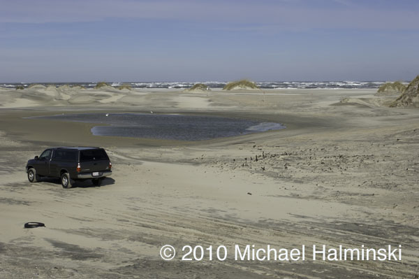
A new inlet had been cut at the S-Curve, exposing cypress stumps of a forest nearly a thousand years old.
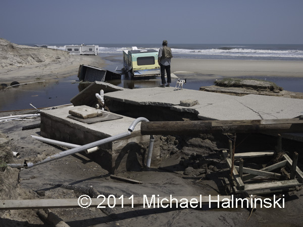
The inlet is actually an outlet caused from the sound rushing into the sea.
Another outlet was carved through North Beach Campground in Rodanthe.
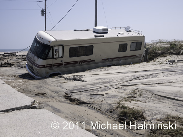
A motor home at North Beach.
Gerald O’Neal surveys the mess at his family-run campground.
The campground’s general store was inundated with sound tide.
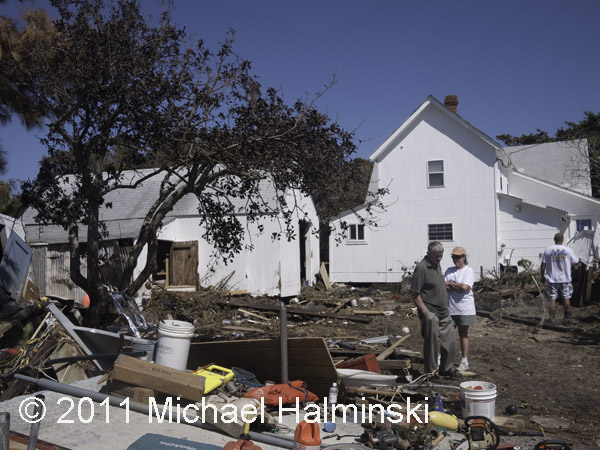
Lance Midgett’s house is over 100 years old. This is the first time a tide from Pamlico Sound has gone inside. His cleanup and rebuilding will take a long time.
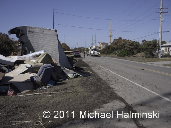
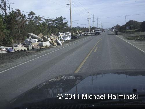
As residents take on the daunting effort of rebuilding, debris is piling up along highway 12.
Since the day after Irene left, the Salvation Army has been there to help those in need.
They are providing 3 hot meals every day,as well as lifting our spirits.
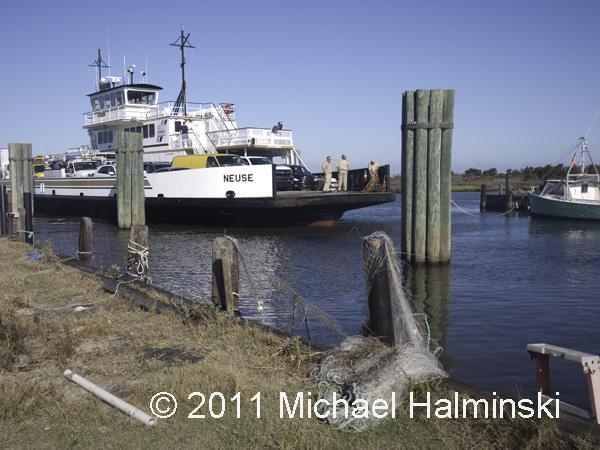
Now the ferry system is the only way on and off the island.
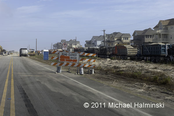
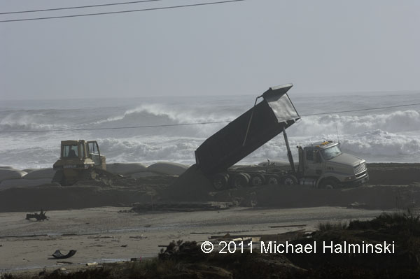
For days, trucks have been running around the clock to deliver sand from a borrow pit in Avon. NCDOT hopes to fill in the gap at S-Curve cut by the storm surge.
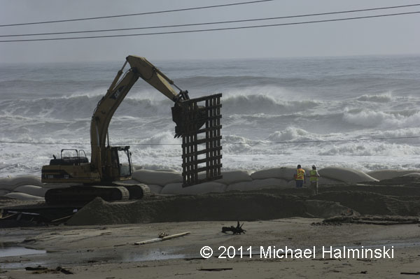
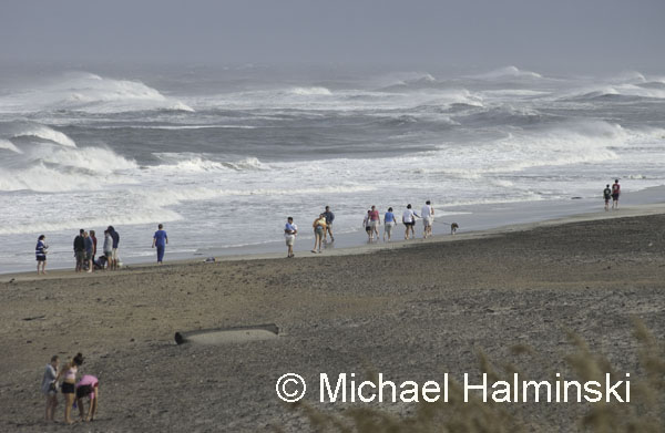
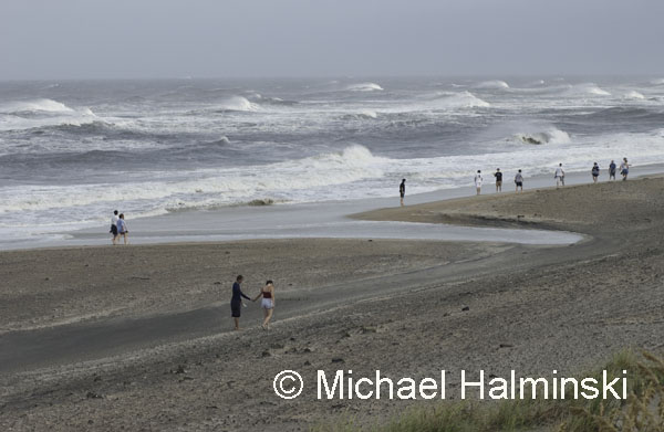
Pallets are moved into place to enable trucks to dump sand for a new roadway. In the meantime, huge swells from Hurricane Katia threaten the shoreline.
Do you think this is really going to work? This is a classic “man against nature” scenario.
Meanwhile the debris continues to pile up along highway 12. This is far from over.
