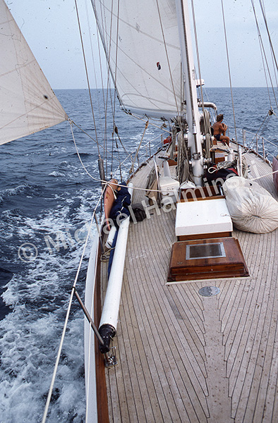
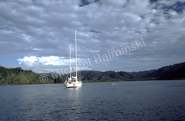
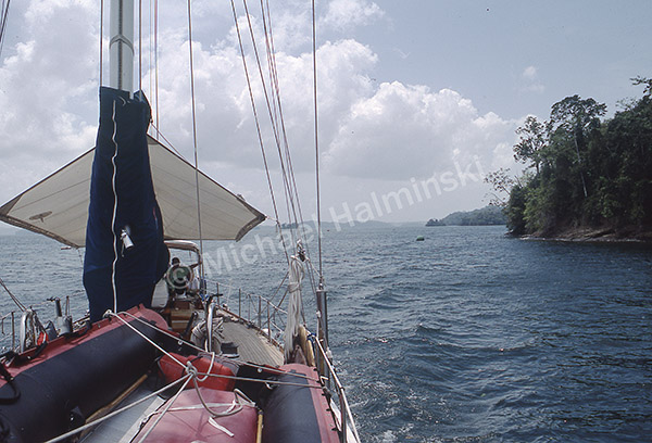
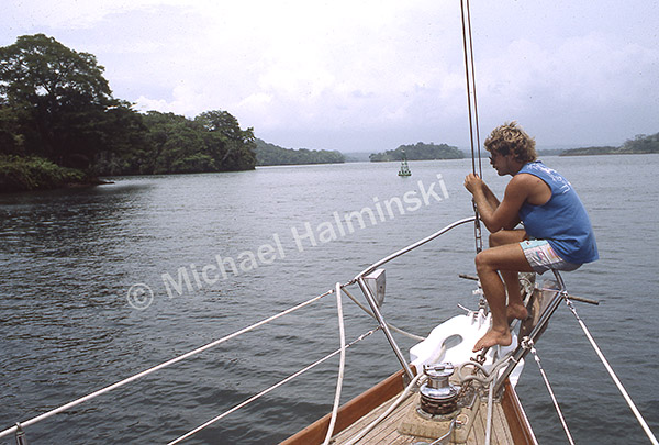
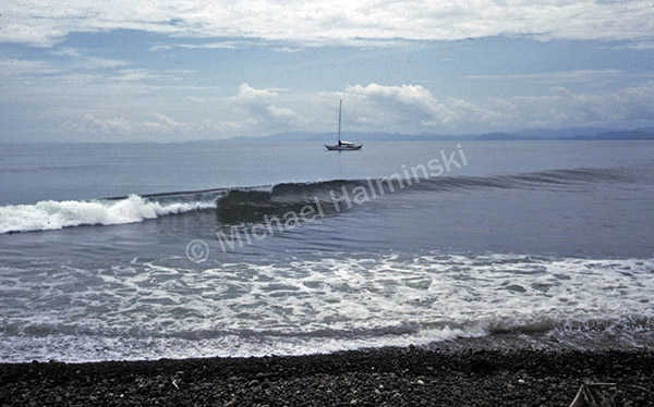
Continuing northward with diminishing wind, we motored toward Golfito, Costa Rica’s southernmost port. During my 4 AM watch I could see to starboard, the shadow of a mountainous coast. Rounding Punta Burica we entered Gulfo Dulce. It was steamy with clouds hovering over a lush, remote Osa Peninsula.
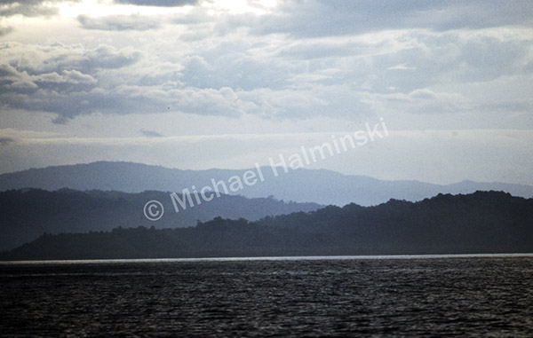
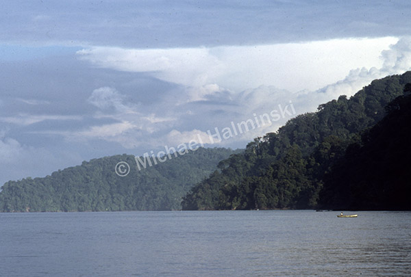
The Osa sticks out into the Pacific. A third of it is Corcovado National Park, the largest, most biodiverse natural area in the country. Years later, curiosity would take me there.
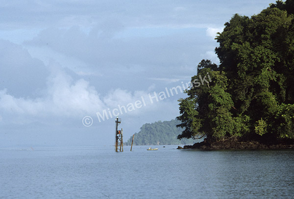
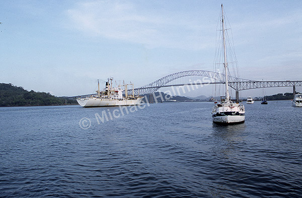
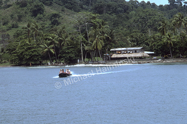
A channel marker stood at the entrance to Golfito Bay, a port developed by United Fruit Company in 1937 for the export of bananas. At the time, the region was a primeval wilderness with few inhabitants. As United Fruit thrived, so did Golfito.
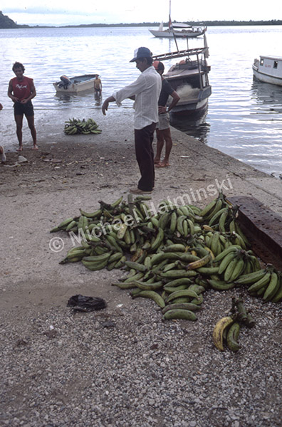
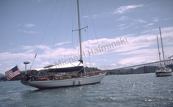
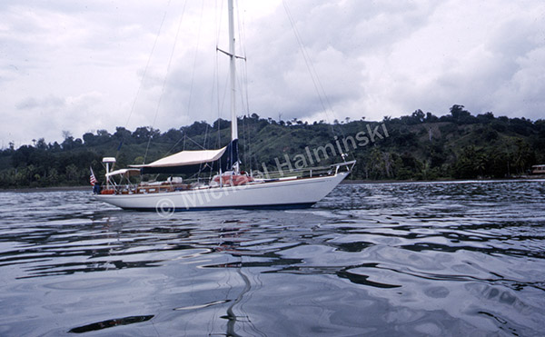
By 1984 United Fruit Company abandoned Golfito due to an economic shift to palm oil production, among other things. Challenge was anchored so we could register with the Aduana, customs office.
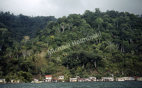
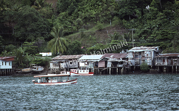
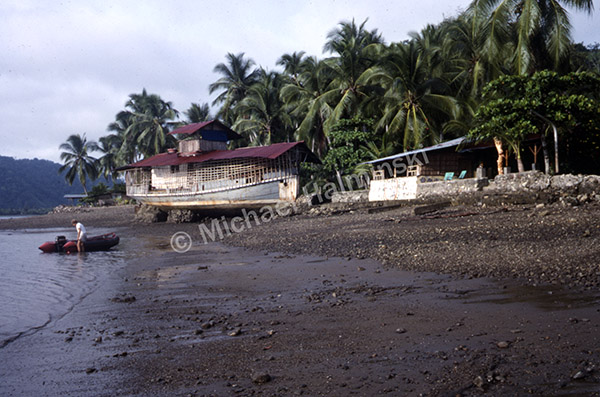
With a jungle backdrop, waterfront dwellings were a stark contrast.
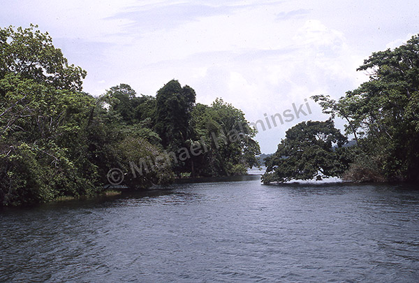
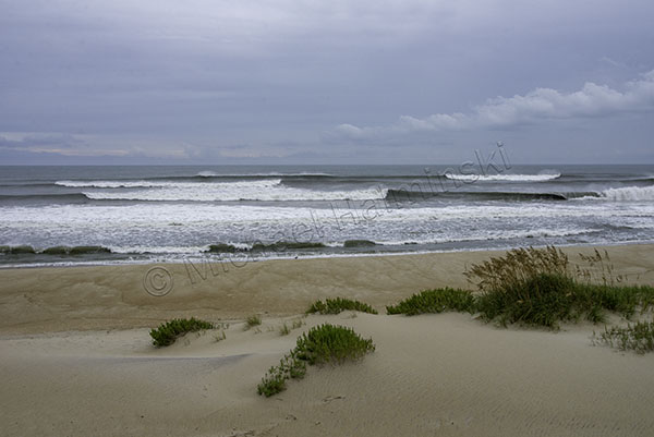
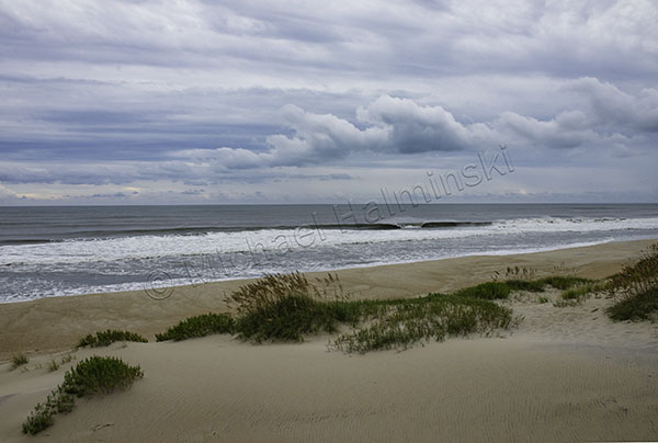
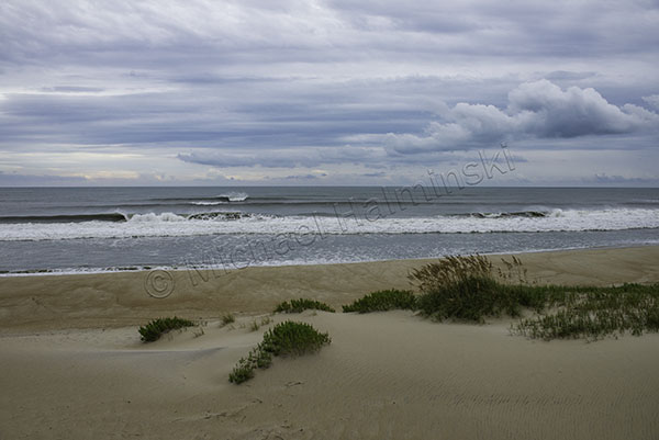
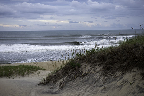
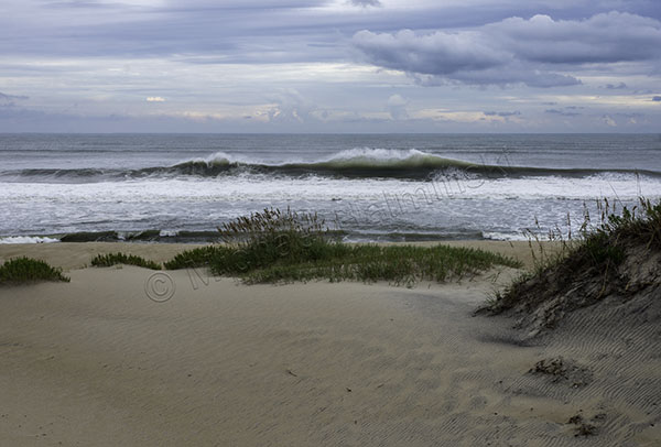
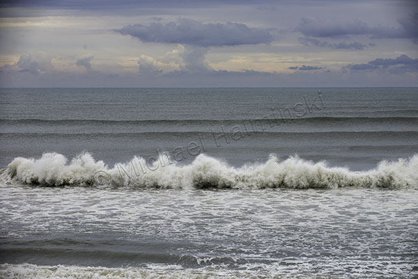
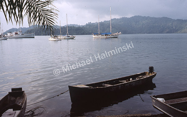
Natural beauty surrounds the bay.
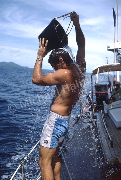
The water was 90°.
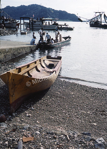
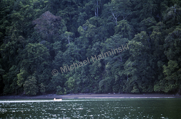
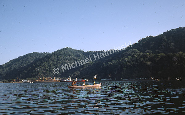
Dugout canoes crafted from single logs have probably been used here for centuries and are still commonplace.
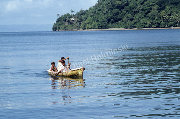
This family may have been heading to town for school or supplies. Most locals don’t have cars.
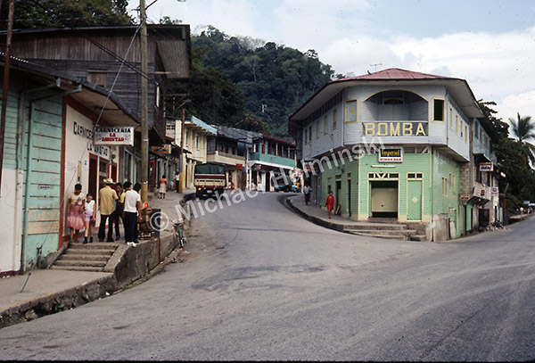
Downtown Golfito had not changed at all since my first visit in 1983.
We pulled anchor and motored to Playa Pavones to visit expatriate friend Malcolm Miles. I was first introduced to him 4 years prior as he was raising a family at Playa Zancudo. Later he built an isolated homestead well beyond Punta Banco, until finally settling on a large chunk of land at Pavones. His life as an expat has surely been interesting.
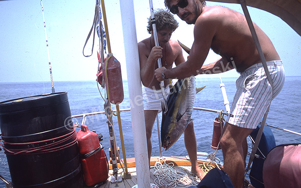
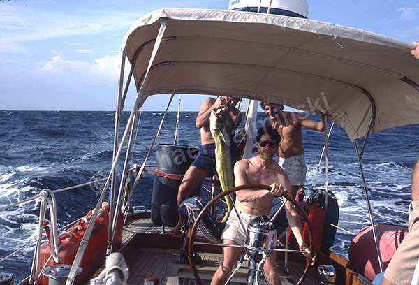
We brought Malcolm aboard to share some stories, mahi-mahi and go for a surf.
Before departing we had two more stops to make. One to get our exit visas stamped, then to visit legendary expat, Tom Claremont.
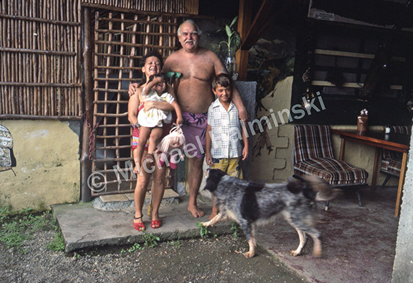
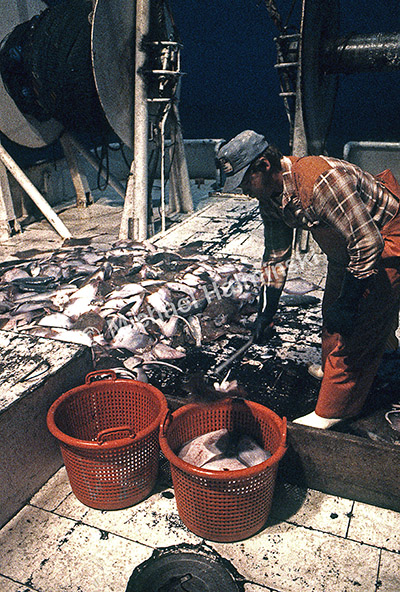
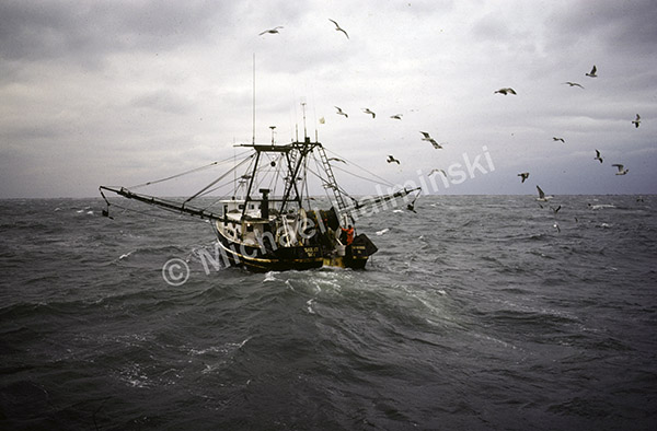
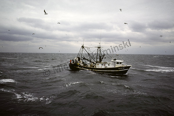
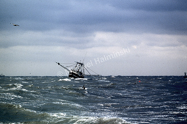
We got 15 pounds of large shrimp from a fishing trawler and visited the man known as Captain Tom. He lived on an isolated hill near the entrance to Golfito Bay with his second wife and their kids. As a young United States Marine he lost his right leg in the Battle of Iwo Jima during WW ll. Once back in the states he bought an ex-Navy sub chaser and sailed it to Costa Rica. In 1954 it broke down and he beached it nearby where he built his home. He seemed very happy and I envied his determination and lifestyle. We had quite a shrimp feast!
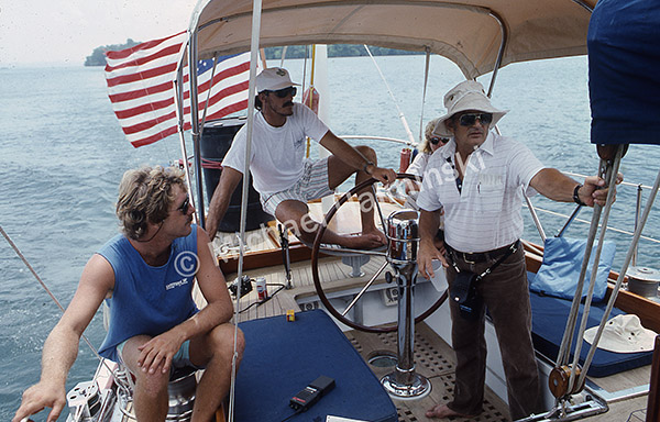
That night we slept on the deck of Challenge as a cool tropical breeze blanketed us. Our next landfall would be Puerto Madero, Mexico 4 days away.