Category Archives: Sea

End of the Road

Continued from previous entry dated May 4, 2015…

What seemed a scavenger hunt, we knew we were headed in the right direction. Journal entries confirmed a place at the end of the road, near Ke’e Beach. There were references to an area revered by Hawaiians. Known as a Heiau (hey ow), locals told us it was next to the trailhead for the Na Pali Coast, at end of the road.

journal

Robin’s leather-bound journal from 2010 was the key.

trail info

The trail entrance to Na Pali is at the end of the road.

trail in

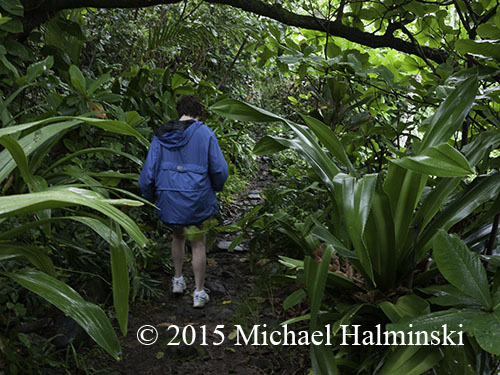
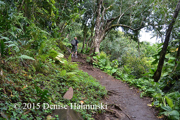
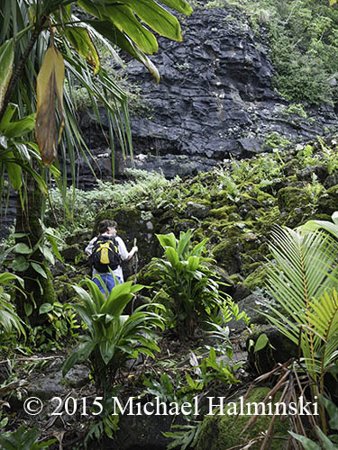
We found an overgrown path and walked through lush vegetation.

discovery

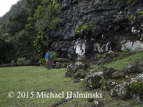
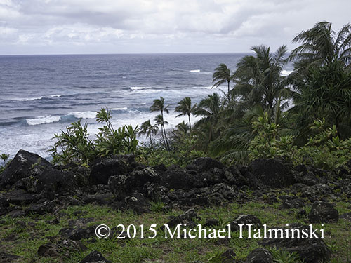
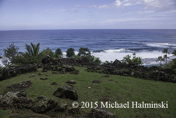
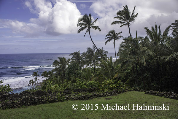
Approaching a rock wall, I felt elation, and knew this was the right place. The view was remarkable and whales spouted offshore. What an affirmation! Robin’s descriptions, photos and journal entries were a perfect match.

ocean view

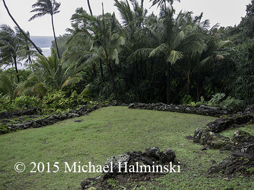
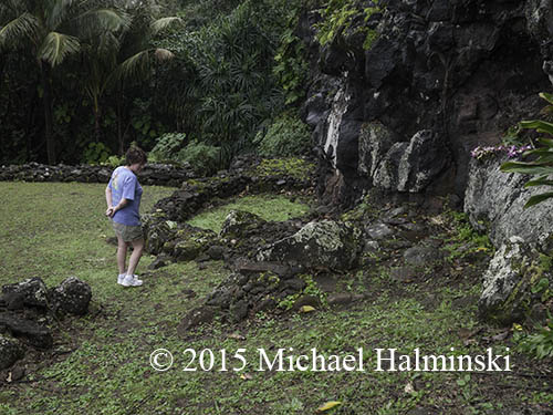
Stones were laid in an orderly fashion by ancient Hawaiians. The site was a temple and served as a school for the Hula. Students would come from surrounding islands. It is said that the goddess Pele came here from the big island after hearing the drum beats.

arrangement

I tried to imagine what was here hundreds of years ago.

oval

There could have been thatched structures and large carved Tikis.

altar

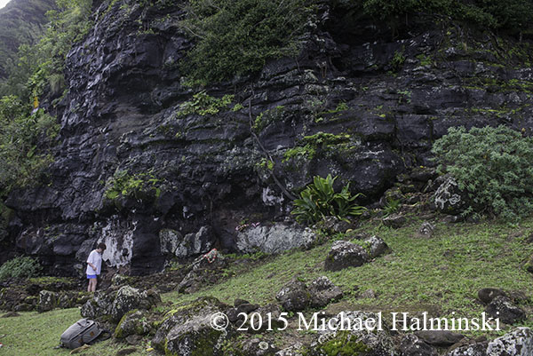
A shelf in the rock wall looked like an altar where ceremonies could have taken place.

offering

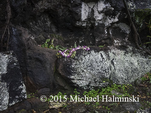
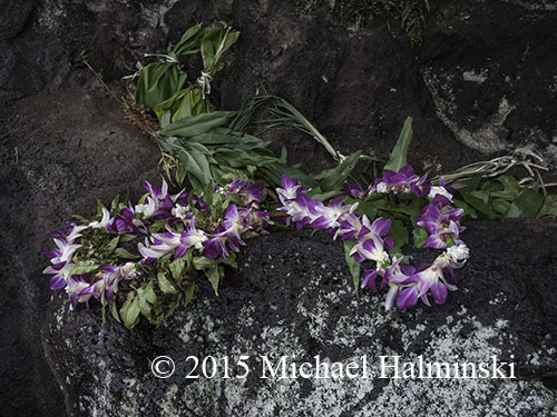
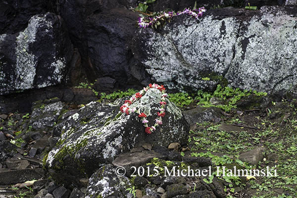
Someone left offerings wrapped in Ti leaves and a beautiful flowered lei.

Ke'e

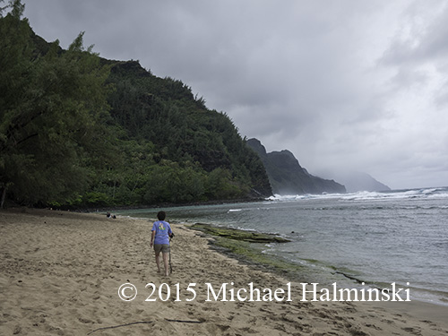
After finding the location of the Heiau, we explored the beach at Ke’e.

Haena

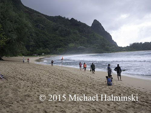
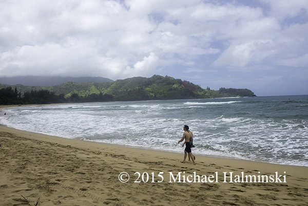
Ha’ena State Park is next to Ke’e.

Haena beach

The waves at Tunnels were big and breaking on the distant reef.

hanalei l

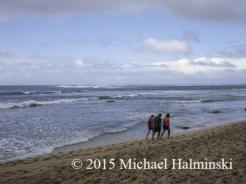
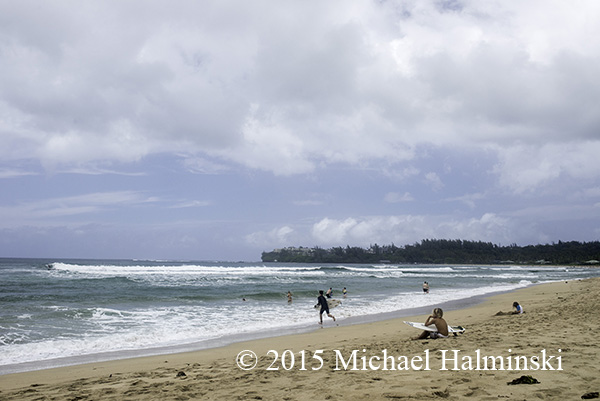
We spent some time on the wide crescent beach at Hanalei.

hanalei r

Surfers love Hanalei.

entry

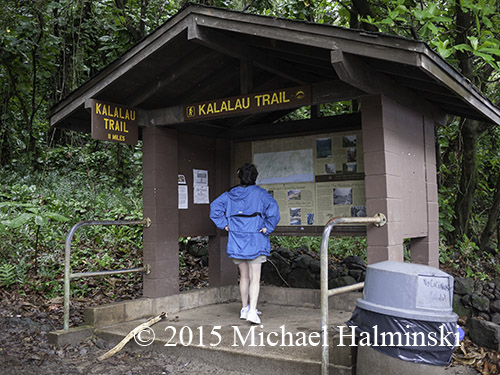
The following day we began hiking the Kalalau Trail.

stream

There were torrents everywhere.

Ke'e overlook

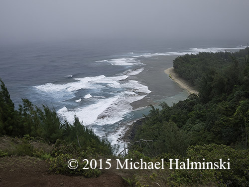
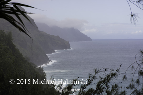
The first overlook gave a spectacular view of Ke’e Beach.

precarious

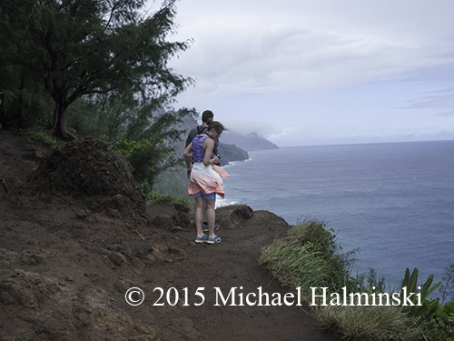
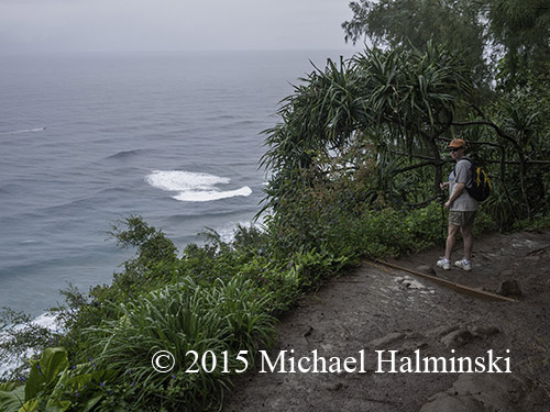
At times the steep drop-offs were precariously close to the trail.

edge

coast

In a heavy downpour it got so muddy, we had to turn back after going in ¾ mile.

orchid

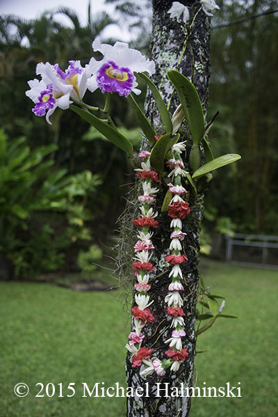
On the way back to our cottage, a man on the roadside sold us a lei made by his wife.

going up heiau

Early next morning we went to the Heiau with Robin’s ashes.

ascent

view from Heiau

It was a spectacular day, and a few whales breached from the ocean.

wall

We spent an hour contemplating the moment, and the sacredness of the site.

me

cocos

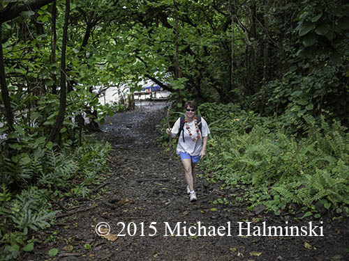
We placed the ashes up against a sheer rock wall, splashed an offering of Hawaiian rum and presented the lei.
lei

Our task was done.


The Journey

In the Fall of 2013, I did some blogging about Robin. He had a rich life but now is gone. We said our goodbyes and have had lots of time to reflect. Robin had directives in place to disperse his possessions. But there was also a last request. He wanted his ashes taken to the island of Kauai.
After he lost his wife Carey, to cancer, he returned to Kauai in 2010 to scatter her remains. Years prior, they made a number of trips to the island. Carey worked as a nurse at the hospital in Lihue and went again in 1993, after Hurricane Inniki ravaged the island. They were both very fond of the place and told captivating stories about it.

Robin wanted his final wish to be carried out by me and Denise. His directions where to go, were not crystal clear. As clues, there were vague vocal descriptions about “the end of the road”. There were also some photographs and a journal that we used, to narrow down the possibilities.

In March we embarked on a journey that ultimately took us to the North Shore of Kauai to carry out our calling. It was an introduction to a gorgeous part of the world. And for me personally, it was inspiration to remember a friend and revitalize my photography.

wing

Reality didn’t set in until I was cruising high over the Pacific Ocean bound for Kauai.

Waimea

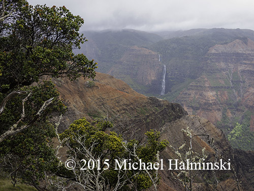
The next day I was standing on the edge of Waimea Canyon.

secret

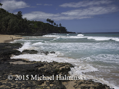
We spent some time exploring beaches around Kilauea.

nice

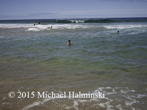
The water was amazing!

Kilauea

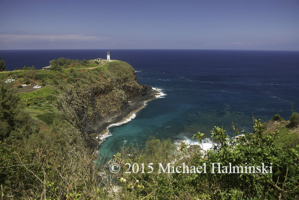
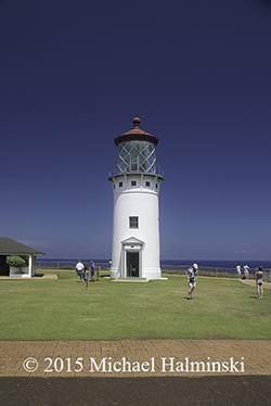
Kilauea Point is a National Wildlife Refuge with a lighthouse on it.

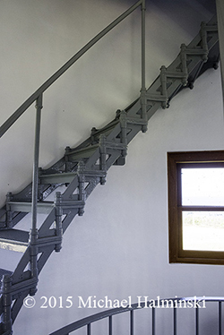
stairs light

Originally built in 1912, it was recently restored.

albatross

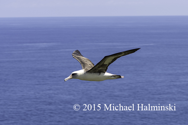
There were sea birds like this Laysan Albatross nesting in the surrounding cliffs.

farm

We hiked through a farm with 40,000 mahogany trees on it.

market

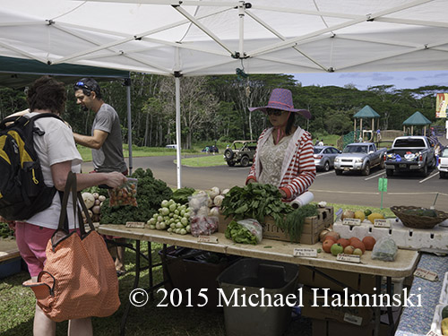
And we loved the local farmers market on Saturday.

taro

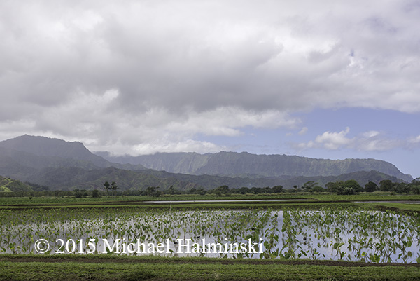
We saw how taro plants growing in Hanalei Valley provide critical waterfowl habitat.

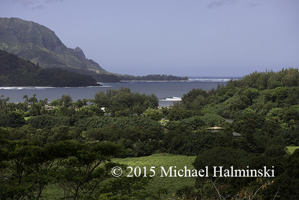
Hanalei

Perfect waves at Hanalei were visible from an overlook a mile away.

bridge

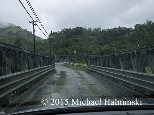
The single lane, double bridge going over the Wainiha River would eventually take us where we needed to go.

one lane

to be continued….

Sargassum

The beach is a dynamic place, and has many faces. Like the seasons, it’s ever changing. The warm Gulf Stream meanders in and out, and even influences our weather.

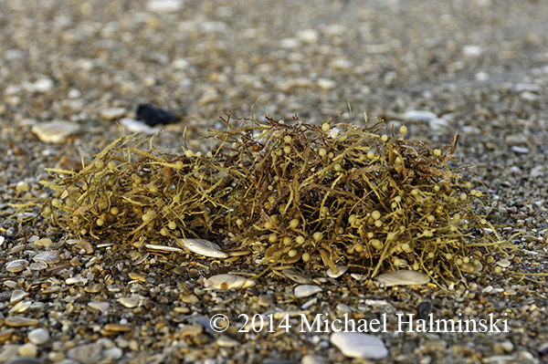
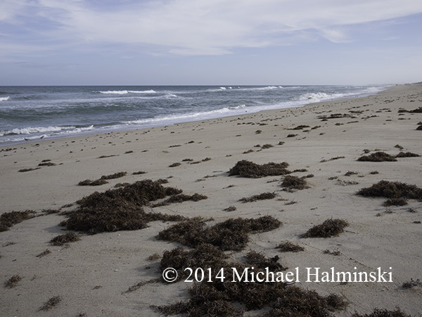
A sure sign of the Gulf Stream is the presence of seaweed washed up on the beach. Sargassum is a free floating seaweed that drifts in island-like masses and goes with the current. It is an important habitat for various forms of marine life while at sea. It provides food and protection for juvenile fish and invertebrates.

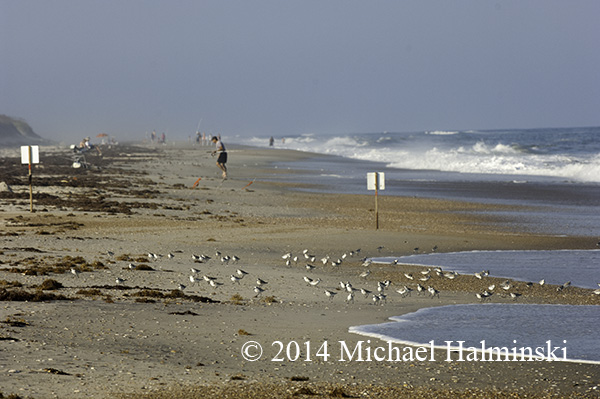
When it washes up on the beach, it attracts birds and other creatures that feed around it.

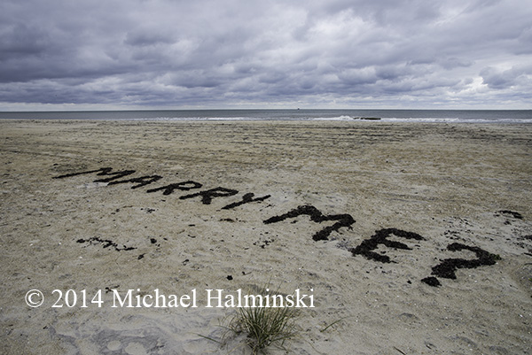
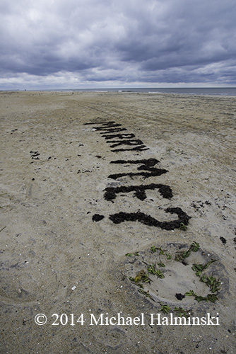
close upbirdsDuring Summer and Fall, sargassum can drift up in huge rafts.seaweedEventually it dries and decomposes. I’ve used it in my garden after it’s rinsed and composted.marrymeLast month while on a beach walk, I noticed another use for sargassum. verticle                                                        I don’t know who the author of this message was, but considering the effort, I hope the answer was an emphatic “YES”.


Skipjack and Cold Front

I’m often asked what my favorite picture is. The answer is that I can’t single out any one, from many preferred images.

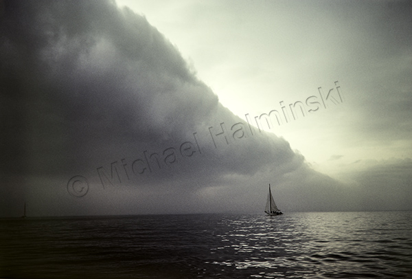
One of my most endearing shots was taken the day before Thanksgiving, 31 years ago. I was into my second season of oyster dredging on the Chesapeake Bay, aboard the sailing skipjack, Virginia W.

There were reports that the day before another workboat, Hilda Willing, had dredged its limit of 150 bushels near the mouth of the Choptank River. With oyster populations in steady decline, that was a rare occurrence.

So early that Wednesday morning, all the Tilghman Island skipjacks set out for the same spot. There was no wind, however an approaching cold front was forecast to sweep in. We had our sails up ready to work. A light breeze began to fill in, though we were still underpowered and moving at a slow pace, barely able to pull a single dredge.

skipjack frontSkipjack and Cold Front-1982- prints available on request

As was typical of my working the middle deck, throwing the starboard dredge, I had my Nikonos rangefinder camera by my side. The massive clouds of the cold front began rolling in, getting closer. I looked over to see the Sigsbee, full sails up, waiting for wind. I took 6 shots, then put my camera away.

The front was an ominous sight as we prepared for more breeze. We tied 4 reefs in the main, deployed a second dredge and began catching a few oysters. Our speed increased, a gust of wind hit, and the boat heeled over, filling my right boot with sea water. There were some tongers  working nearby, and maneuvering was tight. Coming about for another lick, we had a near collision with one of them, our massive bow sprit crossing over his cabin top.

By that time it was blowing a gale, and impossible to control the boat safely. We dropped our sails, deciding to call it quits after bringing in 4 bushels and headed home for the Thanksgiving holiday.

Mirlo Madness

The road conditions at Mirlo Beach continue to plague NCDOT, as well as residents of Hatteras Island. It’s an issue that has been ongoing during the decades that I’ve lived here, and longer.

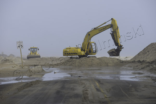
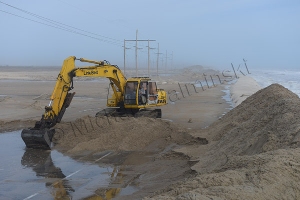
In the past several years the problem has accelerated and occurs more frequently. NCDOT’s reaction has been to perform the same repairs over and over again. They dig overwashed sand from the road surface, and pile it seaward to build a dune. Storms wash over the dune, moving the sand back onto the road.

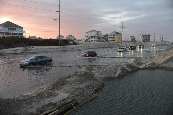
The recent storm that moved off the coast buried the road and left standing water on the surface. I put my boots on and walked there to document the scene in photographs… again.
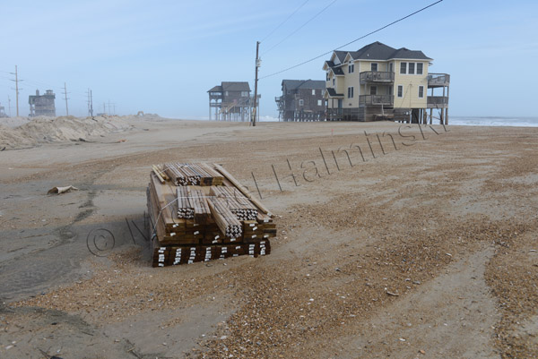
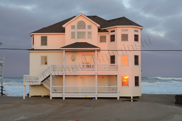
A number of homeowners in the Mirlo Beach subdivision have been trying to repair their condemned rental properties in hopes generating income. A pile of newly delivered lumber lies washed up in the sand. The approach taken to save Mirlo and highway 12 is not working.

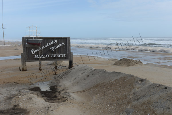
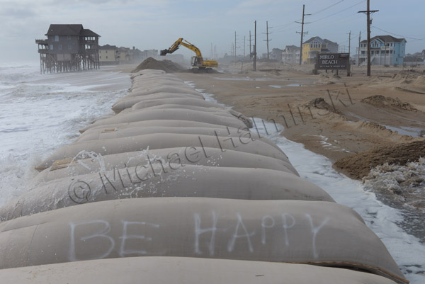
The sign at Mirlo has become a contradiction.

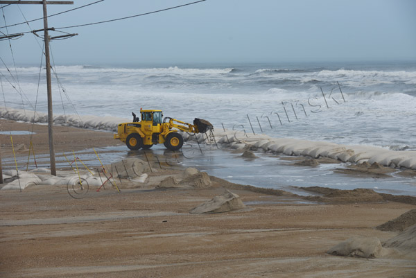
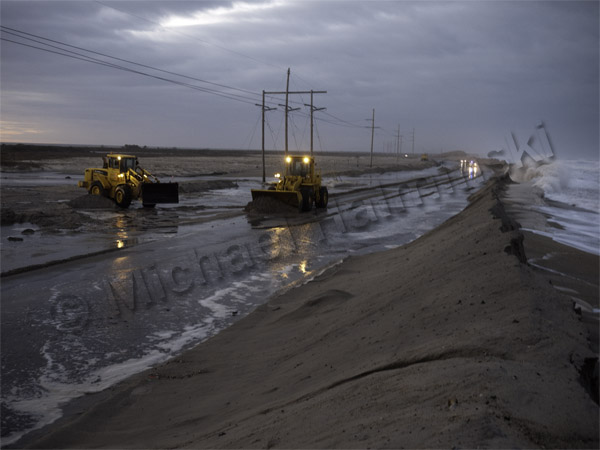
NCDOT’s tools of preference for a fix is heavy equipment, but it’s no match against the power of the sea.

A front end loader is dwarfed in the environment.

An excavator removes sand from the road surface, and piles it on top of a huge sandbag barrier.

A bit of optimism is expressed in adversity.

Vehicles endure the salt water to access the island. During periods of high storm tides, the road is impassable.

The loosing battle continues.

A fixer upper stands tall in a setting sun.