Category Archives: Weather

Sound-side Flooding

The oceanside beaches and waves are what originally attracted me to Hatteras Island. But once I got established as a resident, I realized there was more to this barrier island. The Pamlico Sound, or bay side, is a unique and precious resource. I was really impressed by it’s bounty for the commercial fishermen navigating those waters. The Pamlico Sound, one of the largest estuaries in the country, is tranquil and beautiful. But I soon learned that it could also turn stormy and treacherous. It has claimed the lives of three of my personal friends, all commercial fishermen.

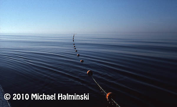
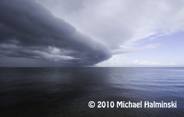
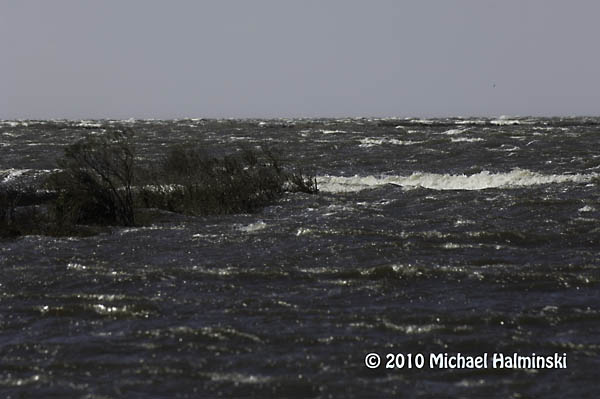
A cold front coming up the Pamlico Sound is a sure sign of changing weather.

Tides are generally driven by the gravitational pull of the moon. This is true, but the Pamlico Sound tides are mainly generated by wind. Winds blow the relatively shallow water from one side to the other. Here in the Rodanthe, Waves and Salvo township, winds from a westerly direction push the higher tides in our direction, while depleting the waters on the mainland side of the sound. Whenever we have a substantial west wind, we can get inundated by tides so high, that roads and properties get flooded. It’s times like this that a little elevation means everything.

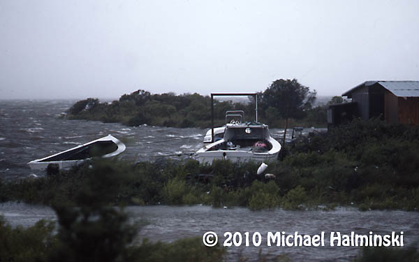
In 1986, Charley went right up the middle of Pamlico Sound. Fortunately it was a minimal hurricane with winds of only about 80. The above image shows the commercial fishing harbor in Rodanthe with seas coming over the bulkhead and on to the roadway.

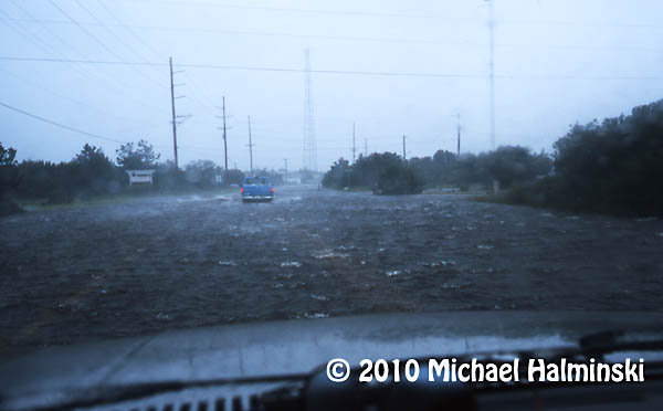
In 1999 a category 5 hurricane, named Floyd, made landfall in South Carolina. It wreaked havoc on the mainland to our west, but spared us with minor flooding and winds of only about 50 mph. Here I drive my old sacrificial Dodge truck through high tide near my home in Waves.

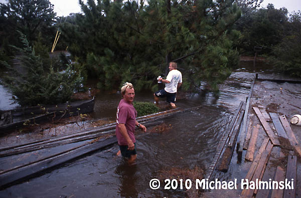
My yard during Floyd was under 2 feet of water. Here my neighbors, CE Midgett and Dale Midgett wade through the floating debris.

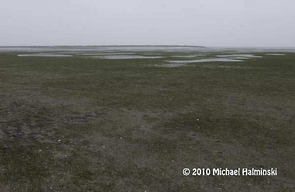
Conversely when winds wail from an easterly direction, the water on our sound side falls, sometimes enough to expose the bottom for a mile out, like during this northeaster in May of 2005.

The most severe tide that I’ve seen in over 36 years was during the March storm of 1993, when we experienced westerlies of 100 miles an hour. This was caused by a powerful low pressure system advancing up the east coast, not off shore, but centered to our west. We had tides driven 8 to 10 feet above normal. That day the sound waters met the ocean dunes. Cars were ruined and homes damaged by flood.  I had 4 feet of water in my yard, not to mention the breaking waves. Old timers say it was the worst flooding since the storm of 1944. Our worst case scenario is to have the eye of a powerful hurricane going right up the Pamlico Sound.

Just last week we had westerlies of 35 to 50, with higher gusts. The water came up quickly, although not with the ferocity that I’ve seen before. It was just enough to disrupt business as usual, and cause a nuisance. The tides were about 4 feet above normal. So I had several inches of tide in my yard. Portions of highway 12 were under 1 to 2 feet of salt water, not good for the life of transiting vehicles.

This last storm brought about 8 inches of sound tide in my yard. Home sweet home! The drill starts with vacating vehicles from the premises and parking them on higher ground.

My west property border meets the sound. As you can see, the vegetated wetland absorbs much of the wave action. I don’t understand it when people building on the Outer Banks clear cut, remove this buffer or fill the marsh. It’s really all that holds this sandbar island together.

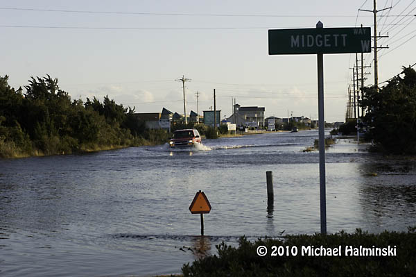
This shot was taken last week, February 10. I wonder if this driver has a captain’s license.

Excessive tides have always been a way of life on Hatteras. It’s something that requires readiness and preparation. Sometimes it’s predictable. Other times it’s more of a surprise. It’s not a matter of if, but when the next one will occur.
More troubles at the S-Curve

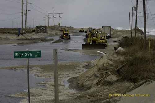
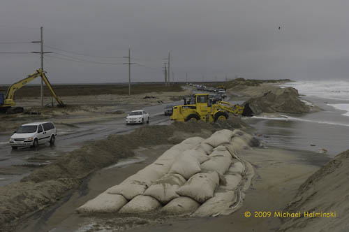
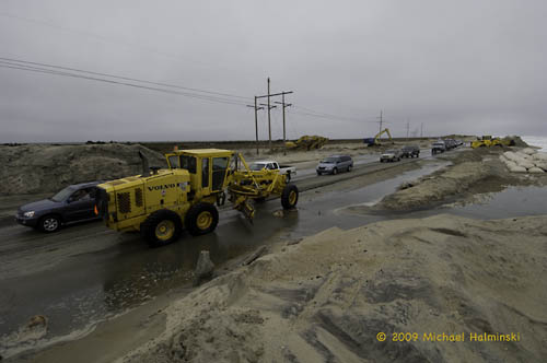
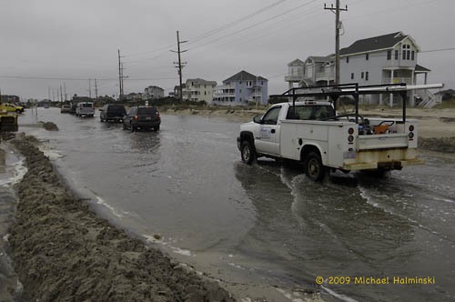
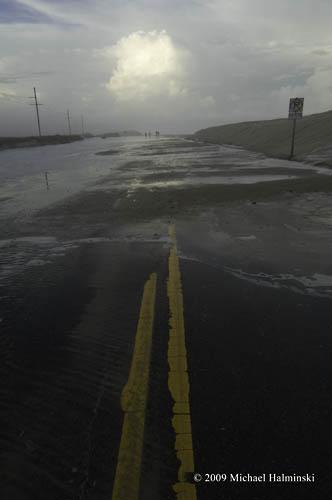
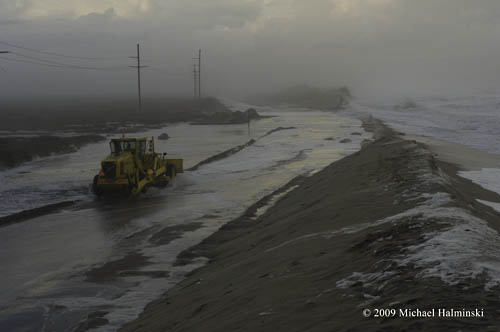
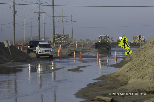
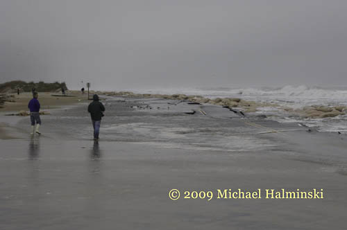
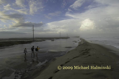
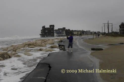
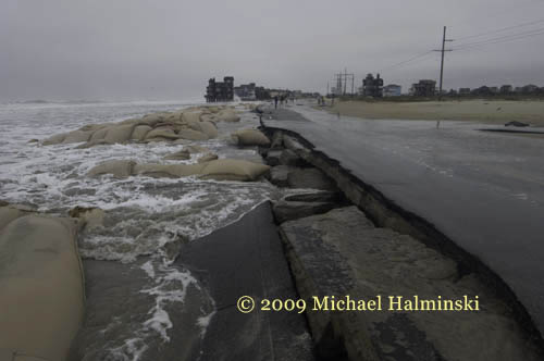
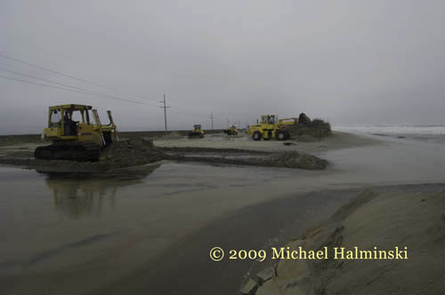
Just as NCDOT people are working feverishly to bring some semblance of normalcy back to the S-Curve portion of highway 12, another weather system hits. At high tide this morning, the new dune area was breached and suddenly there’s 2 feet of sea water on the road. We’ve seen it before, and we’ll see it again.


_MH05985

This looks like a repeat of the last northeaster.
 

_MH06015

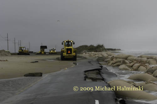
Traffic moves slowly, one lane at a time, while DOT equipment continues working.
 

_MH06017


_MH06020

The Outer Banks can be hell on your vehicle


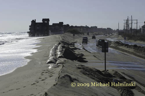
Even with the new alternative road bed paved just west of the old pavement, the reconstructed dune line going in, complete with huge sandbags, it looks like a loosing battle to me. I wish I could say differently, but at this stage of the game, that’s how I feel about it. And with the storm season only beginning, it’s going to be a long winter, as far as this is concerned.


_MH05983


_MH06005


_MH06025

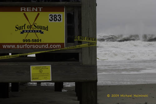
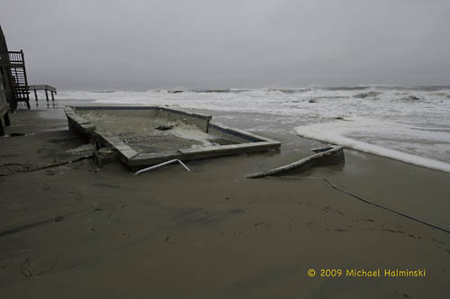
Condemnation notice.


_MH06028


_MH06031


_MH06032

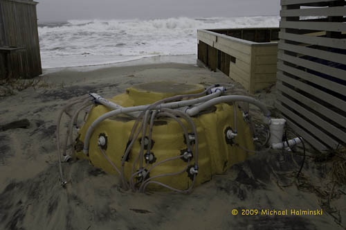
Jacuzzi anyone?


Editing a Storm

This blog entry was originally posted on November 19, 2009


Now that the storm is over, the memory still lingers. Many of us also have images to refreshen those memories. Some of my favorites have already been published on this blog. But I have a few more to share.


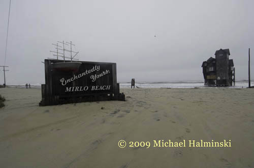
At one point, during the fury of the storm the sun popped out for a little while. The seas were building and the water was swirling across the shore. Walking the area of Mirlo Beach, I could see that this was just getting more intense. I can’t explain taking pictures in this situation. It’s almost as though another sense kicks in. I’m surrounded by vibrant, visual energy, and I have to enclose portions of that in the viewfinder. Some shots, I know have impact as they are taken, but many come as surprises, later in the editing process.


_MH05412


_MH05423


_MH05433


_MH05439


_MH05448


_MH05461


_MH05470


_MH05474


_MH05487_MH05484


_MH05517


_MH05525


This may be the end of my storm entries for a while, at least I hope so.


NCDOT to the Rescue…… again

This entry was originally posted on November 16, 2009

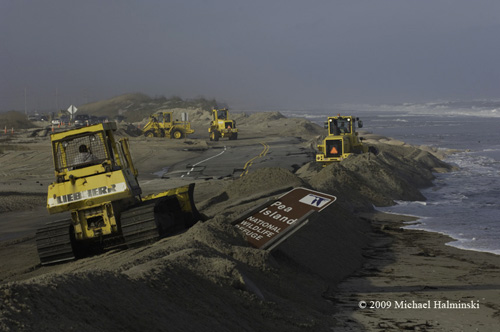
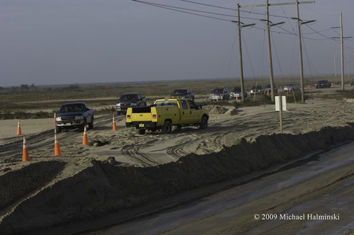
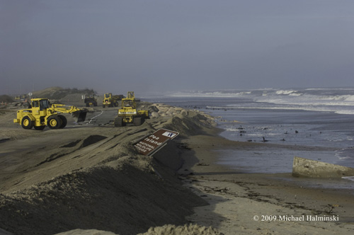
 Yesterday the 15th of November, one day after the storm wiped out a portion of highway 12 at the S-Curve, North Carolina Department of Transportation officials began work to reconstruct the main road coming into north Rodanthe. They are working to build back the berm that was washed away. What they are going to do about resurfacing the road is another matter. In the meantime, only 4-wheel drive traffic is allowed to transit on a temporary sand road west of the affected area. This is in effect only during daytime hours.

_MH05698

_MH05706

_MH05710

_MH05736


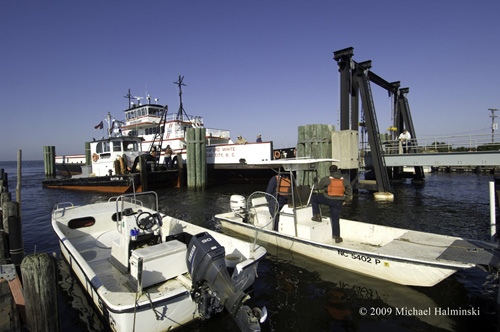
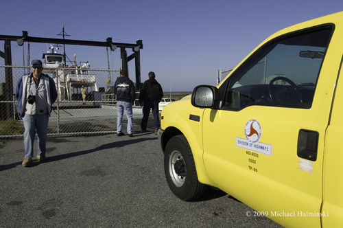
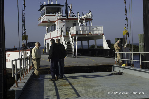
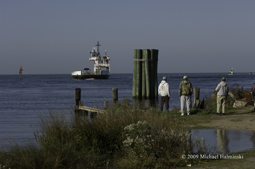
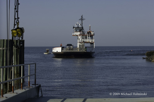
This morning, I looked out my upstairs window over the Pamlico Sound to see the NCDOT ferry “Stanford White” heading to Rodanthe. Once I arrived on the scene, I learned that the ferry operations would begin tomorrow carrying mainly commercial traffic and other vehicles between the Stumpy Point ferry terminal and Rodanthe. This is not an official notice, however, just what I was hearing at the time. It could be rumor. It could be fact. So far I see no notice about it on NCDOT or Dare County web sites.

_MH05743

_MH05747

_MH05754

The new Rodanthe ferry service has had a few test runs in the past, but never truly implemented.

_MH05761

Salvo native, Richie Austin seems pleased about the prospects.

_MH05771

Jack Cahoon, the present NCDOT Ferry Operations Director was personally on hand to help smooth out the transition. Locals here have known for some time that this day was coming. It was just a matter of when.


November Northeaster

This entry was originally posted on November 14, 2009


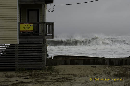
One of the things that originally attracted me to Hatteras Island was the raw nature of the place. As the son of a meteorologist, I must have had this fascination ingrained in me. Dynamic weather conditions have shaped the Outer Banks for centuries, and this recent northeaster was a prime example. 


Forecasters had this one pegged pretty well. There was ample time to prepare, but for those with real estate interests on the Rodanthe oceanfront, all the preparation in the world could not hold back the force of the sea. 


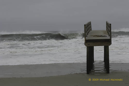
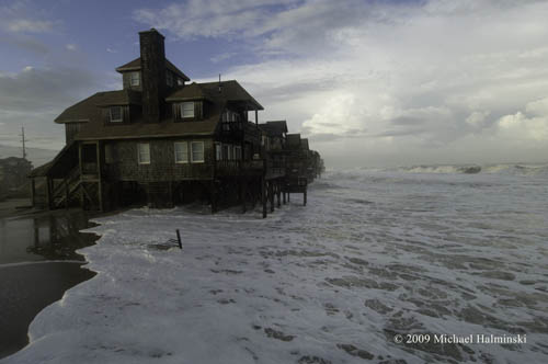
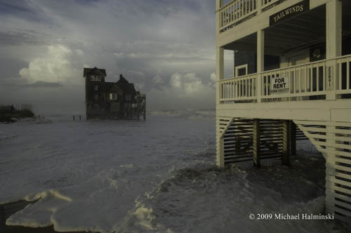
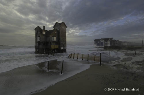
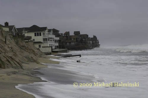
I’ve photographed this particular location during storms for decades, and the coastline here has one of the highest erosion rates on the North Carolina coast. The ocean has chipped away storm after storm, year after year. In that time, people have chosen to build dream homes by the sea. Many have fallen victim to the waves, and many linger close by.


_MH05573

Looking north toward Mirlo Beach.


_MH05608

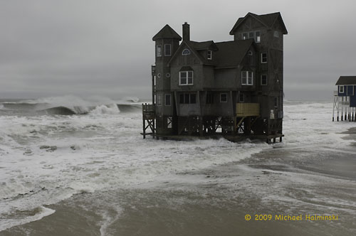
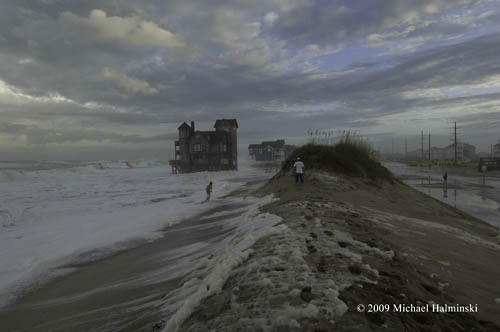
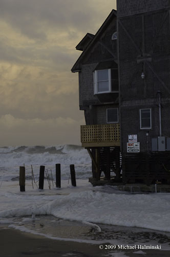
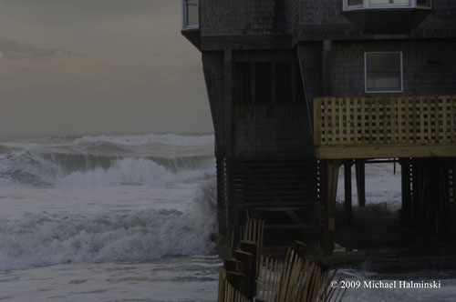
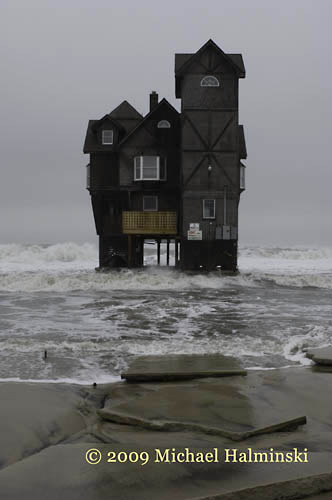
Serendipity on the north end of town, holding on.


_MH05595

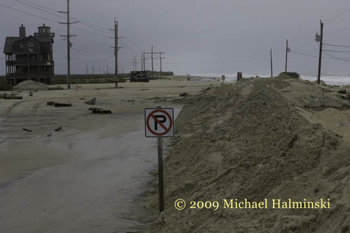
Highway 12 at Mirlo Beach facing north.


_MH05611

The infamous S-Curve.


_MH05454

The S-Curve 2 days earlier.


_MH05192

The S-curve one week ago.


_MH05620

Remnants of the S-Curve.


_MH05647


This time the raging sea not only threatened beach houses, but it took a portion of our only roadway connecting us to the mainland. The State of North Carolina has spent millions of dollars trying to keep highway 12 intact. In a couple of spots, NC12 has had to be relocated to the west as previous roadways succumb to the sea. The S-Curve has been moved 3 times since I’ve lived here, but now it’s running out of room.


_MH05637

_MH05662

_MH05679


Stay tuned for further developments!